manuals.online logo
Brands
  1. Home
  2. •
  3. Brands
  4. •
  5. Brunton
  6. •
  7. Camping Equipment
  8. •
  9. Brunton QuadTool User manual

Brunton QuadTool User manual

Field tested by
Teton County Search and Rescue.
Page 1
The indispensable link between
map, compass and GPS.
SIMPLE !ACCURATE !COMPACT !FIELD EFFECTIVE
Map Datum Designation (Figure 1)
Latitude/Longitude Scale
Using your QUAD TOOL
The indispensable link between
map, compass and GPS.
Find positions in:
"Universal Transverse Mercator (UTM)
"Latitude & Longitude
"Range & Township
Plot distance in:
"Meters
"Kilometers
"Feet
"Miles
Compute slope steepness for:
"Route Finding
"Avalanche Prediction
"20, 40 or 80-foot Contours
For USGS 7.5 minute series,
1:24,000 scale only.
Printed on flexible, sturdy plastic with
protective no-glare finish. 7.6” x 1.7”
BRUNTONQUAD TOOL
For use with 1:24,000 scale maps.
QUAD TOOL
©
©
QUAD TOOL
©
USGS Topographic Map (Figure 2)
UNITED STATES
DEPARTMENTOF THE INTERIOR
GEOLOGICALSURVEY
SWEETWATERGAP QUADRANGLE
WYOMING
7.5 MINUTE SERIES (TOPOGRAPHIC)
42'30"
40'
42˚37'30"
42˚45'
42'30"
40'
42˚37'30"
109˚07'30" 5' 2'30"
109˚07'30" 5' 2'30"
42˚45' 109˚00'
109˚00'
N
Distance Scale - Feet
Range and Township Grid Tool
Distance Scale - Mile Slope Angle UTM Tool / Metric Scale
Latitude-Longitude
Latitude-Longitude (lat./long.) is a spherical
coordinate system. A position on Earth is mea-
sured in degrees ( o), minutes ( ‘ ) and seconds
( “ ), and starts from 0olatitude (Equator) and 0o
longitude (Prime Meridian).
For GPS receiver use, identify the map datum at
the lower-left corner on the map, (Figure 1).
Map datums were created because the Earth is
not a perfect sphere and corrections for mapping
are needed. When using a map with no map
datum identified use World Geodetic System
1984 (WGS-84) map datum.
All USGS topographic maps are bound by 7.5
minutes of latitude and longitude, and each cor-
ner is identified in lat./long. Latitude-longitude
tick marks are positioned every 2’30” around the
map (Figure 2). The crosses in the center of the
map indicate intersection points.
All of the examples use a 1:24,000 scale, USGS,
topographic map and the QUAD TOOL .
Latitude-Longitude Positioning
1. Document map datum.
· 1927 North American Datum (NAD-27us)
(Figure 1)
2. Identify the black lat./long. tick marks, and
draw lines connecting equal value ticks to pro-
duce 9 small rectangles (Figure 2).
3. Mark position with an “X”.
4. Place the lat./long. scale vertically so its “0” is
at the bottom of one of the rectangles
and next to the “X” (Figure 3)
5. At the “X”, add the scale value (1’ 23”) to the
line at the latitude line (42°42’ 30”).
· Add values similar to time on a clock.
42°42’ 30”
+ 01’ 23”
42°43’ 53” = 42°°43’ 53” N. Latitude
42°42’30”
42°45’00”
1’23”
Latitude Measurement (Figure 3)
6. Tilt lat./long. scale to the left until its “0” is at
the right, and its 2’30” touches the left side of
the rectangle (Figure 4, pg. 2).
7. Slide scale up or down until it lies next to the
“X” (Figure 4).
8. At the “X”, add the scale value (1’ 01”) to the
lowest longitude value (109°05’ 00”), same as
step # 5 above.
9. Longitude = 109°°06’ 01” W. Longitude
Final Lat. / Long. Coordinate is:
42°°43’ 53” N. Lat..
109°°06’ 01” W. Long.
Set GPS to NAD-27us map datum before enter-
ing coordinate.
Public Land Survey (Figure 9)
17
BRUNTON
Public Land Survey
Public Land Survey is a set of Range and
Township lines which form a grid with solid and
dashed red lines for projected survey. If they are
not printed on the map, they cannot be drawn in.
Public land survey is not GPS compatible.Brass
bench marks throughout the country can be found
in the field identifying the section, township and
range in which each bench mark lies.
Sections are numbered 1 through 36 within a giv-
en Township and are grided with red lines. Sec-
tions are theoretically 1 mile square and can be
measured to 2.5 acres using the 1/16 mile incre-
ments. Location is an area, not a point. This is
expressed in sub-quarters, i.e. SE1/4 of NE1/4 of
section 18 Range 116 W, Township 41N (figure
9). Used primarily by US Forest Service.
Slope
Slope in degrees is the angle of inclination. This
tool is primarily for maps using 40-foot contour
intervals (figure 8). The contour intervals (40 ft.)
are marked with light brown lines and the index
contours (200 ft.) with dark brown lines.
Align tool along the implied fall line, perpendicu-
lar to the contour lines (figure 9). Slide tool until 2
equal ticks most closely match 2 index (dark
brown) contour lines on the map. Read slope
angle in degrees (30°, Figure 9).
For 20-foot contour intervals, span 4 index con-
tours with 2 equal ticks. For 80-foot contour
intervals, span only 1 index with 2 ticks.
Slope Angle - Approximately 30o(Figure 9)
QUAD TOOL

Brunton, has a complete line of quality outdoor
products which will suit the beginner and the pro-
fessional alike. Visit our Web-site!
Call, e-maill or mail us at Brunton, 620 East Mon-
roe Avenue, Riverton, WY 82501 for a catalog of
our complete line of outdoor products.
Additional BRUNTON Product
Contour Interval (Figure 8)
109o07’30” 05’
Longitude Measurement (Figure 4)
UTM
Universal Transverse Mercator (UTM)
is a 1,000 meter by 1,000 meter square, coordi-
nate system, and is measured from the Equator
(0° latitude) and a zone meridian located in the
center of each zone. UTM divides the Earth into
60 zones, so it is important to identify and docu-
ment the zone number and map datum from the
map, for GPS receiver use (Figure 5).
Map datums were created because the Earth is
not a perfect sphere and corrections for mapping
are needed. When using a map with no map
datum identified use World Geodetic System
1984 (WGS-84).
UTM is marked on a USGS topographic map
with blue ticks (Figure 5) and is labeled using an
easting (always increases right) and a northing
(always increases up). Full UTM labels
(4722000mN) are in the lower right-hand and upper
left-hand corners of the map, with other UTM
labels abbreviated (4731).
Map Datum and UTM Zone (Figure 5)
UTM Tick Marks (Figure 6)
UTM - Outside light
blue ticks
margin
4731
4730
UTM Positioning
1. Document zone number and map datum.
· zone 12 & 1927 North American Datum
(NAD-27us) (Figure 5)
2. Mark position with an “X”.
3. Identify blue UTM ticks and labels around
map’s margin and draw lines connecting equal
value UTM ticks to form a 1,000 meter square
around the “X” (Figure 7).
1’01”
www.brunton.com !(307) 856-6559 ![email protected]
GET OUT THERE
8099 EclipseCompass
BatterySaver Powerpak
In the field AA rechargable & multi-
device charger
Multi-NavigatorMNS
UTM Measurement - (Figure 7)
4722000mN
6 63000mN
4723
6 62
4. Place “0” of the UTM scale at the “X”.
· Keep UTM scale parallel to the grid lines.
5. Identify the value on the scale at the left side
of the square, 600 m (Figure 7).
6. Add 600 meter to the value on the scale at the
left side of the square, 662000m.
· 600 mE + 662000mE = 662600mE
7. Identify the value on the scale at the bottom of
the square, 540 m (Figure 7).
8. Add 540 m to the value of the bottom of the
square, 4722000m.
· 540 mN + 4722000mN = 4722540mN
Final UTM coordinate is:
662600mE 4722540mN zone 12 NAD-27us
Set GPS to NAD-27us map datum before enter-
ing coordinate. An advantage of using UTM is
that it is possible to visually approximate a posi-
tion with 100 meter accuracy or better.
GPS, compass, barometric pressure & altimeter
Compass & Inclinometer
Page 2
Other Brunton Camping Equipment manuals

Brunton Lander 81-100692 User manual

Brunton

Brunton Lander 81-100692 User manual

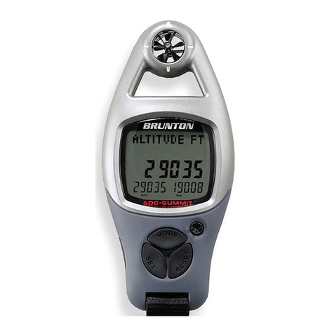
Brunton ADC Summit User manual

Brunton

Brunton ADC Summit User manual

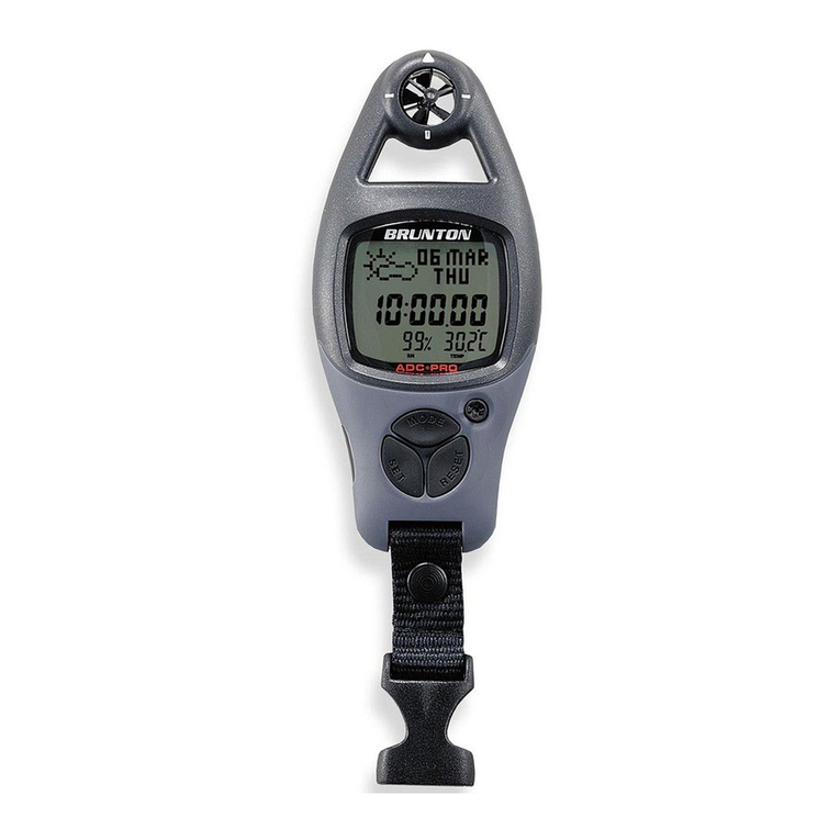
Brunton ADC Pro User manual

Brunton

Brunton ADC Pro User manual

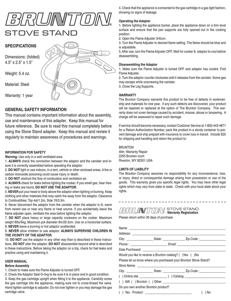
Brunton StoveStand 81-100695~22.5 User manual

Brunton

Brunton StoveStand 81-100695~22.5 User manual

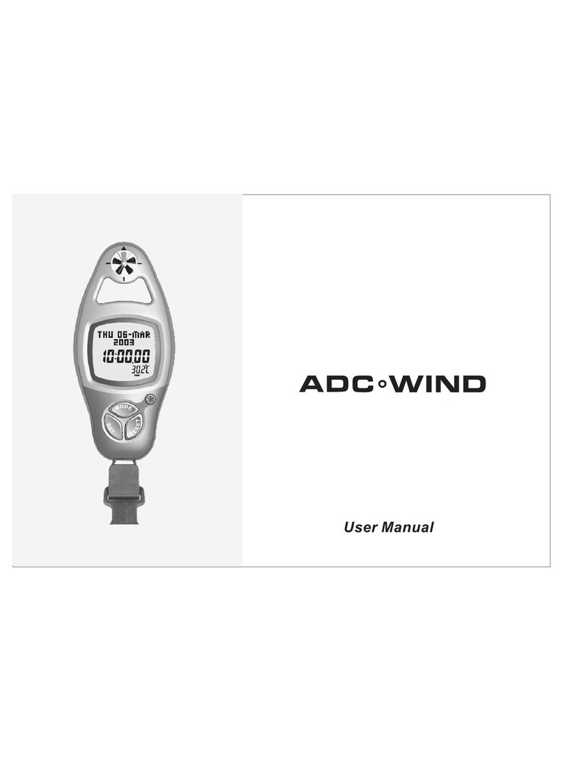
Brunton ADC Wind User manual

Brunton

Brunton ADC Wind User manual

Brunton HalfNote User manual

Brunton

Brunton HalfNote User manual

Brunton Bantam 81-100726 User manual

Brunton

Brunton Bantam 81-100726 User manual

Brunton Vesta 81-100727 User manual

Brunton

Brunton Vesta 81-100727 User manual

Popular Camping Equipment manuals by other brands

Summit SU85303 instructions

Summit

Summit SU85303 instructions

Fox Euro X manual

Fox

Fox Euro X manual

Rocktrail 79837 Instructions for use

Rocktrail

Rocktrail 79837 Instructions for use

Coleman LONG FLY SUNDOME 2000001106 installation instructions

Coleman

Coleman LONG FLY SUNDOME 2000001106 installation instructions

Crivit 296877 Instructions for use

Crivit

Crivit 296877 Instructions for use

Regatta ATLIN 6 manual

Regatta

Regatta ATLIN 6 manual

Yukatana 10028621 manual

Yukatana

Yukatana 10028621 manual

Zempire Bomberpad instructions

Zempire

Zempire Bomberpad instructions

Snow Peak Field Cooker Pro.1 Set instruction manual

Snow Peak

Snow Peak Field Cooker Pro.1 Set instruction manual

Quest Leisure Products Hampton Relax instructions

Quest Leisure Products

Quest Leisure Products Hampton Relax instructions

Quest Leisure Products Falcon AirShield 500 instructions

Quest Leisure Products

Quest Leisure Products Falcon AirShield 500 instructions

iKAMPER AirDown user manual

iKAMPER

iKAMPER AirDown user manual

ONE PLANET WURLEY Series instructions

ONE PLANET

ONE PLANET WURLEY Series instructions

Osprey AETHER 65 owner's manual

Osprey

Osprey AETHER 65 owner's manual

Hilleberg SOULO manual

Hilleberg

Hilleberg SOULO manual

AKSOUL 3806375 instructions

AKSOUL

AKSOUL 3806375 instructions

Clam Corp CLAM 5600 8201 instruction manual

Clam Corp

Clam Corp CLAM 5600 8201 instruction manual

Zempire EVO Series Pitching instructions

Zempire

Zempire EVO Series Pitching instructions

manuals.online logo
manuals.online logoBrands
  • About & Mission
  • Contact us
  • Privacy Policy
  • Terms and Conditions

Copyright 2025 Manuals.Online. All Rights Reserved.