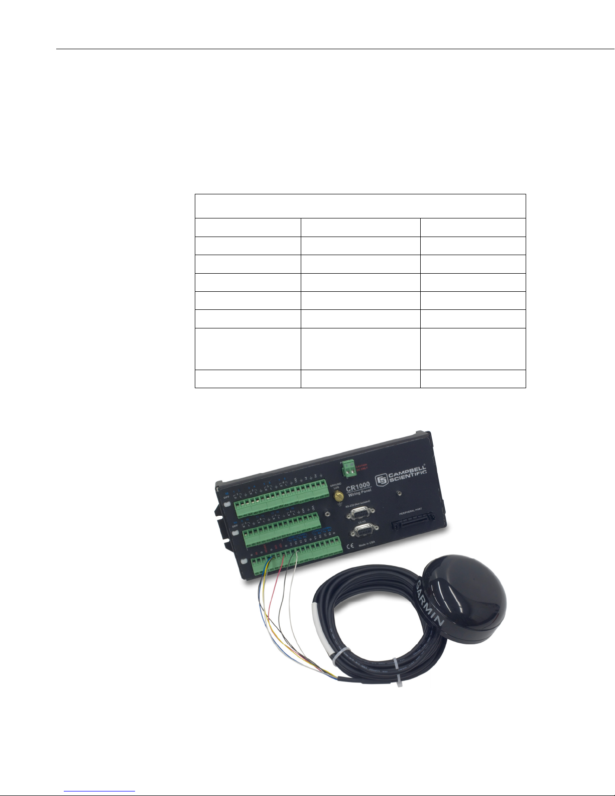
GPS16X-HVS GPS Receiver
Sample $GPGGA output strings:
Cold Start
No satellites acquired, Real Time Clock and Almanac invalid:
$GPGGA,,,,,,0,00,,,,,,,*66
Warm Start
No satellites acquired, time from Real Time Clock, almanac valid:
$GPGGA,235032.0,,,,,0,00,,,,,,,*7D
Warm Start
One satellite in use, time from GPS Real Time Clock (not GPS), no position:
$GPGGA,183806.0,,,,,0,01,,,,,,,*7D
Valid GPS Fix
Three satellites acquired, time and position valid:
$GPGGA,005322.0,4147.603,N,11150.978,W,1,03,11.9,00016,M,-
016,M,,*6E
If the almanac and ephemeris data are not stored in the non-volatile data, GPS
acquisition time is less than 5 minutes. If only the ephemeris data are
unknown, acquisition time is less than 45 seconds. If all data are known
(warm start), GPS acquisition time is less than 15 seconds.
4.2 $GPRMC Sentence (Position and Time)
Example (signal not acquired):
$GPRMC,235947.000,V,0000.0000,N,00000.0000,E,,,041299,,*1D
Example (signal acquired):
$GPRMC,092204.999,A,4250.5589,S,14718.5084,E,0.00,89.68,211200,,*25
Field Example Comments
Sentence ID $GPRMC
UTC Time 092204.999 hhmmss.sss
Status A A = Valid, V = Invalid
Latitude 4250.5589 ddmm.mmmm
N/S Indicator S N = North, S = South
Longitude 14718.5084 dddmm.mmmm
E/W Indicator E E = East, W = West
Speed over ground 0.00 Knots
Course over ground 0.00 Degrees
UTC Date 211200 DDMMYY
Magnetic variation Degrees
Magnetic variation E = East, W = West
Checksum *25
Terminator CR/LF
6