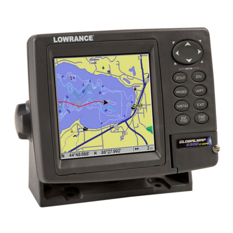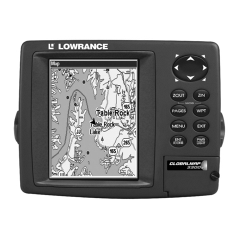
KEYBOARD
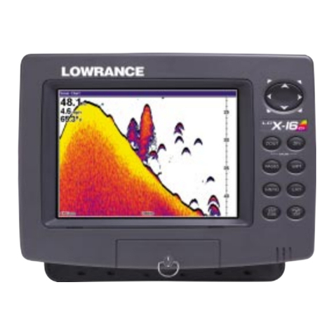
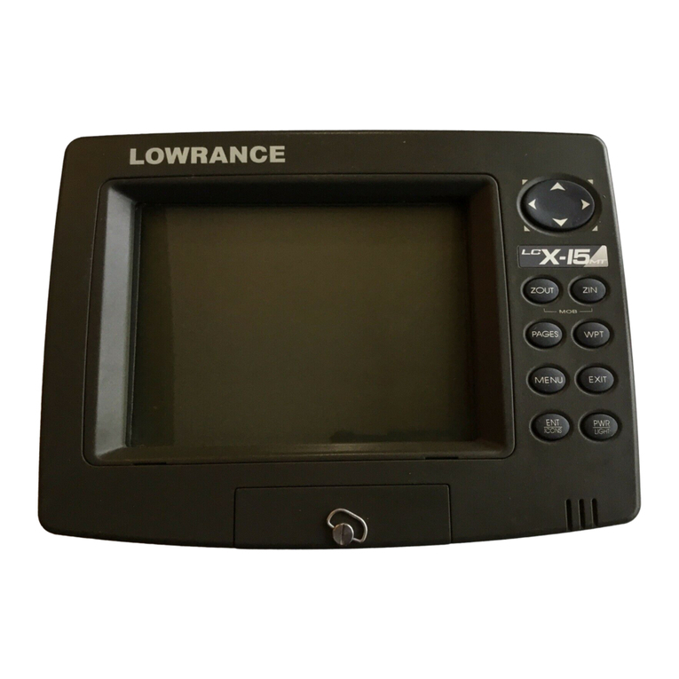
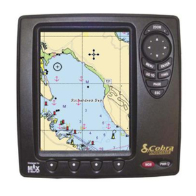
The keyboardhas keys arranged in twovertical columns.The
keys in the left column are used for Saving and recalling
waypoint&Thekeys
inthe
right
column
pertain
tothe
basicGPS
functions. The MENU key in the bottom right corner of the
keyboard
activatesthe
firstmenu page.
POS-Pressing
thiskeydisplays the Positionscreen.
PLOT-
ThisswitchestheGlobalNav intothe
plotter
mode.
NAV-Pressing
thiskeydisplaystheNavigation screen.
STEER
-Thisdisplays
theSteering
screen.
MENU - Press thiskeytoshowthemenus and gain accessto
otherfunctions.
ON-TheON keyturnstheGlobalNav on.
WAYPTQUICKSAVE
- Pressing this keyinstantly savesyour
present
position.
WAYPOINTSAVE - Thisfeaturegivesyou morewaypoint sav-
ingoptions.
MANOVERBOARD
Oneofboating's'most
terrifying events ishaving
afriend
orfamily
member falloverboard. Thissituationcanbedeadly
onanybody
of water, fresh or salt. It's particularly dangerous at night or if
you'reout of sight 01land. Of Oourse, the first thing to do is
remaincalm and try all standard safety measures to try and
rescue theperson. Ifyou lose sightoftheperson,you canuse
theGlobalNav toinitiate asearch
pattern.
Onceyou're back at the helm after initial rescue efforts have
failed, press the GlobalNav's Waypoint Quicksave key. This
instantly storesyour present position
in memory. Memorizethe
waypoint numberthat appears at the topofthescreen! Now
press theWaypoint
Recall
key. Pressthekey
nexttothe'Vest.
Waypt Num." near the bottom of the screen. A new menu
appears. Enterthewaypoint number that you just saved,then
press thekeyadjacenttothe"ENTER" label. This recalls the
waypoint youstored,causing
the GlobalNav to shownavigation
information backtothat waypoint. TheArrivalalarmwill sound
since you'rewithinft'sradius, eitherignore
itorpress
the
CLEAR
keytosilenceit.
Usingtheunit inthis manner lets you start a search patternfor
thevictimfromaknown location. Switching totheplotter
onthe
.05mile rangemakes iteasiertoseeyourposition
relativetothe
accident area.
Remember, savingthevictimistheprimarygoal. Try
alloptions
to rescuethe person immediately afterthe accidenthappens.
Training and education are also good accident preventatives.
TheCoastGuardhasexcellent safety
courses. Instruct allmem-
bers onboardyourboatonsafetyprocedures before leavingthe
dock. Makecertainall on boardknow what to do beforeany
emergency
occurs.
For more informationon saving and recallingwaypoints,see
"HowtoSaveaWaypoint" sectionin thismanual.
6 47
ED
ED
IWAYr C
_ C
OFFj ON
PDF compression, OCR, web-optimization with CVISION's PdfCompressor
