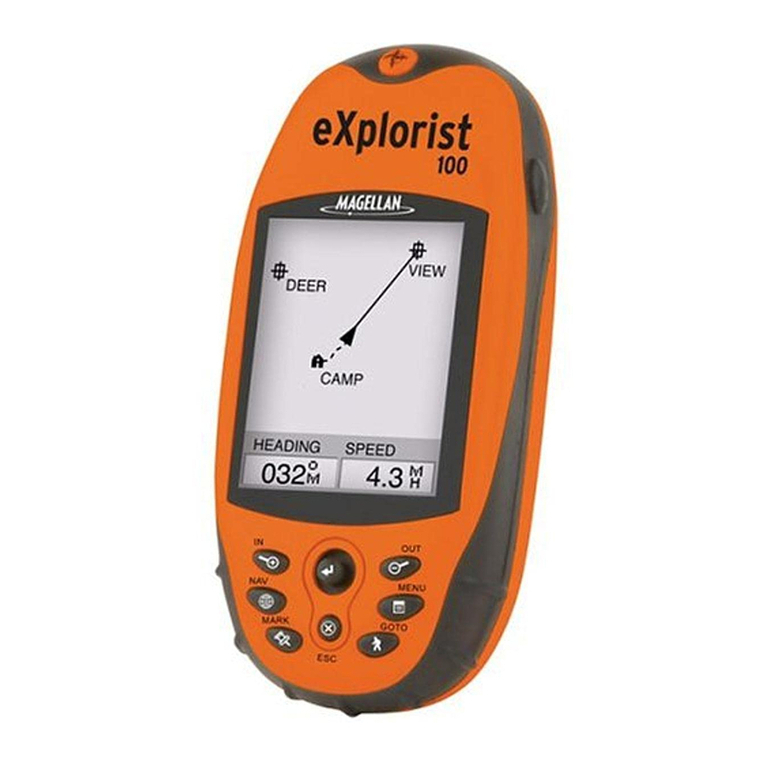
Garmin eTrex - Hiking GPS Receiver User guide
Other Garmin GPS manuals
Garmin
Garmin GNC 420W Installation and operating instructions
Garmin
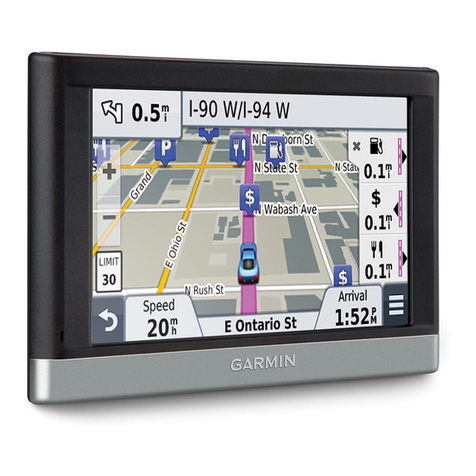
Garmin nuvi 2457LMT User manual

Garmin
Garmin inReach Mini User manual

Garmin
Garmin GPSMAP 8000 Series User manual
Garmin
Garmin Quest TM User manual
Garmin
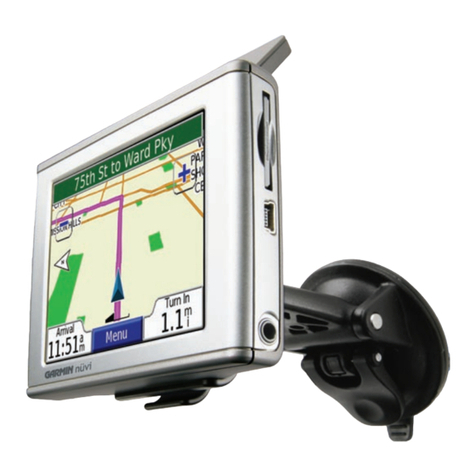
Garmin Oregon 300 User manual

Garmin
Garmin GNC 300 User manual
Garmin
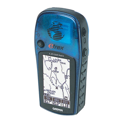
Garmin Etrex Legend - GPS Receiver User manual
Garmin
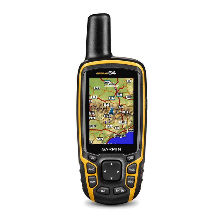
Garmin GPSMAP 64 Instruction manual

Garmin
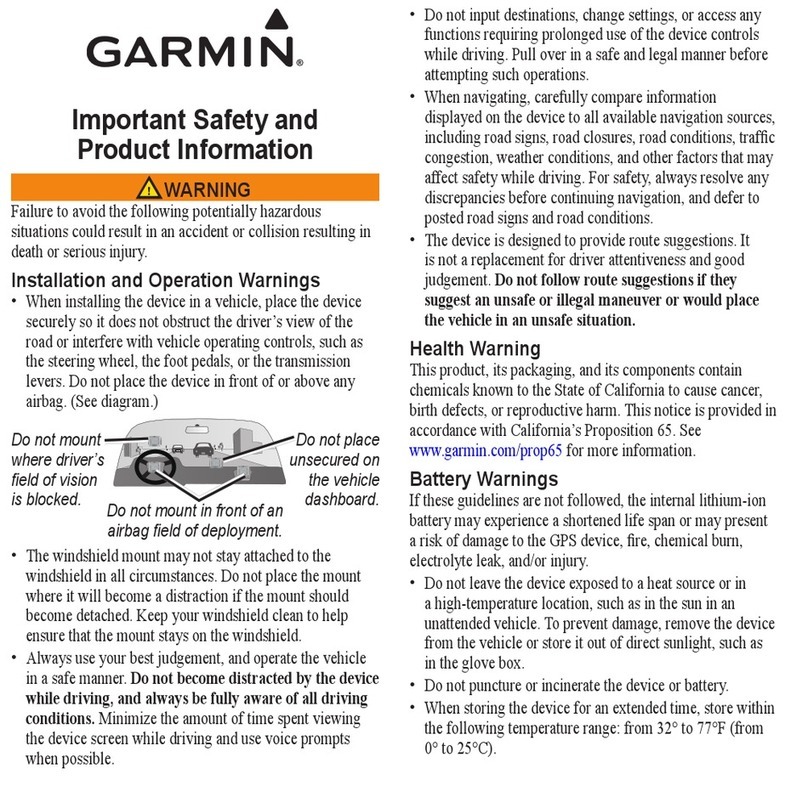
Garmin ETREX 22X User manual
Garmin
Garmin 010-00625-00 - Mobile - For BlackBerry User manual
Garmin
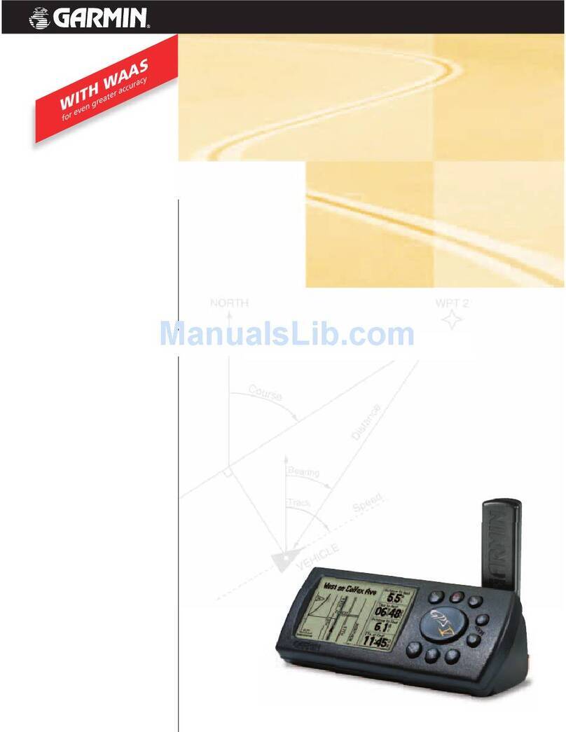
Garmin Apollo GX50 User manual
Garmin
Garmin V Deluxe User manual

Garmin
Garmin Approach G7 User manual

Garmin
Garmin GPSMAP GPSMAP 196 User manual
Garmin
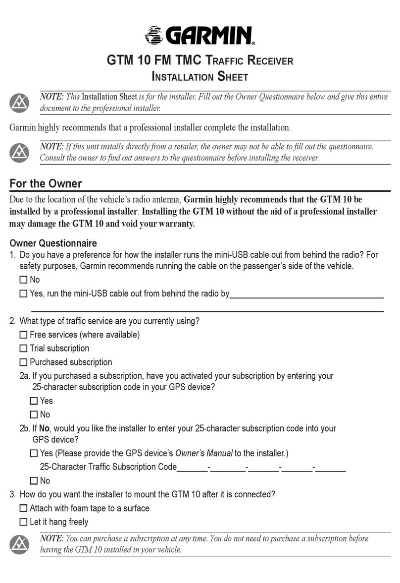
Garmin GTM 10 Assembly instructions

Garmin
Garmin DEZL OTR700 User manual
Garmin
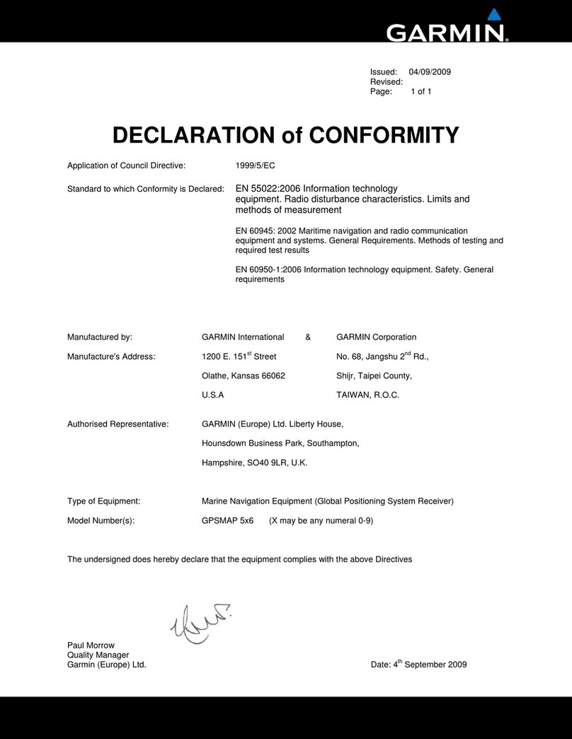
Garmin GPSMAP 527 Guide Reference guide

Garmin
Garmin Nuvi 205 Series User manual
Garmin
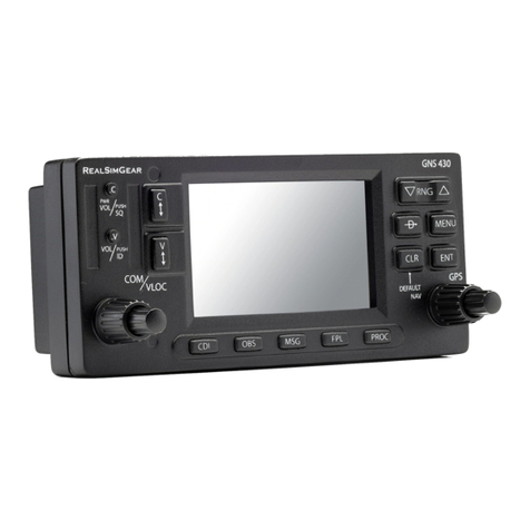
Garmin GNS 430 User manual
