1-2
We encourage you to read through this manual and experiment using the
built-insimulator. ThiswillhelpyouquicklymasterthepoweroftheGPS50.
1.2 OPERATIONS
You may use your GPS 50 for both portable and fixed operations. The unit
may be operated from external AC power using a battery charger, external
5-40 volt DC power using the power/data cable or cigarette lighter adapter,
or using a battery pack.
HandheldOperation:
Forhandheldoperation,theGPS50is poweredbyaAAbatterypackwhich
should be filled with four high quality alkaline batteries commonly found at
retailstores. Arechargeablenicadbatterypackisalsoavailableforhandheld
operation.
In order to track GPS satellites, the unit must be situated with the antenna
pointed straight up and should not be blocked by objects or people (signal
receptionthroughthinfabricsuchascanvasmaybeadequatebutdegraded).
A lanyard is provided to prevent accidental dropping of your GPS 50.
(Connect the lanyard to the eyelet on the back of the unit.)
FixedMountOperation:
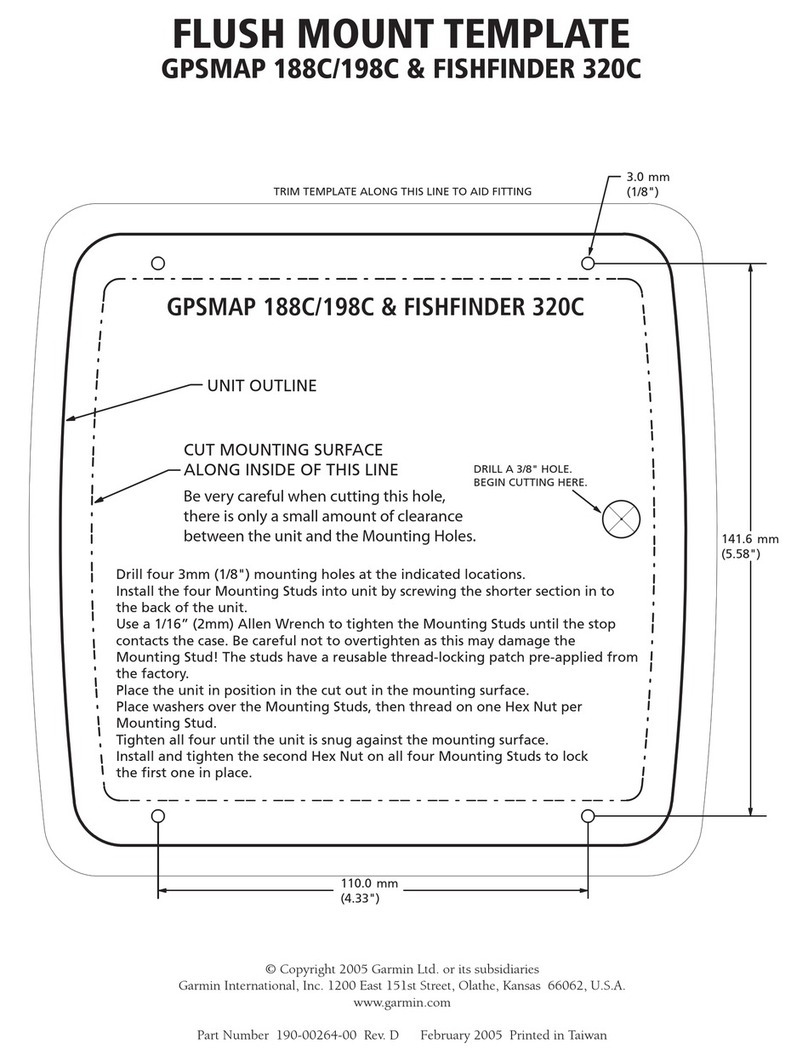
A universal mount is supplied for swivel or surface mount installation in a
boat. Theunitmaybeoperatedusingvehiclepowerthroughthepower/data
cable or it may be operated using the battery pack. While using vehicle
power, you may wish to leave the battery pack in the unit. In the event of
vehiclepowerfailure,theGPS50willautomaticallyswitchtobatterypower.
Inadditiontosupplyingpowertotheunit,thepower/datacableallowsyouto
interfaceyourGPS50withothermarineelectronicdevicessuchasplotters
orautopilots.
AMarine/RVRemoteAntennaisavailableforinstallationswhichrequirean
external antenna for an unobstructed view of the sky. This weather-proof
antennaincludes30feetoflow-lossantennacable. Theremoteantennahas
been constructed to thread onto a standard 1" antenna mount. Antenna
mounts,commonlyusedtoattachVHFradioantennasandLoran-Ccouplers,
are readily available from your local marine accessories dealer.
AMagneticMountAntennaisalsoavailableforattachingaremoteantenna
toametallicsurface. Thisweather-proofantennaincludes10feetoflow-loss
antenna cable. A cigarette lighter adapter cable may be used to power the
unitinvehicleapplications.
