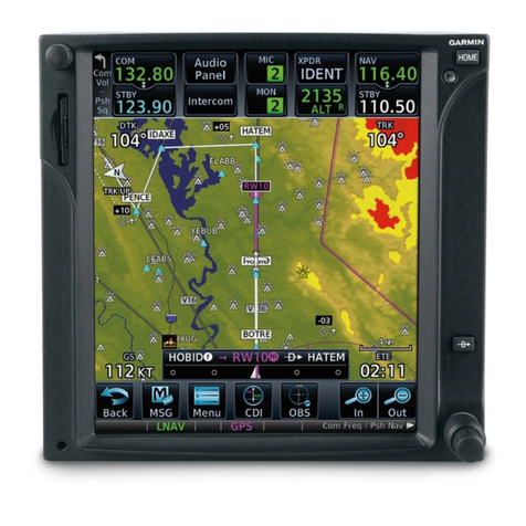
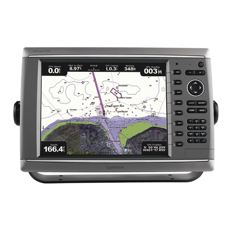
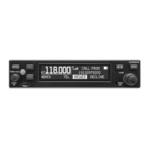
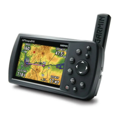
Garmin GPSMAP 695/696 Owner’s Manual
190-00919-00 Rev. E i
Table of Contents
Section 1 Overview ........................................................................................ 1
1.1 Unit Overview............................................................................................................1
Battery Care and Charging ................................................................................................... 2
Turning the Unit On/Off........................................................................................................ 4
GPS Receiver Status ............................................................................................................. 6
1.2 GPSMAP 695/696 Controls........................................................................................8
1.3 Accessing System Functionality.............................................................................10
Menus ............................................................................................................................... 10
Data Entry.......................................................................................................................... 11
Pages................................................................................................................................. 13
Main Page Softkeys ............................................................................................................ 18
Flight Planning Softkeys...................................................................................................... 22
Nearest Page Softkeys ........................................................................................................ 23
1.4 System Settings ......................................................................................................24
Display............................................................................................................................... 25
Sound................................................................................................................................ 27
Units.................................................................................................................................. 28
Date & Time ....................................................................................................................... 29
Position.............................................................................................................................. 29
Interface ............................................................................................................................ 30
Alarms............................................................................................................................... 30
Power ................................................................................................................................ 31
Setting Airport Criteria........................................................................................................ 32
Utilities .............................................................................................................................. 33
Section 2 GPS Navigation............................................................................ 35
2.1 Introduction.............................................................................................................35
Data Bar Fields................................................................................................................... 36
Compass Arc...................................................................................................................... 38
2.2 Panel.........................................................................................................................40
Changing the CDI Scale...................................................................................................... 41
Setting the Bug Indicator.................................................................................................... 42
Manually Setting a Course.................................................................................................. 42
2.3 Vertical Navigation (VNAV) ....................................................................................43
Using the VNAV Feature ..................................................................................................... 44
2.4 Using Map Displays.................................................................................................46
Map Orientation................................................................................................................. 47
Map Range........................................................................................................................ 48
Map Panning ..................................................................................................................... 49
Measuring Bearing and Distance ........................................................................................ 51
Topography........................................................................................................................ 52
Satellite View ..................................................................................................................... 53
Map Symbols ..................................................................................................................... 54