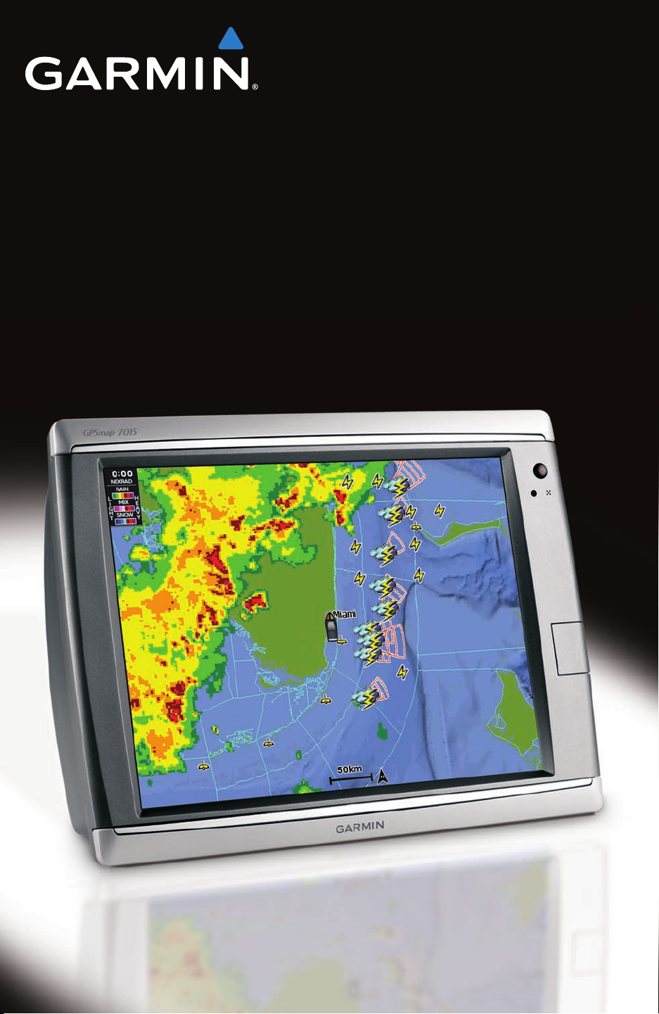
XM WX Satellite Weather
®
and XM
®
Satellite Radio Supplement 1
XM WX Satellite Weather and XM Satellite Radio
XM WX Satellite Weather and XM Satellite Radio
XM WX Satellite Weather
A Garmin XM satellite weather receiver and antenna receives XM WX Satellite Weather data and
shows it on various Garmin devices, including the Navigation chart on a chartplotter. The weather
data for each feature comes from reputable weather data centers such as the National Weather
Service and the Hydrometerological Prediction Center. For more information, see the XM WX
Satellite Weather Web site at www.xmwxweather.com.
NOTE: To view XM WX Satellite Weather information, you must have a subscription to XM
WX Satellite Weather, and you must have a Garmin XM satellite weather receiver connected to a
chartplotter.
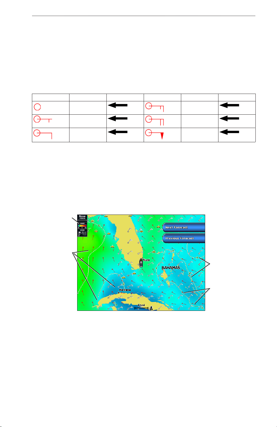
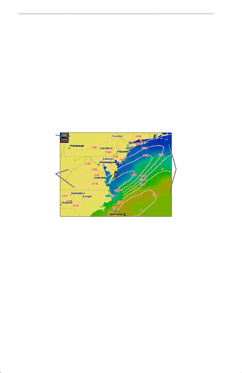
XM WX Satellite Weather Data Broadcasts
XM WX Satellite Weather data is broadcast at set rates. For example, NEXRAD (NEXt Generation
Weather RADar) data is broadcast at ve-minute intervals. When the Garmin receiver is turned on,
or when a new feature is selected, the receiver has to receive new data before it can be shown. You
might experience a delay before weather data or a new feature appears on the map.
NOTE: Any weather feature can change in appearance or interpretation if the source that provides
the information changes.
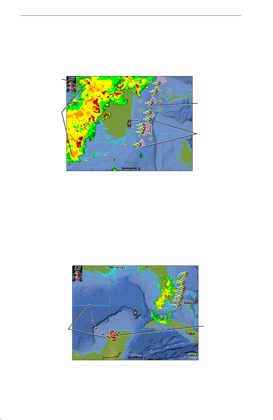
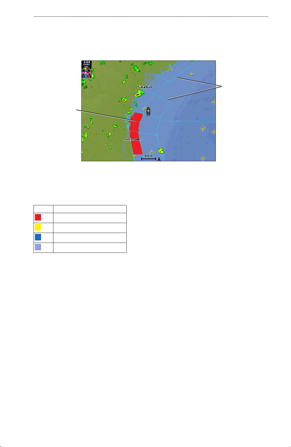
Viewing NEXRAD Precipitation Information
The precipitation screen shows NEXRAD radar, storm cells, lighting strikes, and hurricane
warnings. NEXRAD shows precipitation ranging from very light rain and snow, up to strong
thunderstorms, in varying shades and colors. The time stamp in the upper-left corner of the
screen indicates the elapsed time since the National Weather Service last updated the information.
NEXRAD is shown either independently or with a variety of other weather information.
From the Home screen, select Weather > Precipitation.
Showing an Animated NEXRAD Loop
You can view NEXRAD information as an image of the latest update or as an animated loop of the
latest updates.
From the Home screen, select Weather > Precipitation > Menu > NEXRAD Loop > On.
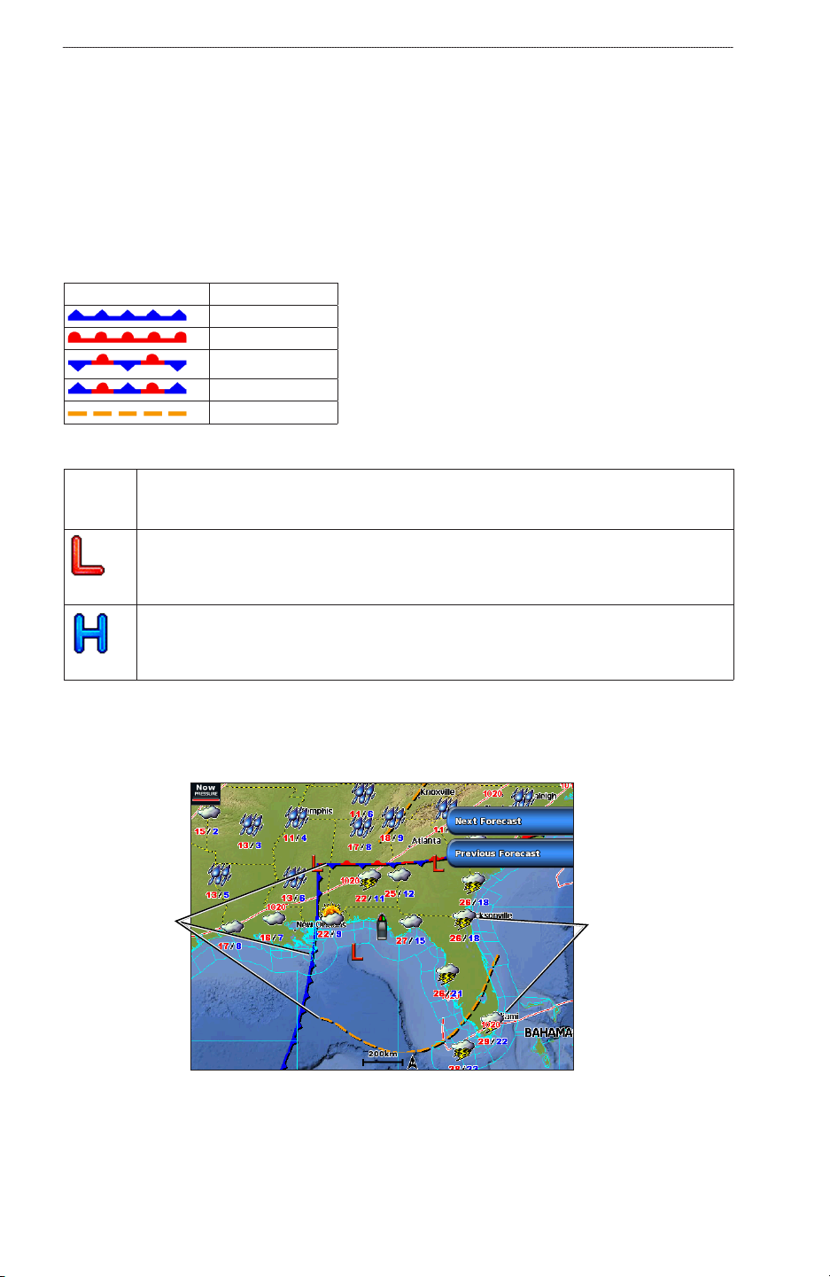
Showing Cloud Cover
From the Home screen, select Weather > Precipitation > Menu > Cloud Cover > Show.