________________________________________________________________________________________________________GPG
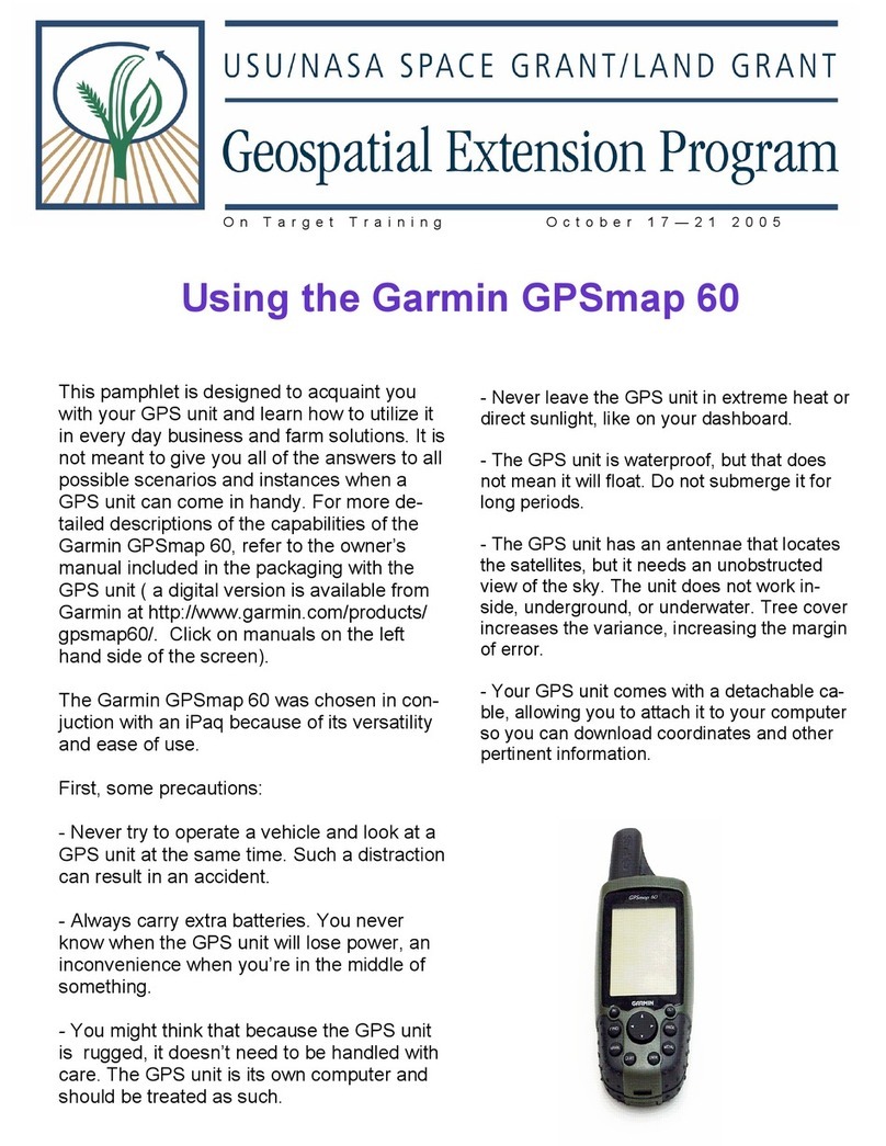
GPSMAP 64s Configuration Standard / GSAR / 2019/12/12
Draft 6
Pressure – Millibars
9. Press “page” > “main menu” > “setup” > “enter”and scroll to “page sequence”.
Remove “elevation plot” by pressing “enter”
Add “satellite” (press “add page” and scroll to “satellite”, press “enter”
Change sequence to Satellite, Trip Computer, Map, Compass, Main Menu. (you can “move”,
“insert” and “remove” within this menu by pressing “enter” on each). When item is highlighted
red, move it to its correct position with arrow key and press “enter”.
10. Press “page” > “main menu” > “setup” > “enter” and scroll to “heading” and press “enter”
Display – Numeric Degrees (select “enter” and scroll to select)
North Reference – Magnetic
Go to Line – Bearing (Large)
Compass – Auto
Calibrate Compass
11. Press “page” > “main menu” > “setup” > “enter” and scroll to “routing” and press “enter”
Activity – Direct Routing
Route Transitions – Auto
Lock on Road – No
12. Press “quit” (back button) twice, choose “setup” > “enter” then scroll to “map” > “enter”.
Orientation – Track Up
Guidance Text – When Navigating
Data Fields – 2 Small
Advanced Map Setup – (Text Size, Zoom, etc.)
Map Information – Select Map
13. Select “page” > “compass” > “menu” and scroll to “change dashboard”. Press “enter” and scroll
down to “small data fields” and press “enter”.
14. Select “page” > “compass” > “menu” and scroll to “change data fields”. Press “enter” and note
“field one” will be highlighted, then press enter again. Scroll to “bearing”. Repeat sequence to
change each field as follows:
Field one – Bearing
Field two – Distance to Destination
Field three – Location (selected)
Field four – Off Course
15. Select “page” > “Trip Computer” > “menu” and scroll to “change dashboard”. Press “enter” and
scroll down to “Large Data Fields” and press “enter”. Press “menu” again, select “big numbers” and
press “enter”. Press “menu” and select “change data fields” and press “enter”. Press “enter” again
to choose fields highlighted in blue as follows: (This is done three times - once for each field)
Field one – Distance to Destination
Field two – Bearing
Field Three – Location (selected)
► Note: Ozi Explorer mapping software must be configured for interface with the new GPSMAP 64s
units. Open OZI and choose File > Configuration. Ensure “GPS Make” remains set to “Garmin.
Change “GPS Model” to “62/s/st”. Change “GPS Symbol Set” to Garmin 60.
