190-02177-00 Rev. A
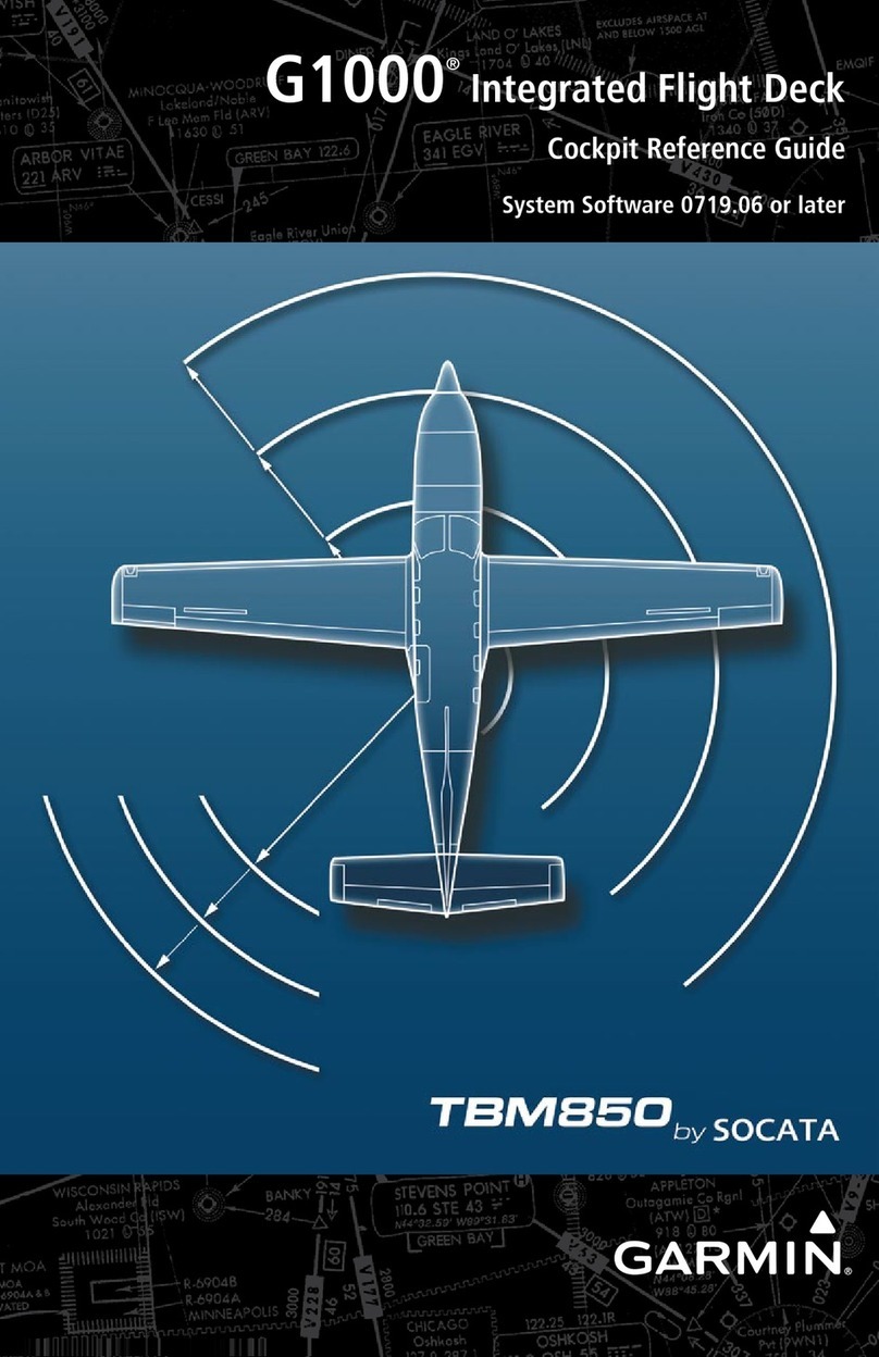
Garmin G1000 NXi Pilot’s Guide for the Cessna Nav III
Copyright © 2017 Garmin Ltd. or its subsidiaries. All rights reserved.
This manual reflects the operation of System Software version 2501.00 or later for Cessna 172R, 172S, 182T, J182T, T182T, 206H, and
T206H aircraft. Some differences in operation may be observed when comparing the information in this manual to earlier or later software
versions.
NOTE: Cessna Nav III aircraft include the Cessna 172R, the Cessna 172S, the normally aspirated Cessna 182 (182),
the turbocharged Cessna 182 (T182), the normally aspirated Cessna 206 (206), and the turbocharged Cessna 206
(T206). Unless otherwise indicated, information in the G1000 Cockpit Reference Guide pertains to all Cessna Nav
III aircraft.
Garmin International, Inc.
1200 East 151st Street
Olathe, Kansas 66062, U.S.A.
Tel: 913.397.8200
Fax: 913.397.8282
Aircraft On Ground (AOG) Hotline: 913.397.0836
Aviation Dealer Technical Support: 888.606.5482
Garmin (Europe) Ltd.
Liberty House, Hounsdown Business Park
Southampton, Hampshire SO40 9LR U.K.
Tel: +44 (0) 238 052 4000
Fax: +44 (0) 238 052 4004
Aviation Support: +44 (0) 370 850 1243
Garmin AT, Inc.
2345 Turner Road SE
Salem, OR 97302, U.S.A.
Tel: 503.581.8101
Fax 503.364.2138
Garmin Corporation
No. 68, Zhangshu 2nd Road
Xizhi District, New Taipei City, Taiwan
Tel: 34-93-357-2608
Fax: 34-93-429-4484
Website Address: www.garmin.com
Except as expressly provided herein, no part of this manual may be reproduced, copied, transmitted, disseminated, downloaded or stored
in any storage medium, for any purpose without the express written permission of Garmin. Garmin hereby grants permission to download
a single copy of this manual and of any revision to this manual onto a hard drive or other electronic storage medium to be viewed for
personal use, provided that such electronic or printed copy of this manual or revision must contain the complete text of this copyright notice
and provided further that any unauthorized commercial distribution of this manual or any revision hereto is strictly prohibited.
Garmin®, G1000®NXi, FliteCharts®, and SafeTaxi®are registered trademarks of Garmin International, Inc. or its subsidiaries. Garmin
SVT™is a trademark of Garmin International, Inc. or its subsidiaries. These trademarks may not be used without the express permission
of Garmin.
Stormscope®is registered trademarks of L-3 Communications. CO Guardian is a trademark of CO Guardian, Inc. AC-U-KWIK®is a
registered trademark of Penton Business Media Inc. Bendix/King®and Honeywell®are registered trademarks of Honeywell International,
Inc. NavData®is a registered trademark of Jeppesen, Inc.; Wi-Fi®is a registered trademark of the Wi-Fi Alliance. SiriusXM Weather and
SiriusXM Satellite Radio are provided by SiriusXM Satellite Radio, Inc.
AOPA Membership Publications, Inc. and its related organizations (hereinafter collectively “AOPA”) expressly disclaim all warranties,
with respect to the AOPA information included in this data, express or implied, including, but not limited to, the implied warranties
of merchantability and fitness for a particular purpose. The information is provided “as is” and AOPA does not warrant or make any
representations regarding its accuracy, reliability, or otherwise. Under no circumstances including negligence, shall AOPA be liable for any
incidental, special or consequential damages that result from the use or inability to use the software or related documentation, even if
AOPA or an AOPA authorized representative has been advised of the possibility of such damages. User agrees not to sue AOPA and, to
the maximum extent allowed by law, to release and hold harmless AOPA from any causes of action, claims or losses related to any actual
or alleged inaccuracies in the information. Some jurisdictions do not allow the limitation or exclusion of implied warranties or liability for
incidental or consequential damages so the above limitations or exclusions may not apply to you.
