Hi-Target GPS Qcool Series Instruction manual

QcoolIntelligent HandledGPS
1
Hi-TargetQcoolQuickStartManual

QcoolIntelligent HandledGPS
2
Manualuse
WelcometouseQcoolseriesintelligenthandheldGPS.ThismanualappliestoQcool,this
manual introduceshowtoinstall,setupanduseintelligenthandheld GPS.
Manualintroduction
Thismanual introduce thathowtosetupandusethisQcoolseriesintelligenthandheld GPS.
Experiencedemanded
Inorder toyoucanbetteruseQcoolseriesintelligenthandheld GPS.
HI-TARGETsuggestyouhaveacertain measureknowledge,andcarefullyreadtheinstruction.
Ifyouhaveanyquestions, pleaserefer totheofficial websiteoftheHI-TARGET:<
http://www.hi-target.com/ >.
Safety technicalnote
Note:payattentiontotip thecontentgeneralisoperationspecialplace,need
to bring your specialattention, pleaseread
Warning:thewarningcontentisgeneralvery importanttip,ifnotinwarning
operatewithinthetip,you will causethedamageoftheinstrument,theloss ofthe
data,andthecollapseofthesystem,even endanger thesecurityofperson.
Note:Thegrantee isnotresponsibleforanychanges ormodificationsnot
expresslyapprovedbytheparty responsibleforcompliance.Such
modificationscouldvoidtheuser sauthority to operatetheequipment.
NOTE:Thisequipmenthasbeentestedand found to complywiththelimitsfora
Class Bdigitaldevice,pursuanttopart15 oftheFCCRules.These limitsare
designedtoprovidereasonableprotectionagainstharmfulinterferenceina
residentialinstallation. Thisequipmentgenerates,uses and canradiateradio
frequencyenergy and,ifnot installedandusedinaccordancewiththeinstructions,

QcoolIntelligent HandledGPS
3
may cause harmfulinterferencetoradiocommunications.However,thereisno
guaranteethatinterferencewill notoccurinaparticularinstallation.Ifthis
equipmentdoescauseharmfulinterferenceto radioortelevisionreception,which
canbedeterminedbyturningtheequipmentoffandon,theuserisencouragedto
try tocorrecttheinterferenceby oneormoreofthefollowingmeasures:
-Reorientorrelocatethereceivingantenna.
-Increasetheseparationbetweentheequipment andreceiver.
-Connecttheequipmentintoanoutletonacircuitdifferentfromthatto whichthe
receiverisconnected.
-Consultthedealeroranexperiencedradio/TVtechnicianforhelp.
FCC ID:O39ZHDQCOOL
This devicecomplieswith Part15oftheFCCRules.Operationissubject
tothefollowingtwo conditions:(1)thisdevicemay notcauseharmful
interference, and(2)thisdevicemustaccept anyinterferencereceived,
includinginterference thatmay causeundesiredoperation.
InternationalLimitedWarranty, SoftwareLicence
Agreement
You mustnotinstallorusethesoftwareunless youhavereadandacceptedthetermsand
conditionsoftheHI-TARGETsoftwareLicence Agreement.Installationoruseofthesoftware or
anypartthereof,isdeemedtobe anacceptanceofall thetermsandconditionsofsuchLicence
Agreement.
Responsibilityabsolution
Beforeyouusetheproduct,you should read theintroductioncarefully.GuangzhouHI-TARGET
surveyingandmappinginstrumentsCo.,LTD.Wewillnottaketheresponsibilityifyounot
operate withintheproductinstruction
GuangzhouHI-TARGET surveyingandmappinginstrumentsCo.,LTD.Iscommittedto
continuouslyimproveproduct functionandperformance,improvetheservice quality,andkeep
therighttochangethecontentoftheinstruction withoutnotice inadvance.
Wehavetoprintdescribed inthecontentandtheconsistency ofthehardware andsoftware to
doaninspection,butdon'trule outthepossibilityofbias, thepictureintheinstructionforuse
forreference only,ifyouhaveaproductwithdiscrepancies,pleaseusetheproductkindprevail.

QcoolIntelligent HandledGPS
4
Technology andservice
HI-TARGEThaveset upthe technologyandservice”section,ifyouhaveproblemsyousettle
themthroughthe"service guide"telephonecontactregionaltechnologycenter,headquarters
divisionorthroughthe"expertsonthejudgmentseat,""technologyBBS"message,wewill
answer yourquestionsin time.
Relatedinformation
You can findtheinstructionsthrough thefollowingmethods:
1,、purchasedproductsfrom theHI-TARGETwill with aCD,opentheCD andyoucanfind
theinstruction;
2、landtheofficial websiteoftheHI_TARGET,through"downloadedzone"-"product
specifications"and" GISproduct "andyoucanit.
Yoursuggestion
IfyouhaveanySuggestionsandopinionsabouttheintroduction,pleasevisit theofficial
website oftheHI-TARGET,andleavemassagein"technicalservice"and"adviceand
complaint"edition,yourfeedbackonthequalityoftheinformationwewill begreatlyimproved.

QcoolIntelligent HandledGPS
5
Device
DeviceOverview
Battery Information
Software
Select /customizecoordinatesystem / datum
Dictionary
Newbuildaproject
Import backgroundimage
RecordPoint /Line/Area
Exportdata

QcoolIntelligent HandledGPS
6
Device
DeviceOverview
Whenusingyourdevicefor the firsttime,youshouldcomplete these taskstoset
upthedevice and gettoknowthebasicfeatures.
Battery information
Youcanusealkaline,MiMH,orlithium batteries. UseNiMHorlithiumbatteriesforthebest
result.ThedeviceoperatesontwoAA batteries.
○
2 ○
3
○
5
○
4
Upkey
○2Downkey
○3StorageCardandUSBPort
○4OKkey
○
5
PowerandBacklightkey

QcoolIntelligent HandledGPS
7
Software
StartQcoolsoftware, maincontactinterface presents.
Beforegoingoutfor fieldoperation,please followbelowprocedurestepbystep.
InQcoolsoftware,Fieldoperationprocedure ispresentedasbelow:
ØSelect/Edictcoordinatesystem
ØOpen/Newbuildadictionary
○
6
○
7
Alkalinebatterieslosea
significantamountoftheir
capacity astemperature
decreases. Therefore,use
lithiumbatterieswhenoperating
thedevice inbelow-freezing
conditions
○6Rearcoverscrew
○7Battery
NOTICE

QcoolIntelligent HandledGPS
8
ØNew buildaproject
ØImportbackgroundimage
ØCollectPoint /Line/Area
ØDatadownload

QcoolIntelligent HandledGPS
9
1. Select/Edictcoordinate system
Beforefieldoperation,yourowncoordinatesystemisneeded,by
clicking toselect/edictcoordinate system.
YoucaneditEllipsoid,Projection,andCentralMeridian.
Whenfinished,click toconfirm.

QcoolIntelligent HandledGPS
10
2. Open/Newbuildadictionary
Dictionaryisusedtorecordattribute.Byclicking youcannewbuild
dictionaryor customizetheattributeaccordingto your fieldoperationneeds.
All thefeaturesaredescribedbypoint,lineorarea.Forexample, treesshould
berecordedas point,roadsshouldberecorded asline, andbuildingsshouldbe
recorded as area.
3. Newbuildaproject
Whencoordinateand dictionaryarebothready,youcanstartyouprojectnow.
Remembertoclick to confirm.

QcoolIntelligent HandledGPS
11
4. Importbackground image
Maporbackgroundimagecan beimportedinto programtogetmore artistic
interface.
Click to enter mapinterface.
Click to add yourmap.
Therearetwotypeofformatformap,*.zmpfilecanbecreatedbyHi-Target
Hi-NetServersoftware.
Everysignalpointon *.zmpmaphasacoordinate,withthismap,Qcoolwill
showwhere you are and whatthearea is.

QcoolIntelligent HandledGPS
12
5. CollectPoint/Line /Area
Mainfunction ofQcoolistorecordtheobjects with coordinatesandattributes.
Notice:whenrecording,firstrecordcoordinate,thenattribute.
CollectPoint
Click to enter CollectPoint”interface.Here youcansee yourcurrent
positionwithcoordinate.
Firstclick torecordcoordinate,thenclick
torecord attribute.

QcoolIntelligent HandledGPS
13
Whenrecordingcoordinate, you canmanuallyclick orautomatically
recordingbydistanceor time.
Forattributes,youcan click foreverysingle pointor
afterrecordingseveralcoordinatesthenclick towrite
thesameattributetothosepoints.
Afterwritingattributes,click to confirm.
CollectLine
Click toenter CollectLine”interface.Hereshowsyourcurrent
positionwithcoordinate.
Atleast twopointswillmakealine, whichmeansyoushouldfirstrecordat
leasttwopointswithcoordinate,thenclick towrite
attribute.
Alsowhenrecordingcoordinate, youcanmanuallyor automaticallyoperate.
Afterwritingattributes,click to confirm.

QcoolIntelligent HandledGPS
14
CollectArea
Click toenter CollectArea”interface.Hereshowsyourcurrent
positionwithcoordinate.
Atleastthreepoints willmakearea,whichmeans youshouldfirstrecordat
leastthree points with coordinate, thenclick towrite
attribute.
Tips:Save yourdatabyclicking .
6. Datadownload
Inorder toconnecttoyourPC,Microsoft ActiveSyncisneedon WindowsXP;
WindowsMobileDeviceCenterisneedonWindows7operatingsystem.After
softwarebeeninstalled,nextstepistoinstall driver.
Allyour datashouldbestoredinNandFlash,Otherwiseitwillnotbestoredafter
yourestartthe device.
Whenfinishedfieldoperation,datacan bedownloaded toPCforpost-processing.
Hi-TargetHi-NetServersoftwareisthepost-processingsoftwarewhichcanprocess
fielddataandexportdifferentformatdata(DXF, SHP, MIF,CSV, txt).
Table of contents
Other Hi-Target GPS GPS manuals
Popular GPS manuals by other brands
Directed Electronics
Directed Electronics NAV350 owner's guide
Stanley
Stanley Kisses user manual

Prestigio
Prestigio GeoVision 5050 user manual

Navman
Navman EZY15/45 MY80T/85XLT/90XLT user manual
Jimi
Jimi JM01 user manual
Hemisphere GPS
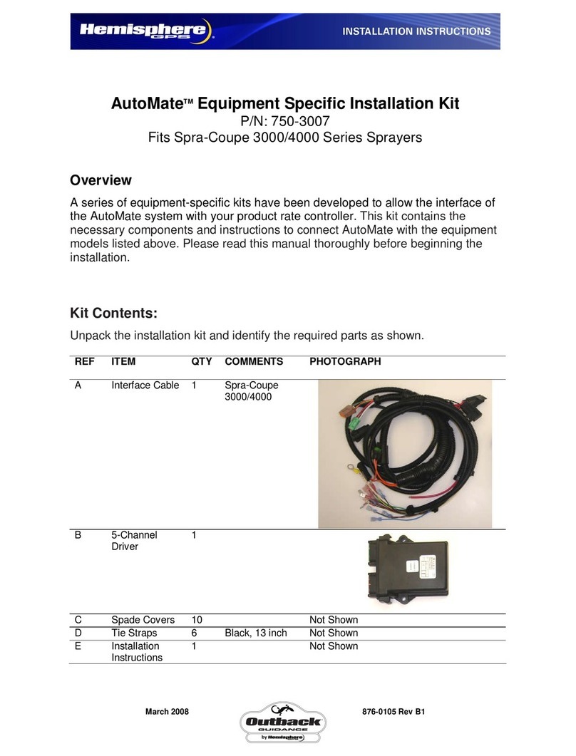
Hemisphere GPS Outback GUIDANCE AutoMate 750-3007 installation instructions
