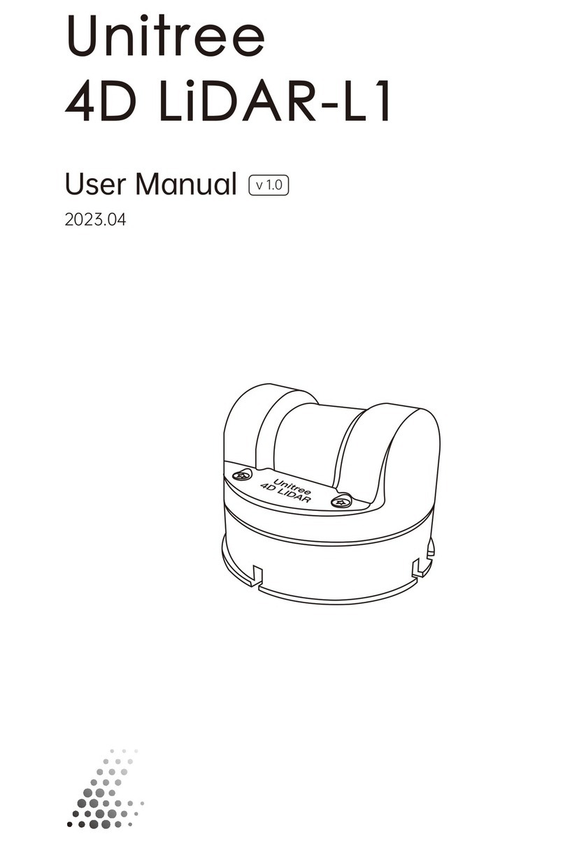
Unitree 4D LiDAR-L1 User manual

Unitree
4D LiDAR-L1
Quick Start Guide
2023.04
v 1.0

Disclaimer
This product is not suitable for individuals under 16 years old. Please do not let children come into
contact with this product, and be extra careful when operating in scenarios where children are pres-
ent.
You should read the entire user manual and become familiar with the product's functions before op-
erating it, while also following any relevant national and international safety regulations. This prod-
uct is a laser radar ranging instrument that provides 3D laser scanning functionality when the
power is working properly and all components are undamaged. This statement has an important
impact on the safe use of this product and your legal rights and interests. Please read it carefully to
understand your legal rights, responsibilities, and safety instructions. Failure to do so may result in
property damage, safety accidents, and personal safety hazards.
The final interpretation of this document and all related documents of Unitree 4D LiDAR-L1 belongs
to Unitree Technology. If there are updates, they will not be notified separately. Please visit the offi-
cial website https://www.unitree.com to obtain the complete "Unitree 4D LiDAR-L1 User Manual",
the latest instructions, and warnings. Hangzhou Unitree Technology Co., Ltd. (hereinafter referred to
as "Unitree Technology") reserves the right to update all documents.
Once you use this product, it is deemed that you have understood, recognized, and accepted all the
terms and contents of this statement. You promise to take full responsibility for using this product
and any possible consequences that may arise. You promise to use this product for legitimate pur-
poses only and agree to this clause and any relevant policies or guidelines that Unitree Technology
may develop.
Unitree Technology assumes no responsibility for any losses caused by users not using the product
according to this document. Users should follow all safety guidelines mentioned in this document,
including but not limited to them.
Warning
In the case of poor air visibility (such as haze, heavy rain weather), the effective detection
range of L1 will be reduced. Please be extra careful when using it. In good air visibility condi-
tions, please refer to the parameter list for the effective detection range of L1.
Please make sure to install L1 on a thermally conductive metal plate such as aluminum alloy,
and reserve a space of no less than 10mm around it to prevent poor air flow and affect heat
dissipation.
Do not touch the optical window of L1 with your hands. If there are stains or dust on the L1
window, please use a lens cleaning cloth to clean it (please refer to the "Unitree 4D LiDAR-L1
User Manual" for specific cleaning methods) to avoid affecting the performance of the product.
1.
2.
3.

To reduce the risk of electric shock and possible radiation hazards, do not disassemble or
modify this product without authorization. This product does not include user-repairable parts.
If after-sales service is needed, please contact Unitree Technology.
L1 meets the safety requirements of Class 1 laser products (IEC/EN 60825-1:2014) and can be
safely used under normal conditions.
Damage caused by liquids is not covered by the warranty. When the usage scenario requires
waterproofing, please use a waterproof protective bracket to prevent damage to L1 (please
refer to the "Unitree 4D LiDAR-L1 User Manual" for examples of using waterproof protective
brackets).
When debugging L1, please be sure to place the L1 radar on the included rubber pad and place
the rubber pad on a level table to ensure stable operation of the radar.
Do not drop L1 to avoid unnecessary damage.
4.
5.
6.
7.
8.

34
Inventory
Introduction
Unitree 4D LiDAR-L1 is a high-performance, cost-effective, and safe 4D laser radar (3D position + 1D
grayscale). It has the ability to achieve high-speed laser ranging sampling at a rate of 21,600 times
per second and can be widely used in robotics, smart cities, intelligent toys, logistics and other
fields. It supports functions such as mapping, positioning, recognition, obstacle avoidance, environ-
ment scanning, and 3D reconstruction. The L1 radar can detect objects as close as 0.05 meters and
up to a maximum distance of 30 meters (with 90% reflectivity). The L1 radar has a 360*90 ° hemi-
spherical ultra-wide-angle scanning capability, providing a higher point cloud coverage rate and
stronger adaptability. Users can obtain real-time 3D point cloud images through the Unilidar soft-
ware and develop based on the SDK to easily obtain 3D point cloud data to meet personalized ap-
plication needs.
Unitree 4D LiDAR-L1 x 1
Hexagonal L-shaped wrench x 1 Screw package (M3) x 1
Rubber pad x 1Adapter Module x 1 Adapter module x 1
Data cable x 1
Unitree
1
2
Optical window
Exit port
Locator slot
M3 mounting hole
1.
2.
3.
4.

Installation and Wiring
Effective Field of View (FOV) Range
The FOV of the Unitree 4D LiDAR-L1 is 360° horizontally and 90° vertically, allowing for detection in
a 360 ° three-dimensional space above the radar, as shown in the figure below. When installing the
device, please be aware of the effective range of the FOV to avoid obstructing the FOV area.
Please note that the point cloud density of the L1 varies in different FOV areas, with higher point
cloud density closer to the center. Please refer to the figure below for reference.
[1]For more detailed information, please refer to the "Unitree 4D LiDAR-L1 User Manual".
[1]
Effective FOV Range of L1
Horizontal Direction Vertical Direction
360°
90°
Point Cloud Density in Different FOV Areas of L1

Installing L1
Interface Definition
Please install L1 in the appropriate position according to the size of L1 and the dimensions of the mounting holes
as shown in the diagram below. TheCartesian coordinate systemof L1, denoted as 0-XYZ, is defined as shown in
the diagram below. O is the origin of thepoint cloud coordinatesystem, located at the bottom center position, with
the +X axis pointing in the opposite direction of the outlet, and the +Y axis pointing counterclockwise 90 ° from the
+X axis. O-XYZ is thepoint cloud coordinate systemof L1(The origin andXYZ coordinate systemof the IMU can be
found in theL1 3D model, and itsXYZ axesare parallel to thepoint cloud coordinatesystem.)
The output line of the L1 is a 4-pin serial port, which can be independently developed based on the
wire sequence, or can be debugged using the included adapter module, power adapter, and data
cable.The specification of the serial port socket is GH1.25mm 4PIN.
Unit: mm
60 51
22.5 22.5
64 x M3
3.50
65
32
44.50
24
75
The pin sequence definition of the L1's 4-pin serial port is as follows:
4-Pin Serial Port Diagram and Pin Numbering Diagram
PIN NO. Signal Attribute Description Cable Color Function
1VCC Power Supply DC 12V power supply Red Power cable
2GND Ground Ground White Power cable
3RX Input 3.3V Ranging core
serial port input Green Functional cable
4TX Output 3.3V Ranging core
serial port output Black Functional cable
4
3
2
1
O
Z
X
Y

Downloading and Installing Unilidar Software
Connection
It is recommended to use the included adapter module, power adapter, and data cable for tempo-
rary testing or use. The specific connection method is as follows:
a. Insert the 4-pin serial port of the L1 into the adapter module.
b. Insert the power adapter into the power port of the adapter module for power supply.
c. Insert the Type-C interface of the data cable into the data communication port of the adapter
module and connect the other end to a personal computer.
Users can download the latest Unilidar software from the Unitree website at www.unitree.com to
view the point cloud image.
Unilidar currently supports Window® (64-bit).
a. Download the Unilidar file.
b. Unzip the file and open the CP210xVCPInstaller_x64 program to install the driver in the extracted
file, and run the Unilidar.exe program as an administrator.
c. The point cloud display window is on the right side, and the device management window is on
the left side.
d. Click the expand serial port list on the left side of the serial port number, select the Com port with
the Silicon prefix, and then click the Open Serial Port button below to connect to the device and
obtain point cloud data.
e. After the connection is completed, you can view the point cloud image in the right point cloud dis-
play window.
f. The device's status information and parameter settings can be viewed and set in the device man-
agement window.
The adapter module, power adapter, and data cable are included in the package and can be
used for power supply, control signal transmission, and data transmission. Alternatively, you can
use other cables according to your needs to improve usability and system protection (such as
dust and waterproofing).
When debugging, be sure to place the L1 radar on the included rubber pad and place the rubber
pad on a flat surface to ensure stable operation and prevent collisions and falls.
For more detailed instructions on how to use Unilidar and a detailed explanation of each button,
please refer to the "Unilidar User Manual".
Unitree4D LiDAR-L1 Adapter Module Connecting to an External Power Source
USB to Type-C Cable
Unitree

Parameter Specifications
Unitree 4D LiDAR
[1]
[2]
[3]
[4]
[5]
Model L1 PM(Precision Measurement)
L1 RM(Remote Measurement)
Eye Safety Rating Class 1(IEC60825-1:2014) Eye Safety
Max Range 20M(L1 PM @90% reflectity), 30M(L1 RM @90% reflectity)
10M(L1 PM @10% reflectity), 15M(L1 RM @10% reflectity)
Near Blind Zone
FOV
Sampling Frequency
Effective Frequency
Scanning Method
4D Information
Horizontal Scanning Frequency
Vertical Scanning Frequency
Communication Interface
Communication Baud Rate
Measurement Accuracy
Measurement Resolution
IMU Sampling Rate
IMU Reporting Frequency
Attitude Perception Dimension
LED Ring Resolution
LED Ring Refresh Rate
Anti-Strong Light Ability
Operating Environment Temperature
0.05m
360°* 90°
43200 points/s
21600 points/s
Contactless Brushless Mirror Scanning
3D Position + 1D Grayscale
11Hz
180Hz
TTL UART
2000000 bps
±2.0cm
8 mm
1kHz
250Hz
3-axis Accelerometer + 3-axis Gyroscope
1°
11Hz
100Klux
-10℃-60℃
Laser Wavelength 905nm

The instantaneous peak power of the laser is 25W, but the actual average power used will be much lower than this value, and
it is driven by a pulsed method, which only emits for a very short time to ensure the safety of humans and pets and meet the
Class I level laser safety standard.
The typical value of reflectivity is shown here, and the actual value depends on environmental conditions and target object
characteristics.
The laser ranging instrument can detect and output point cloud data when the distance to the target object is 0.05m. However,
due to the inability to guarantee detection accuracy, this data is for reference only.
To ensure the effective detection of objects with different reflectivities within the range, there may be a slight decrease in point
cloud accuracy at some locations. The test conditions are as follows: environment temperature of 25℃, target object reflectivity
of 90%, and test distance of 15m.
The performance of L1 will slightly decline in high and low temperature environments, strong vibration, foggy weather, etc. In
addition, long-term high-temperature operation may affect product performance or even cause product damage. It is recom-
mended to increase cooling measures to ensure that the housing temperature does not exceed 60℃. When the temperature is
too high, the over-temperature protection mechanism will be triggered, and L1 will issue an over-temperature warning. When
the over-temperature is severe, L1 will stop working.
The protective effect of L1 varies greatly under different installation angles. Please increase external protection according to the
actual installation angle. Damage caused by improper installation or external protection is not covered by the warranty.
The stable power and peak power under different environments are different.
[1]
[2]
[3]
[4]
[5]
[6]
[7]
Storage Environment Temperature
Protection Level
Power
Operating Voltage
Size
Weight
-20℃-60℃
IP54
6W(Environment Temperature25℃)
12V DC
75 (width) x 75 (depth) x 65 (height) mm
230g
[6]
[7]
This manual will not be notified separately if updated.
You can check the latest version of the "User Manual" on the official website of Unitree.
Unitree is a trademark of Hangzhou Yushu Technology Co., Ltd.
Windows is a registered trademark of Microsoft Corporation and its subsidiaries in the United States.
https://www.unitree.com/en/download
Other manuals for 4D LiDAR-L1
1
Table of contents
Other Unitree Scanner manuals
