Introduction to GPS and RF technology
In the year 1995, the defense department of the United States of America
launched a series of complex satellites to constantly circle the earth twice daily at nearly
11,000 miles up. Because 24 were sent in orbit, it allowed for the capacity to cover the
earth so that at any time four satellites are in view of any point on earth. These Global
Position system (GPS) satellites constantly broadcast a low power signal that identifies
their position above the earth. By using a system of triangulation, three satellites can
pinpoint every longitude and latitude on earth. This allows GPS systems to display your
location in relation to the satellites and thereby display your location on the ground.
In 2000 the government improved the accuracy and allowed this technology for
civilian use. All GPS units share the same satellites data. It is not a perfect system. In
order for all GPS units to function properly the receiving unit should be free of
dense cover. The units need to detect the signals from three satellites, so most do not
work in buildings and during heavy weather. It is also helpful if the receiving GPS
antennae in your units are horizontal. This allows capture of three or more satellites at
once. If units are vertical they may only receive one or two signals and that is not enough
for a triangulated fix. Sometimes it may take a minute or two for the unit to get all three
satellite signals. Be patient. You are capturing signals sent from thousands of miles in
space. Occasionally the remote receiver on RoamEO is covered by heavy brush or has
only two signals and is looking for the third.
Radio frequency transmissions are used all the time in many technologies that you
may already have. These include, but are not limited to, citizens band radios, walkie
talkies, RFID tags, cell phones and many other tracking devices. These signals follow the
terrain, over hills and through valleys. There are many frequencies or bands to transmit
information. The federal government restricts the number and specific frequencies that
are available to the general public to use for over the counter technologies like RoamEO.
RoamEO does not use the frequencies that are use by walkie talkies; however, some
electronic devices can sometimes interfere with the transmission of RoamEO signals.
The engineers at White Bear Technologies are continually improving the technology to
avert the problems caused by many users on the same frequency. In general, RoamEO
will work best in the country. The closer the user gets to large cities, the more cross
traffic they are likely to encounter.
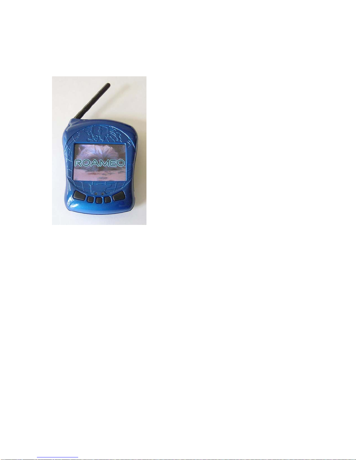
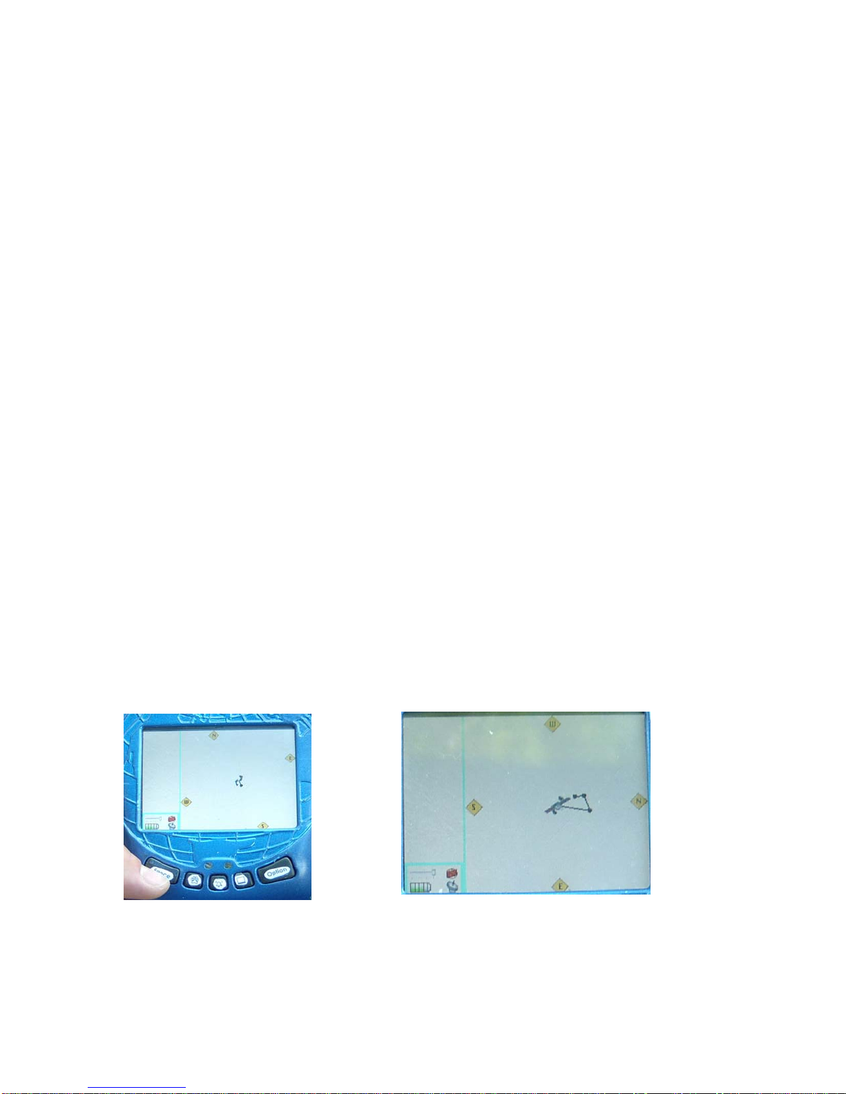
RoamEO uses both technologies to pinpoint the base holder and display it in
relation to the remote(s). This allows the user to locate the remote(s) up to a mile away
(free of any obstruction) in any direction, without any other source. (cell phone towers or
internet access) RoamEO does not have any map overlays and is not intended as a means
to find your way home. Many hand held GPS units are not accurate to the foot and will
say so in the operations manuals of these devices. RoamEO is intended as a tool to assist
in locating your pet in relation to you, wherever you, or they, may roam.
3