TRANSDUCER CONNECTIONS
Seethetransducerowner'smanualincludedwiththeunitfortransducer
installation instructions.
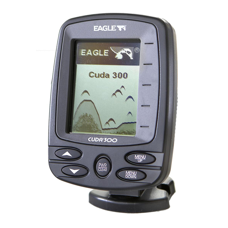
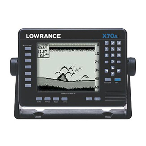
KEYBOARD
Thekeyboard has
keys arrangedintwoverticalcolumns. The
keys
inthe
leftcolumn areusedtoswitch theunitbetween sonar,GPS,
and plotter
modes, plus menuselections. The
keys intherightcolumn
pertain
tothe
basicsonar functions. Themenu keyinthebottomright cornerofthe
keyboard activates thefirstmenupage.
SENS -Pressthiskeytoadjust
theunit's
sensitivity and Grayline.
Toturnthesimulatoron,
pressthe
MENU
key,
then
press
the
keyadjacent
tothe"CHANGE
SETUP"label.Now
press
the
keynexttothe
'MORE"labeluntil thescreen shown below
appears.Pressthekeynexttothe
"SIMON"
label. The simulatormode starts immedi-
ately. Toturnthesimulator
off, eitherpress
and hold theOFFkeyor repeattheabove
stepstogetthemenu
shownbelow. Thelabel
now reads "SIM OFF". Press thekeyadja-
centtothat label.
TIMEFORMAT
TheUltraNavGPS' time format canbeeither
12hour(AM orPM) or24 hour(2:00 pm =
14:00). Whentheunit isfirst turned on, or
afterit'spreset,
thetimeformatis12hour. To
changeto 24 hourformat, press
the MENU
key, then press the key adjacent to the
"CHANGESETUP" label.Nowpressthe
key
nexttothe"MORE'labeluntilthe
"24HOUR"
label
appears. Pressthe
key
nexttothatlabel.
The UitraNavGPS will showthetime in 24
hourformatonallscreenswithatime
display.
To switchbackto12hour
format, repeatthe
abovesteps.
Themenunowsays"12HOUR
ON". Pressthekeyadjacent tothatlabelfor
12hourformat. 1
e_
SELECT
UNITS OF
MEflSUF'.E
4 TURN
BACKLI'3HT
OH ____
F11JRE
RANGE
-
Thiskeylets
youadjust
the
range
whentheunitisinthemanual
mode.
ZOOM -TheUltra
givesyou2Xand 4Xzoom capability
withthiskey.
AUTO
-Thisturnstheautomatic feature offandon.
ALARM -Activateand adjust
thealarmsthrough
thiskey.
MENU -Press thiskeyto show themenus and gainaccess to most
functions. 6 67
ENTER
F'CF
OFFSET
.4
flLlTO .r
38.3
FT ----10
-C
-C -C
I
SIM OH
.1
SONAR
GE'S
PLOTTER
WAVEr
SAVE
WAVPT
RECALL
CLEAR
OFF
CLE'F:
I.
F1ORE
SENS
RANGE
ZOOM
AUTO
ALARM
MENU
ON
L -I
PDF compression, OCR, web-optimization with CVISION's PdfCompressor

