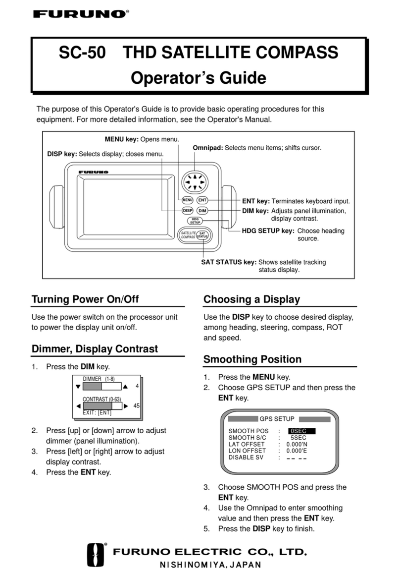
The SC-50 is a new satellite compass that uses Furuno’s
advanced GPS technology. This satellite compass can be
used for a wide range of applications for any type of
vessel. Radar/ARPA, AIS, ECDIS, Scanning Sonar and
Autopilots can utilize the functions of this compass.
The SC-50 uses GPS carrier frequency to determine
heading and is not affected by ship's speed, latitude,
geomagnetism, etc. Settling time is nearly instantaneous
and the follow-up performance is excellent, achieving
45°/s (SOLAS HSC Code requires 20°/s as a minimum).
The SC-50 delivers GPS positioning, SOG (Speed Over
Ground), COG (Course Over Ground) and ROT (Rate of
Turn). SOG is remarkably accurate through decoding the
Doppler shift in the received satellite signals. The
information can be output in IEC61162-2 format at the
high update rate up to 38.4 kbps to satisfy the high speed
data-output requirements in special applications.
Precision roll and pitch data is output in both analog and
digital formats to external equipment. For sonar or echo
sounders, the SC-50 offers stable echo pictures by
compensating the transmitted/received beams even in
rough seas. Thus, the SC-50 can also function as a
highly accurate motion sensor.
The SC-50 has a unique Set and Drift mode. When
connected with a water-tracking speed log, such as
the DS-80, it calculates set and drift (tide direction and
speed) in the mode. The display helps a radar operator
manually enter set and drift for the accurate sea
stabilization pictures.
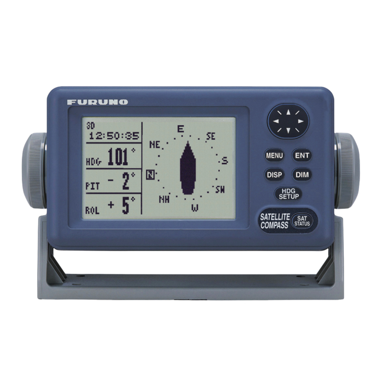
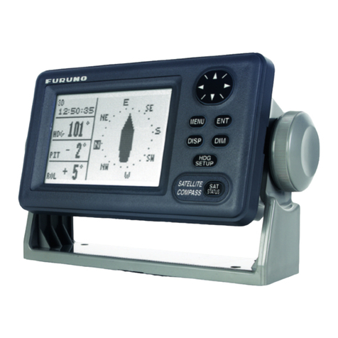
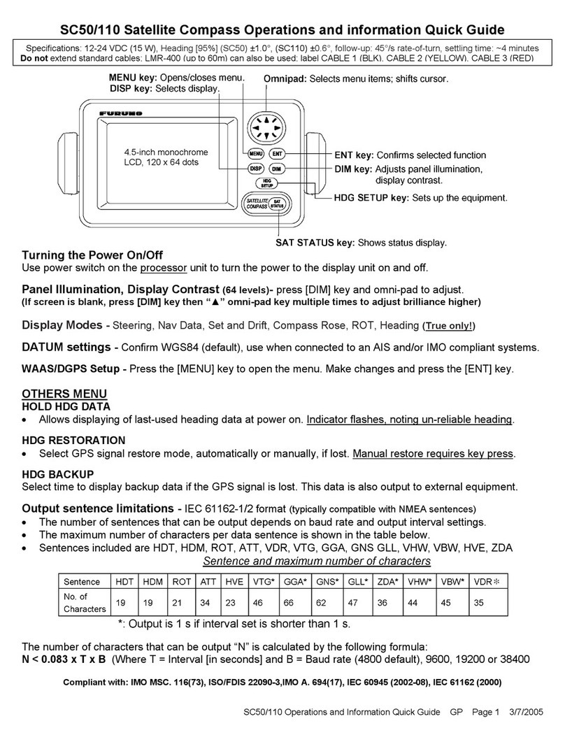
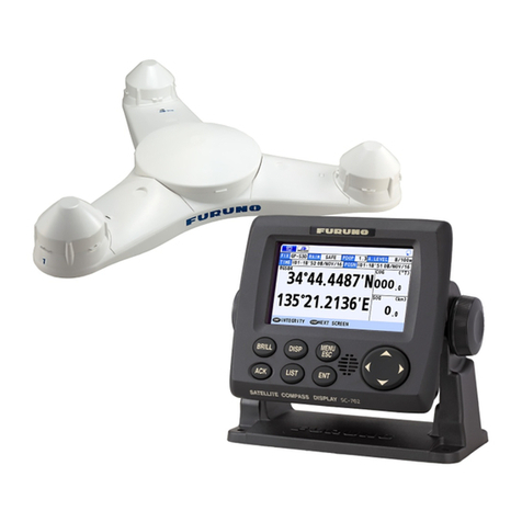
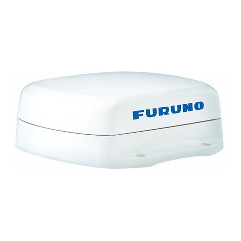
The SC-50 consists of Antenna Unit, Display Unit and
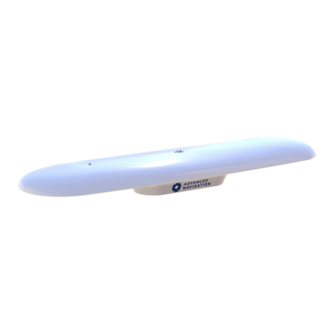
Processor Unit. The stylish radome antenna
accommodates three GPS antennas. The tri-antenna
system helps reduce the influence of vessels’ motions
more than dual-antenna system.
Furuno’s advanced GPS technology ensures
data for AIS, ECDIS, Radar/ARPA and more.
Compass Rose Mode
■Provides highly accurate heading data
for autopilot, radar, AIS, Sonar and
plotting systems
■IMO MSC.116(73) type approved as a
verified THD (Transmitting Heading
Device)
■Rapid 45°/s follow-up rate greatly
exceeds IMO High Speed Craft
requirements 20°/s
■High accurate GPS, WAAS Data - SOG,
COG, ROT, and L/L
■Precision Pitch/Roll Data in Analog and
Digital formats for vessel stabilizers,
sonar, etc..
■Multiple High Speed Heading Data
Output in IEC 61162-1/2 (NMEA0183/HS)
■High Contrast 4.5" Silver Bright LCD
■100% free of yearly or regular
maintenance - No Recurring Costs
■Unique Tri-Antenna System improves
system accuracy and reduces the
effects of yaw, pitch and roll
Processor Unit

