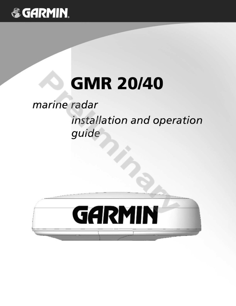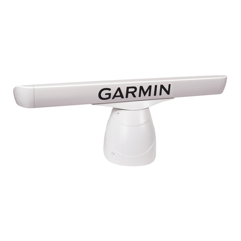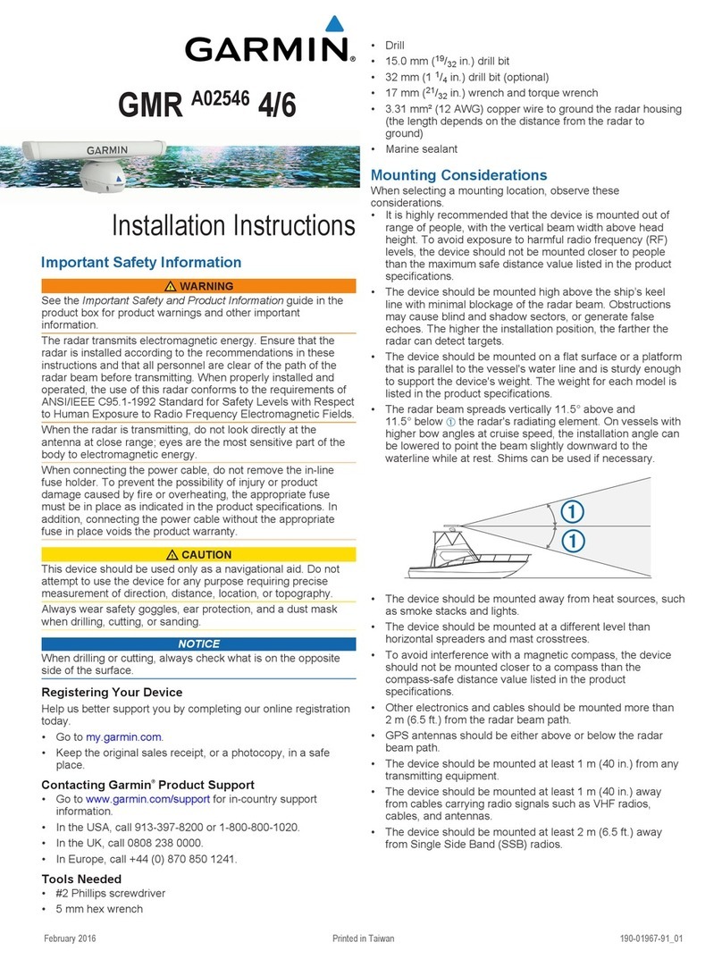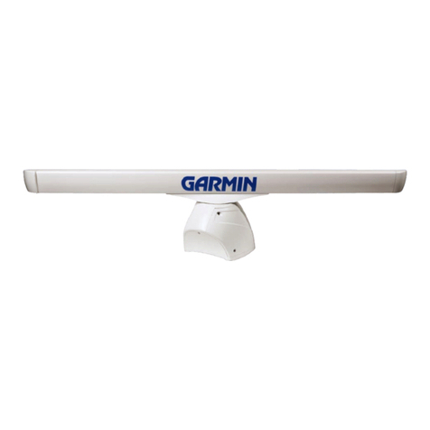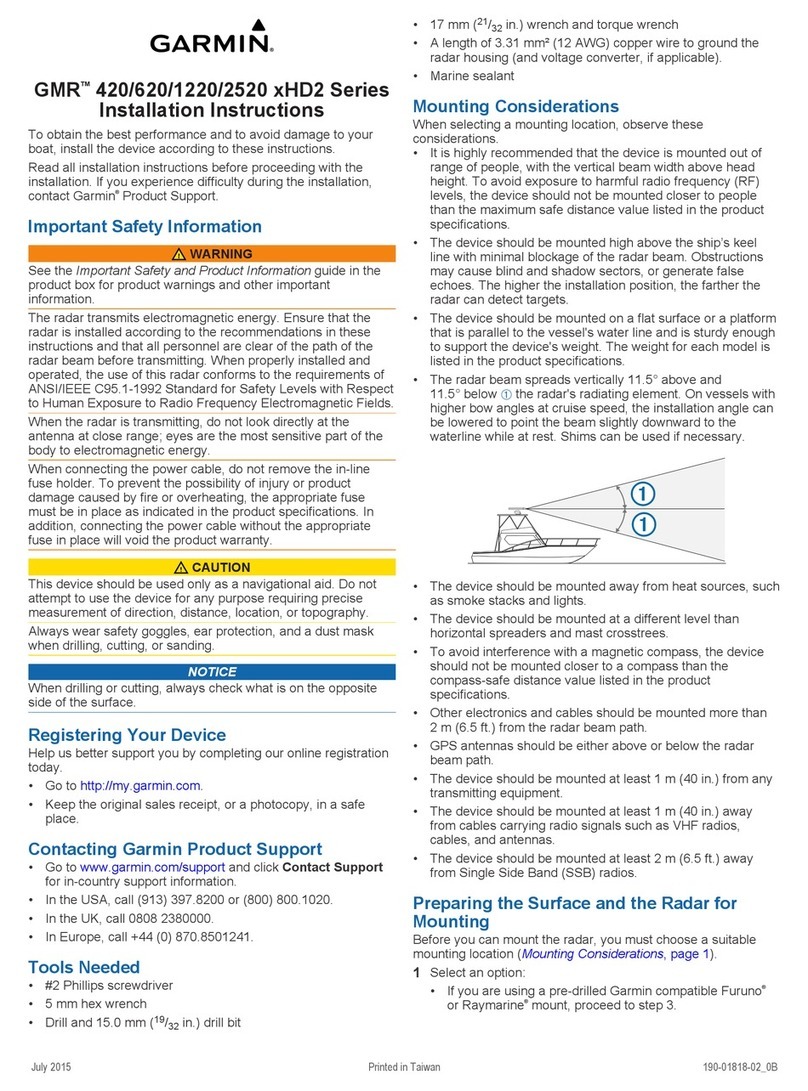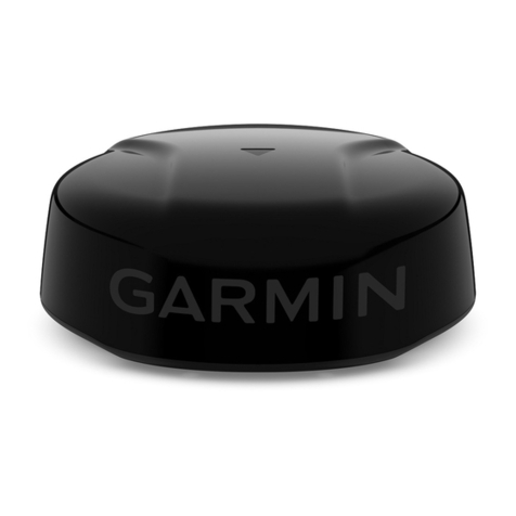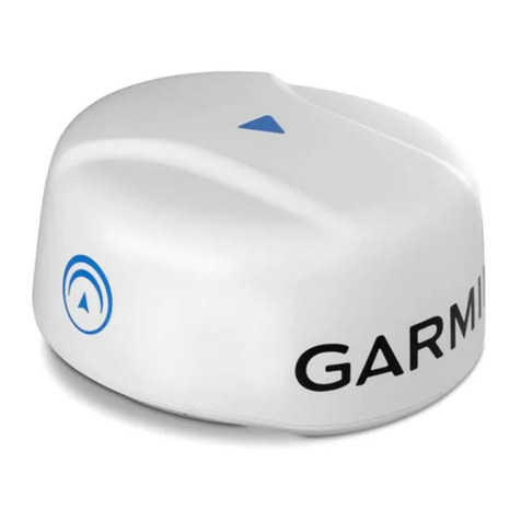
GMR 20/40 Marine Radar
©
2004
Garmin Ltd. or its subsidiaries
Garmin International, Inc.
1200 East 151st Street
Olathe, Kansas 66062, U.S.A.
913/397.8200 fax 913/397.8282
Garmin (Europe) Ltd.
Unit 5, The Quadrangle
Abbey Park Industrial Estate
Romsey, SO51 9DL, U.K.
44/1794.519944 fax 44/1794.519222
Garmin Corporation
No. 68, Jangshu 2nd Rd.
Shijr, Taipei County, Taiwan
886/2.2642.9199 fax 886/2.2642.9099
www.garmin.com
Specifications are preliminary and subject to
change without notice.
* All radar graphics and cartography pictured here are
derived from a Garmin Marine Network™ system utilizing
the GPSMAP®3006C/3010C series chartplotter/MFD
(multifunction display).
1104 M01-10175-00
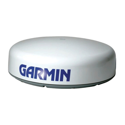
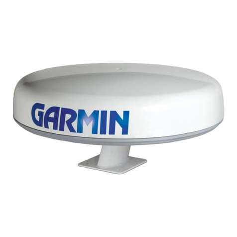
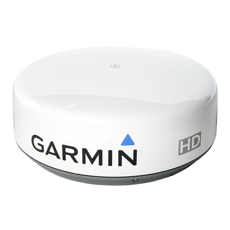
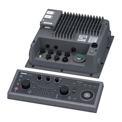
Weight: Dome: 26 lbs; cable: 8.4 lbs
Physical Size: 28” diameter, 8” high
Transmit Power: 2KW (GMR20), 4KW (GMR40)
Power input: 10-35 Vdc, 25W
Antenna Beamwidth: 3.6 degrees horizontal / 25 degrees vertical
Antenna RPMs: 24 rpm
Scanner Operating
Temperature: Range: -15 degrees C to 70 degrees C,
and a relative humidity up to 95% at 35
degrees C
Wind Velocity
(relative): Withstands up to 100 Kts without
performance degradation
Scanner
Waterproofing: Waterproof to IEC 60529 IPX7 standards
Bearing Accuracy: 1 degree
Maximum Range: 24 nm (GMR 20) 36nm (GMR 40)
Minimum Range: 20 meters
Range Discrimination: 20 meters
Range Ring Accuracy: 20 meter or +/- 1.5% of range scale,
whichever is greater
Controls: Auto & Manual Gain Adjust; Manual or
Auto (AFC) receiver tuning; Manual
adjust for Rain Clutter and 3 presets for
Sea Clutter.
*VRM/EBL: 2 user adjustable, capable of floating
*Presentation Modes: North up, Course up, Heading up
Interference Rejection: Yes - Anti-jamming algorithm
*Radar/Chart Overlay: Overlay mode is supported. Users can
view “radar only” split the display for
multiple view of radar and charting
overlays.
*Zoom Mode: 2x, 4x
*Trails: Short, Medium, Long
*Guard Zone Alarm: 2 guard zones - user adjustable
*Off center Function: Look ahead, Auto Shift and Manual
FTC: Low, Medium, High
*MARPA: Yes. Tracks up to 10 MARPA targets for
radar plotting and collision avoidance.
(Heading sensor is required)
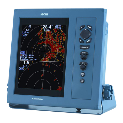
With a narrower beamwidth (3.6°) than other radars in its class,
the Garmin GMR 20/40 series offers more precise definition of
targets.
As an aid in locational awareness, the GMR 20/40 radar image
can be overlaid on the moving map cartography display.
The screen can be split to show overlay and standard radar
simultaneously.
