1 Safety Directions
1.1 General
The following directions enable the person responsible for the product, and
the person who actually uses the equipment, to anticipate and avoid opera-
tional hazards.
The person responsible for the product must ensure that all users understand
these directions and adhere to them.
Warning messages are an essential part of the safety concept of the instru-
ment. They appear wherever hazards or hazardous situations can occur.
Warning messages...
•make the user alert about direct and indirect hazards concerning the use
of the product.
•contain general rules of behaviour.
For the users‘ safety, all safety instructions and safety messages shall be
strictly observed and followed! Therefore, the manual must always be available
to all persons performing any tasks described here.
DANGER, WARNING, CAUTION and NOTICE are standardised signal words for
identifying levels of hazards and risks related to personal injury and property
damage. For your safety, it is important to read and fully understand the fol-
lowing table with the different signal words and their denitions! Supplement-
ary safety information symbols may be placed within a warning message as
well as supplementary text.
Type Description
DANGER Indicates an imminently hazardous situation
which, if not avoided, will result in death or
serious injury.
WARNING Indicates a potentially hazardous situation or
an unintended use which, if not avoided,
could result in death or serious injury.
CAUTION Indicates a potentially hazardous situation or
an unintended use which, if not avoided,
may result in minor or moderate injury.
NOTICE
Indicates a potentially hazardous situation or
an unintended use which, if not avoided,
may result in appreciable material, nancial
and environmental damage.
☞Important paragraphs which must be
adhered to in practice as they enable the
product to be used in a technically correct
and efcient manner.
Description
About warning
messages
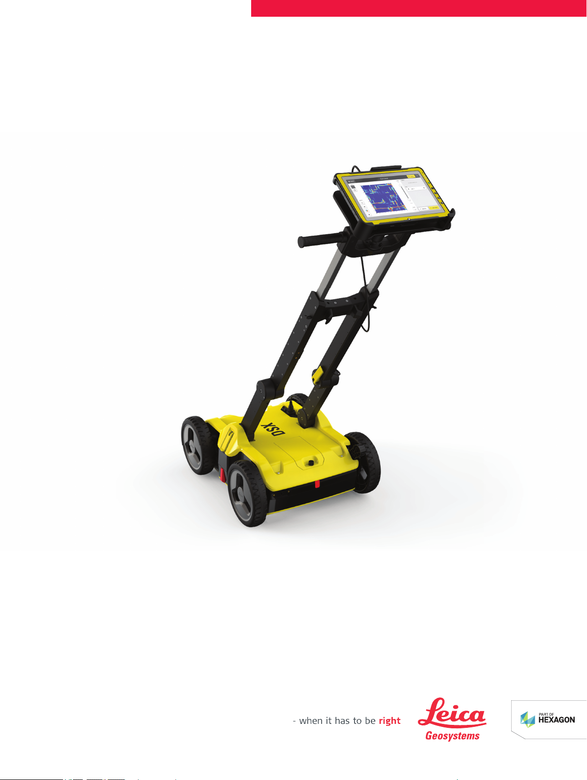
Safety Directions 5