
SDCardFormatting.................................. 33
SettingsReset ..................................... 33
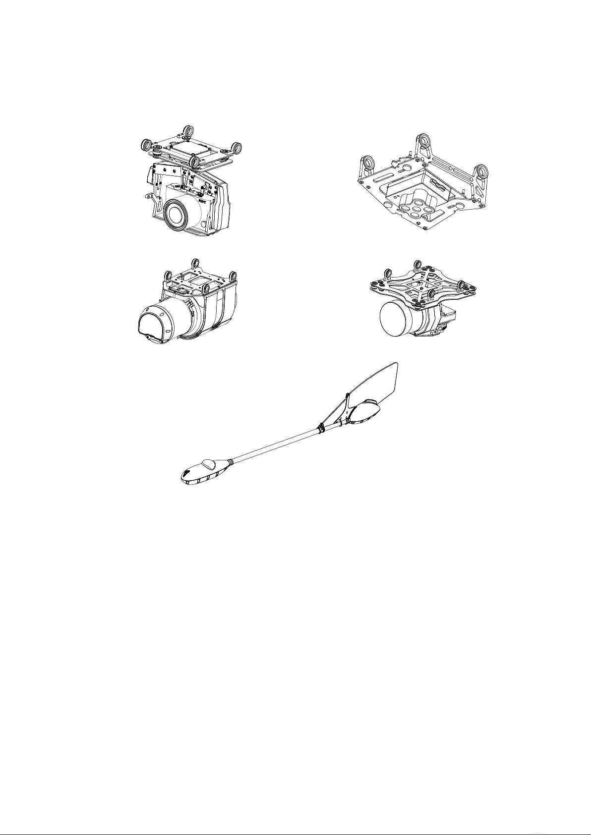
CameraOffsets..................................... 34
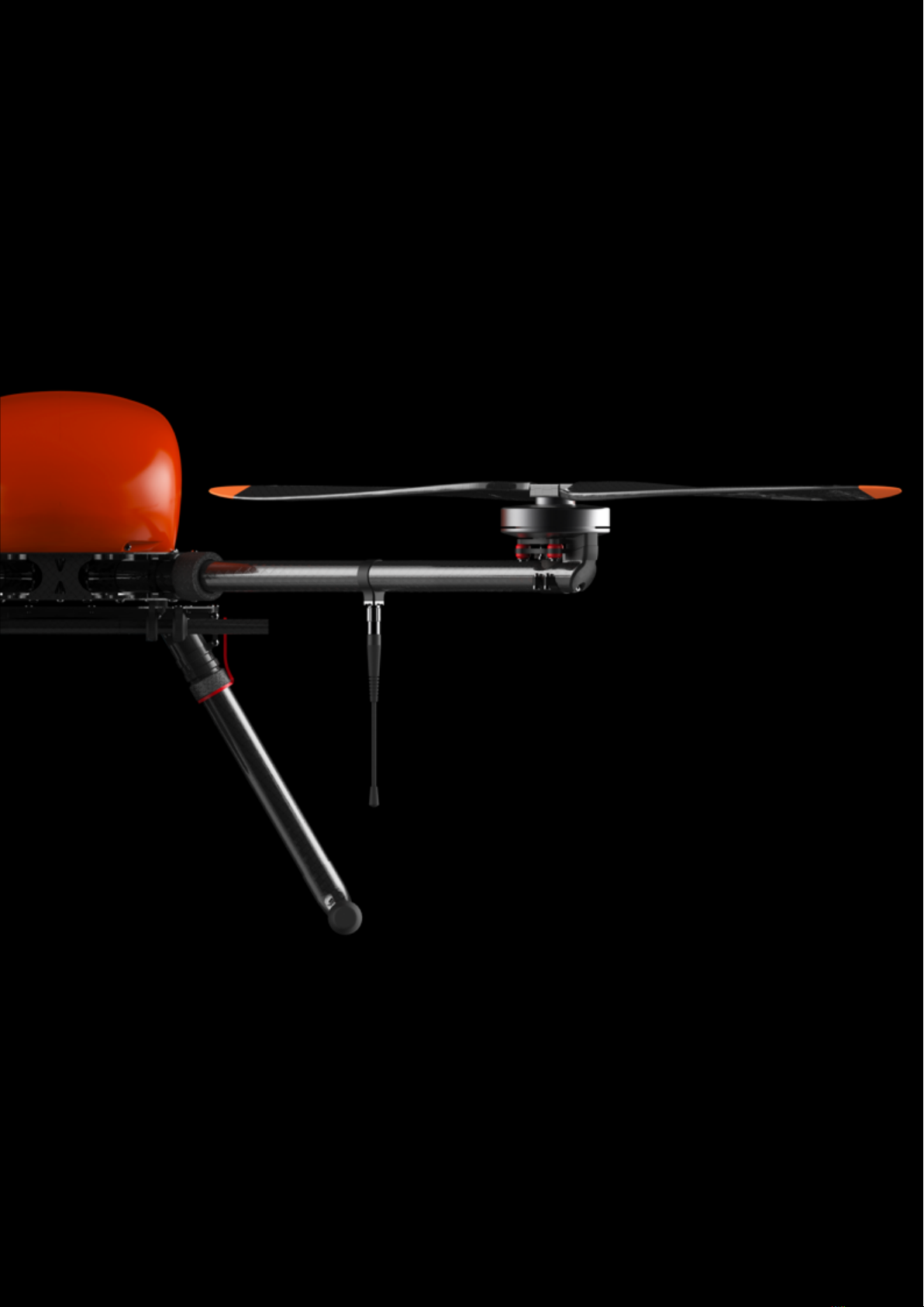
Sony A6000 Digital Camera . . . . . . . . . . . . . . . . . . . . . . . . . . . . . . . . 35
MainParts ....................................... 35
CameraSettings.................................... 35
SDcardFormatting.................................. 36
Geoscan Planner Software 37
System Requirements . . . . . . . . . . . . . . . . . . . . . . . . . . . . . . . . . . . . 37
NewProject.......................................... 38
AerialSurveying.................................... 39
Adding and Removing of Polygon Vertexes . . . . . . . . . . . . . . . 39
Change Flight Route Direction . . . . . . . . . . . . . . . . . . . . . . . 40
Start Point Changing . . . . . . . . . . . . . . . . . . . . . . . . . . . . . 42
LinearSurveying.................................... 43
FlightByPoints................................ 44
WaitingPoint...................................... 45
LandingPoint ..................................... 46
Radio Modem Connection . . . . . . . . . . . . . . . . . . . . . . . . . . . . . . 47
Connecting UAV to Geoscan Planner . . . . . . . . . . . . . . . . . . . . . . . . 49
LaunchPreparing....................................... 50
Flight.............................................. 51
Canceltool .......................................... 52
ImmediateLanding ..................................... 52
GuidedFlight......................................... 53
Semi-automatic Remote Control . . . . . . . . . . . . . . . . . . . . . . . . . . . . . . 54
Launch 55
UAV Disassembly 56
Appendix 57
Specications......................................... 57
3


 user manual")


