IPX5
Environmental
Waterprotection
Displaysizeandtype 10.4inchcolorTFTLCD
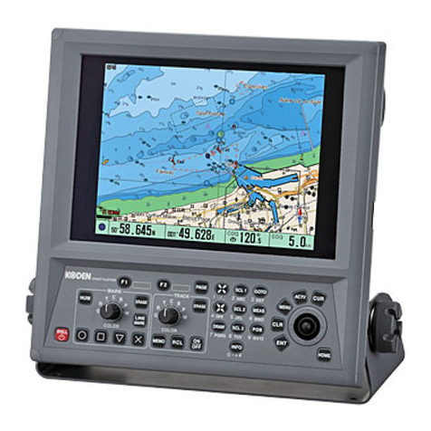
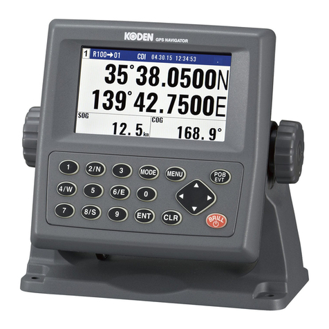
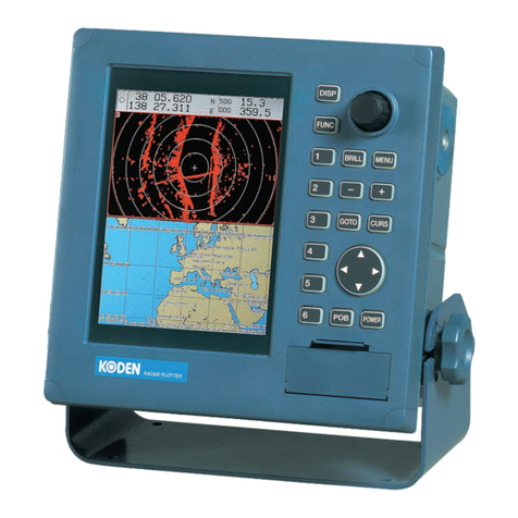
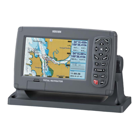
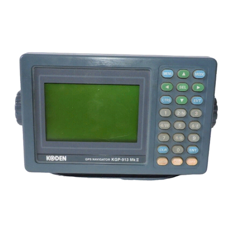
Displayunit GTD-120
Belowthelatitude80degree
1,2,5,10,20,30,60,120,300,600sec
Plotting
NMEA0183Ver.1.5/2.0/3.0
NMEA0183Ver.2.0
GGA,GLL,GTD,HDT,VTG,ZDA,APB,BOD,BWC,RMB,RMC,
Inputdataformats
Outputdataformats
Total5:input/output4,input(GPS)1NMEAports
1sec
Dataoutputcycle
10.8to31.2VDC
Powersupply
25Worless
Powerconsumption
North-up,East-up,South-up,West-up,
Presentationmodes
Mercatorprojection
Mapmode
480×640(VGA)
DisplayResolution
0.01to1,000NM(or0.02to2,000km)
Zoomingrange
Effectivemap
7colors
500points×20blocks
Drawing
Color
Nodes
interval
Time
Distance
7colorsTrackcolor
2,000/4,000/5,000/7,000/10,000/20,000pointsNumberofplots
Lat/Lon,LoranCLOP
Positiondata
15,000points×6blocks+Markedline15,000points
Positionregistration
7colorsMarkcolor
Markshape
Arrival,POB,Crosstrackerror,CPA/TCPA,Area,Drawing,
Alarm
BycursororbyLat/LonorLOPdata
Positionalcorrection
Auto/Manual
Magneticcompass
Ownshipʼsposition,Ownshipʼscourse,Ownshipʼsspeed,
POBposition,POBbearing,POBdistance,Cursorposition,
Navigationdata
Displayunit
GTD-120
AISboard
AIS-110
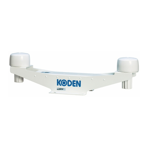
GPSCompass
KGC-222
GPSSensor
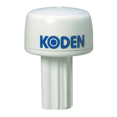
GPS-20A
Solidlines:Standarddevicesandconnections
Dashedlines:Optionaldevicesandconnections
10.8to31.2VDC
Navigationequipmrnt
EchoSounder
MarineRadar
Sonar
Autopilot
Externalmonitor(VGA)
AIS
Externalbuzzer
Remotecontroller
※Connectingcable
Forselectingcable,pleasecontactyournearestdistributor
17-10,PrintedinJapan
Fordetails,pleasecontact:
構成品目
Displayunit
GPSSensor,GPSCompass,GPSanttenasupportholder
AISInterface,Variousconnectioncables,PowerRectifier
DCpowercable
Spareparts
Operationmanual
QuickReference
1
1
1
1
1
Option
Standard
Equipment
外観寸法図・重量
Displayunit
GTD-120
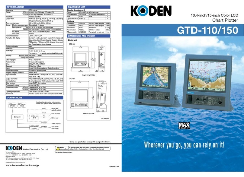
SPECIFICATIONS
CONNECTIONS
EQUIPMENTLIST
DIMENTIONSANDWEIGHT
Weight:8.0kg(17.7lb)
Unit:mm[inch]
(inclusivebase)
Temperature -15℃to+55℃
andsentences
andsentences
DBS,DBT,DPT,GGA,GLL,HDG,HDT,MSK,MTW,
MWD,MWV,RMC,THS,TLL,TTM,VTG
,ZDA
correction
display
display
Course-up(Waypoint),Head-up
creationarea
0.01,0.02,0.05,0.1,0.2,0.5,1.0,2.0,5.0,10.0NM/km
Waypointposition,Waypointbearing,Waypointdistance,
(Allpointscanberegisteredaswaypoint)
Languages English,Japanese,Korean,Spanish,TraditionalChinese
(at24VDC)
Shipʼsspeed,Depthlimit,Grounding
.
WPL,XTE
Cursorbearing,Cursordistance
savedtrack20,000points×10blocks
(Upperlimitpointscanbeselectablefrom6types)+
334 ±3
[13 9/64 ±1/8]
[12 5/8 ±1/8]
321 ±3
364 ±3
[14 11/32 ±1/8]
[5
11/16
±1/8]
145
±3
1
13/64
31
[5 29/32]
150
321
±
3
[12
5/8 ±
1/8]
181 ±3
[7 1/8 ±1/8]
