manuals.online logo
Brands
  1. Home
  2. •
  3. Brands
  4. •
  5. Brunton
  6. •
  7. Compass
  8. •
  9. Brunton 9020 User manual

Brunton 9020 User manual

Made
Made
Made
Made in
in
in
in U.S.A.
U.S.A.
U.S.A.
U.S.A.
Basic
Basic
Basic
Basic Compass
Compass
Compass
Compass Facts
Facts
Facts
Facts
The magnetic compass has been used as a direction-finding device
for thousands of years, ever since it was discovered that a
magnetized needle will point in a constant direction when left free to
rotate.
This is so because the earth is surrounded by a magnetic field, and
a magnetized object will orient itself to that field, given the
opportunity.
Specifically, it will align itself so that it points toward the earth ’ s North
magnetic pole, The North magnetic pole is located near (but not
precisely at) the geographic North pole.
Primitive compasses consisted of an iron needle which had been
stroked with a magnetic rock and then suspended from a thread, or
struck though a piece of cork or wax and placed in a bowl of water.
Although these compasses were not very precise, they nonetheless
helped early explorers and navigators find their way from one point
on the earth ’ s surface to another, by providing a constant direction
indicator.
Today ’ s compasses work on the same principle, nut are far more
sophisticated. In addition to a freely turning magnetic needle, a
modern, high-quality compass will have a movable, calibrated dial
and a sighting system for use in obtaining accurate bearings. More
advanced compasses can also be adjusted to compensate for the
fact that the earth ’ s magnetic poles are not located precisely at the
geographical poles. (The error caused by this difference is called
declination
, and it varies depending upon your location.)
The Brunton line of sportsman ’ s compasses incorporates many
features first developed on our professional-grade instruments; they
are the finest popular-usage compasses available today.
Getting
Getting
Getting
Getting to
to
to
to Know
Know
Know
Know Your
Your
Your
Your Brunton
Brunton
Brunton
Brunton Compass
Compass
Compass
Compass
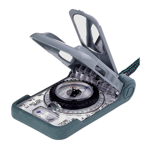
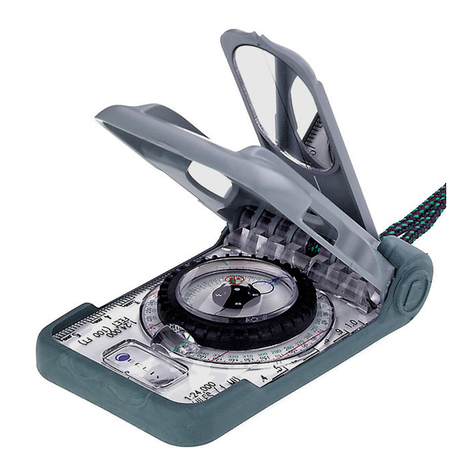
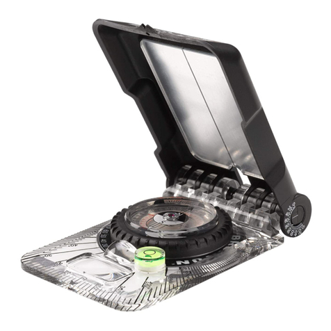
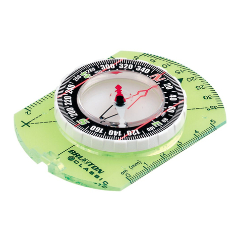
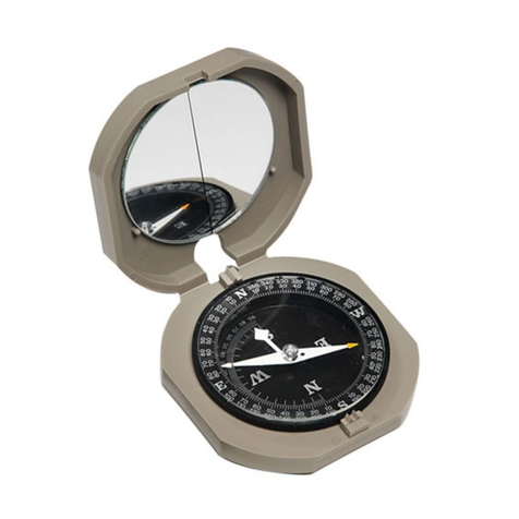
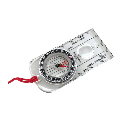
Your Brunton sportsman ’ s compass has numerous features which
make it easy to work with and increase its usefulness. Take a few
moments to study your compass, referring to the appropriate
diagram (below) and you will be able to understand the following
instructions with little or no difficulty.
Taking
Taking
Taking
Taking a
a
a
a Bearing
Bearing
Bearing
Bearing
A bearing is the degree reading or direction from your position to
another object. Thus, if you were in the field and a mountain peak
was directly East of your position, the bearing of the mountain would
be 90
°
. If the peak were directly South, its bearing would be 270
°
.
(The term
azimuth
is sometimes used instead of bearing.)
To take a bearing hold the compass level in front of you. The
sighting line should be pointing toward the object on which you are
taking a bearing. (Fig. 2). With the sighting line pointing straight to
the object, carefully turn the dial until the orienting arrow and the
magnetic needle are lined up (Fig. 2A).
Be sure the arrow and needle are lined up correctly and not
backwards. The bearing to your object is now the degree reading
indicated at the sighting line.
How
How
How
How to
to
to
to Find
Find
Find
Find Your
Your
Your
Your Line
Line
Line
Line of
of
of
of Travel
Travel
Travel
Travel
When
When
When
When the
the
the
the Bearing
Bearing
Bearing
Bearing is
is
is
is Known
Known
Known
Known
If you know the bearing in degrees to an object from your present
location, it is a simple matter to find your line of travel to that object.
First, rotate the compass dial until the known object is next to the
sighting line.
Then, hold the compass in a horizontal position, so that the
magnetic needle is free to rotate, and pivot yourself until the orienting
arrow is aligned with the magnetic needle. The sighting line on the
compass now indicates the appropriate direction of travel to reach
your objective.
Adjusting
Adjusting
Adjusting
Adjusting for
for
for
for Declination
Declination
Declination
Declination
Before using your Brunton compass, it is advisable to make sure it
is properly adjusted to compensate for the local angle of declination.
What
What
What
What is
is
is
is Declination?
Declination?
Declination?
Declination? The magnetic needle in your Brunton
compass points towards the earth ’ s North magnetic pole, which is
located in the Hudson ’ s Bay region and moves slightly from year to
year.
Because the magnetic pole is not at the true geographic North pole,
compass readings will not correspond accurately to map directions
unless the compass is adjusted to compensate for the difference ion
location.
The angel between magnetic North and true North is called
magnetic declination
, and it varies depending upon where you are in
relation to the magnetic and geographic poles.
When you are in a position such that true North and Magnetic North
are “ lined up ” with each other, the declination is zero. The zero
declination line passes through Lake Michigan and extends through
Florida, as shown in Fig. 3.
If you are East of the zero declination line, your compass will point
West of true North, This is called westerly declination. If you are
West of the zero declination line, your compass will point East of true
North (easterly declination). For example, in Texas, at the 8
°
declination line, your compass magnetic needle would point 8 °East
of true North. Conversely, Maine, at the 20
°
declination line, the
needle would point 20 °to the West of true North.
Since maps and directions are usually based on true North,
declination error must be considered whenever you use your
compass. Fortunately your compass is easily adjusted to
compensate for declination error.
The following steps are used to adjust your compass. Figure 1
shows compass parts important to declination adjustment. Figure 4
illustrates the adjustment procedures. Figure 5 shows examples of
declination settings after adjustment.
1.
1.
1.
1. Determine the declination in your area through use of the
isogonic chart.
2.
2.
2.
2. Squeeze the center vial with thumb and index finger of the left
hand.
3.
3.
3.
3. With right hand, rotate outer dial until the arrow is lined up
with the desired declination angle on the declination scale.
4.
4.
4.
4. With declination set for your area, your compass will indicate
true North.
Using
Using
Using
Using Your
Your
Your
Your Compass
Compass
Compass
Compass with
with
with
with a
a
a
a Topographic
Topographic
Topographic
Topographic Map
Map
Map
Map
A topographic map shows hills and valleys by contour lines.
Each contour line represents a constant elevation in feet or
meters above sea level. The interval of height between lines is
stated on the map. This interval or vertical distance is
represented by the space between contour lines. Thus, lines
close together indicate that elevation is changing rapidly, while
lines far apart indicate a gradual elevation change.
With practice you can recognize at a glace, hills, valleys, ridges
or cliffs. Interpretation of the contour lines enables the sportsman
to select the best possible route from one point to another. It also
enables him to identify landmarks by determining his position or
bearing relative to those landmarks.
A topographic map index for your state can be obtained from:
Map Information Office
U.S. Geological Survey
General Services Building
8
th
and F Streets, N.W.
Washington, D.C. 20405
Figure 6 illustrates how terrain is shown on a topographic map.
Drawing
Drawing
Drawing
Drawing Magnetic
Magnetic
Magnetic
Magnetic North
North
North
North Lines
Lines
Lines
Lines on
on
on
on Your
Your
Your
Your Map.
Map.
Map.
Map. Topographic maps
have a diagram showing the magnetic declination angle. One
method of constructing magnetic lines is simply extend the magnetic
arrow on the map with a straight edge, Then we use the extended
line as a reference to draw parallel lines at about one-inch intervals.
How
How
How
How to
to
to
to Obtain
Obtain
Obtain
Obtain Your
Your
Your
Your Bearing
Bearing
Bearing
Bearing from
from
from
from a
a
a
a Map.
Map.
Map.
Map. If you wish to travel from
your present location to some destination on the topographic map,
simply place your compass on the map so that the long edge of the
base is in a lone from your location to the desired destination.
(See Figure 7.)
Next, hold the compass in a steady position and rotate the dial so
that the arrow and lines on the transparent bottom of the compass
are parallel with the magnetic North lines you drew on the map. Be
sure that the North side of the dial is toward North on the map. (See
Fig. 8.) The bearing to your destination now appears at the sighting
line nearest the destination. Your line of travel can now be found
using the method explained under section,
How to Find Your Line of
Travel When the Bearing is Known
.

Other Brunton Compass manuals

Brunton TruArc User manual

Brunton

Brunton TruArc User manual

Brunton GeoTransit User manual

Brunton

Brunton GeoTransit User manual

Brunton GEO LITE TRANSIT F-5030 User manual

Brunton

Brunton GEO LITE TRANSIT F-5030 User manual

Brunton Nomad V2 Pro User manual

Brunton

Brunton Nomad V2 Pro User manual

Brunton 9075 User manual

Brunton

Brunton 9075 User manual

Brunton ECLIPSE 8099 User manual

Brunton

Brunton ECLIPSE 8099 User manual

Brunton 58CE Manual

Brunton

Brunton 58CE Manual

Brunton ECLIPSE 8096 User manual

Brunton

Brunton ECLIPSE 8096 User manual

Brunton TruArc User manual

Brunton

Brunton TruArc User manual

Brunton 7DNL User manual

Brunton

Brunton 7DNL User manual

Brunton Nomad 2004 User manual

Brunton

Brunton Nomad 2004 User manual

Brunton Classic User manual

Brunton

Brunton Classic User manual

Brunton 16B Braille User manual

Brunton

Brunton 16B Braille User manual

Brunton 66Spectra User manual

Brunton

Brunton 66Spectra User manual

Brunton 9020G Quick setup guide

Brunton

Brunton 9020G Quick setup guide

Brunton SM360LA User manual

Brunton

Brunton SM360LA User manual

Brunton Omni-Sight User manual

Brunton

Brunton Omni-Sight User manual

Brunton Outback User manual

Brunton

Brunton Outback User manual

Brunton Cadet User manual

Brunton

Brunton Cadet User manual

Brunton GeoTransit User manual

Brunton

Brunton GeoTransit User manual

Brunton ECLIPSE 8099 User manual

Brunton

Brunton ECLIPSE 8099 User manual

Brunton Classic Compass User manual

Brunton

Brunton Classic Compass User manual

Brunton Transit User manual

Brunton

Brunton Transit User manual

Brunton 15TDCL User manual

Brunton

Brunton 15TDCL User manual

Popular Compass manuals by other brands

Fine Offset Electronics WS110 instruction manual

Fine Offset Electronics

Fine Offset Electronics WS110 instruction manual

AUTONAUTIC INSTRUMENTAL C20 Installation & operator's manual

AUTONAUTIC INSTRUMENTAL

AUTONAUTIC INSTRUMENTAL C20 Installation & operator's manual

Riviera ARTICA 2 3/4 user manual

Riviera

Riviera ARTICA 2 3/4 user manual

König Electronic KN-CP50 manual

König Electronic

König Electronic KN-CP50 manual

Konig KN-CP50 manual

Konig

Konig KN-CP50 manual

Ritchie GLOBEMASTER B-500 Installation, Compensation, and Maintenance Instructions

Ritchie

Ritchie GLOBEMASTER B-500 Installation, Compensation, and Maintenance Instructions

ComNav Vector G2 Installation & operation manual

ComNav

ComNav Vector G2 Installation & operation manual

Radio Shack 63-5027 owner's manual

Radio Shack

Radio Shack 63-5027 owner's manual

JRC Alpatron AlphaMidiCourse Installation and operation manual

JRC

JRC Alpatron AlphaMidiCourse Installation and operation manual

STOWE MARINE DATALINE-X COMPASS user guide

STOWE MARINE

STOWE MARINE DATALINE-X COMPASS user guide

Silva SightMaster user guide

Silva

Silva SightMaster user guide

Hama 00047458 quick start guide

Hama

Hama 00047458 quick start guide

Honeywell TruePoint HMR3500 manual

Honeywell

Honeywell TruePoint HMR3500 manual

Mgl Vega AHRS-1 operating manual

Mgl

Mgl Vega AHRS-1 operating manual

Oregon Scientific RA123 user manual

Oregon Scientific

Oregon Scientific RA123 user manual

Peco DCC-1 user guide

Peco

Peco DCC-1 user guide

Nexus 70P Directions for use

Nexus

Nexus 70P Directions for use

WayFinder V2000 Operation manual

WayFinder

WayFinder V2000 Operation manual

manuals.online logo
manuals.online logoBrands
  • About & Mission
  • Contact us
  • Privacy Policy
  • Terms and Conditions

Copyright 2025 Manuals.Online. All Rights Reserved.