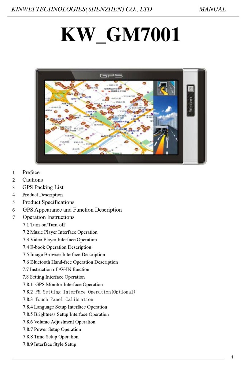
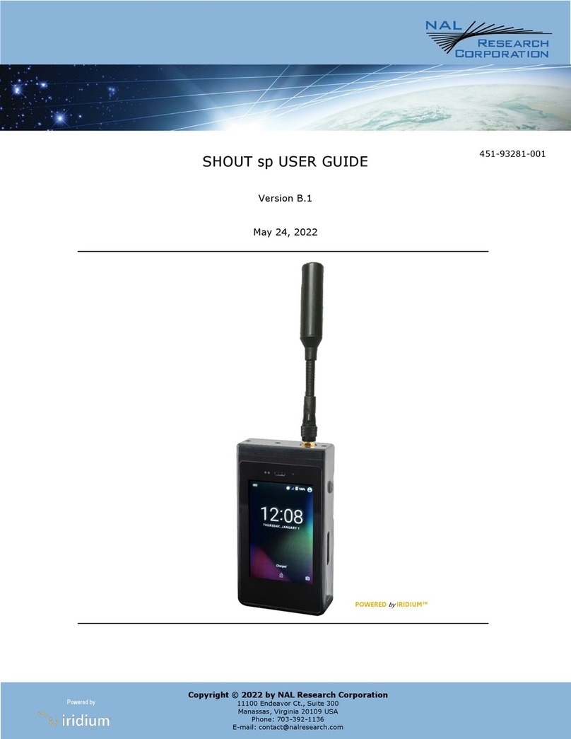
BENDIXKing KLN 89 User manual

-1-
Quick Reference KLN 89/89B
KLN 89(B) Pages
Airpor (APT) Pages
1 Ident, elevation, name, city,
state, use type
2 Latitude/longitude, bearing/radial
and distance
3 Time from UTC, fuel, approaches,
radar environment
4 Runway numbers, length, surface,
lighting
5 Comm frequencies
6 User remarks
7 SID/STAR procedures
8 Non-precision approach procedures
VOR Pages
1 Ident, frequency, name, lat/long
2 Magnetic station declination,
bearing/distance
NDB Pages
1 Ident, frequency, name, lat/long
2 Bearing/distance
In ersec ion (INT) Pages
1 Ident, lat/long, bearing/distance
2 Location relative to VOR
User-defined Waypoin (USR) Pages
1 Ident, lat/long, bearing/distance
2 Location relative to VOR
Ac ive Waypoin (ACT) Pages
Waypoint pages for active flight plan
waypoints and/or the direct-to waypoint
Naviga ion (NAV) Pages
1 Active waypoint/leg, CDI, DTK, TK,
bearing, ETE
2 Present position (lat/long or radial/
distance)
3 Present time, departure time, ETA at
destination, elapsed flight time
4 Moving map
Fligh Plan (FPL) Pages
0 Active flight plan
1-25 Stored (numbered) flight plans
Calcula or (CAL) Pages
1 Trip calcs for distance, bearing,
ESA, and ETE
2 Trip calcs for fuel requirements
3 Alarm/timer
4 Pressure altitude
5 Density altitude
6 True airspeed (TAS)
7 Winds aloft
8 Sunrise/sunset
Se up (SET) Pages
1 Position initialization for GPS
receiver
2 Date, time, and time zone
initialization
3 Data base update
4 Turn anticipation enable/disable
5 Default first waypoint character
6 Nearest airport criteria
7 SUA alert enable/disable
8 Barometric pressure units
9 Altitude alerting
10 Low voltage warning
11 Display brightness
O her (OTH) Pages
1 GPS state, GPS altitude, EPE
2 GPS signal status
3 RAIM prediction
4 List of user-defined waypoints
5 List of airports and user waypoints
with stored remarks
6 Software versions
7* Fuel required, on board
8* Fuel endurance, range, efficiency
9* Fuel flow
10* Cumulative fuel used
11* TAS, Mach
12* SAT, TAT, pressure alt, density alt
* Page only displayed if appropriate equip-
ment is interfaced with KLN 89(B)
Bendix/King®
GPS Navigation System

KLN 89B INSTRUMENT APPROACH REFERENCE
WARNING: Make sure that you have practiced instrument
approaches with the KLN 89 in VFR weather before attempting to fly
approaches in IMC.
A. APPROACH SEQUENCE
1. Flight Plan
a. SELECT an approach from the APT 8 page.
b. CHANGE or DELETE approaches on the FPL 0 page.
2. Get established on the final approach course.
a. VERIFY APR ARM is annunciated within 30 nm of destination.
b. SELECT the NAV 4 page.
c. SELECT OBS mode for radar vectored intercepts, procedure turns and
holding patterns. Use OBS mode until inbound to the FAF.
d. SELECT LEG mode for NoPT routes including DME arcs. LEG mode is
mandatory from the FAF to the MAP.
3. At or before 2 nm from the FAF inbound:
a. SELECT the FAF as the active waypoint.
b. SELECT LEG mode.
4. At 2 nm inbound to the FAF:
a. VERIFY APR ACTV annunciated.
5. At the FAF if APR ACTV not annunciated:
a. DO NOT DESCEND.
b. EXECUTE MISSED APPROACH.
NOTE: There is no automatic leg sequencing at the MAP.
6. After the MAP:
a. FLY the exact published missed approach procedure from the approach
charts.
b. PRESS D. Verify automatic selection of the first waypoint of the
missed approach procedure (usually the missed approach holding
point). Change it if desired.
B. TIPS
1. The data base must be up to date.
2. Only one approach can be in the flight plan at a time.
3. APT 8 page is used for approach and IAF selections. (Use the Active
Waypoint pages when the destination airport is in the active flight plan.)
4. Data cannot be altered, added to or deleted from the approach
procedures contained in the data base. (DME arc intercepts may be
relocated along the arc through the NAV 4 page or FPL 0 page.)
5. To change or delete a SID, STAR or approach, select the FPL 0
page, place the cursor over the name of the SID, STAR or approach,
press Fto change it, or Ethen Fto delete it.
6. Some approach waypoints in the data base may not appear on the
approach plates (in some cases this includes the FAF)!
7. Waypoint suffixes attached to some flight plan waypoints:
i - IAF, f - FAF, m - MAP, h - missed approach holding fix.
8. Use the NAV 4 page for flying approaches.
9. At 30 nm from the destination airport the KLN 89B will go into APR ARM if
there is an approach in the flight plan. Left/right D-bar scaling will
change from ±5.0 nm to ±1.0 nm over the next 30 seconds.
-2-

TIPS (Continued)
10. If the approach includes a DME arc, the DME arc intercept point will be a)
on your present position radial off the arc VOR when you select an arc IAF,
or b) the beginning of the arc if currently on a radial beyond the arc limit.
To ad ust the arc intercept to be compatible with a radar vector, bring up
the first waypoint of the arc in the NAV 4 page scanning field (or under the
cursor on the FPL 0 page), press E, then F. Fly the arc in LEG. Ad ust
the HSI or CDI course pointer with reference to the desired track value on
the NAV 4 page (it will flash when the pointer needs to be ad usted).
Left/right D-bar information is relative to the arc. Displayed distance is not
along the arc but straight to the active waypoint. (The ARC radial is also
displayed on the NAV 4 page.)
11. Two nm from the FAF inbound and in LEG, the KLN 89B will go into APR
ACTV and the D-bar scaling will change from ±1.0 nm to ±0.3 nm.
12. APR ARM to APR ACTV is automatic provided all of the following are sat-
isfied:
a. In APR ARM (normally automatic).
b. In LEG mode!
c. FAF is the active waypoint!
d. Within 2 nm of the FAF.
e. Outside the FAF.
f. Inbound to the FAF.
g. RAIM is available. (For early prediction
go to OTH 3 page.)
13. RAIM availability is mandatory for approach operation.
14. APR ACTV mode is mandatory for approach operation.
15. DIRECT-TO operation between the FAF and MAP cancels approach
ACTV. Fly the missed approach in APR ARM.
16. Flagged navigation inside the FAF may usually be restored by pressing the
external GPS APR button to change from ACTV to ARM. Fly the missed
approach procedure.
17. Instrument approaches using the KLN 89B may be essentially automatic
starting 30 nm out (with manual baro setting update) or it may require udi-
cious selection of the OBS and LEG modes.
18. APR ARM may be cancelled at any time by pressing the GPS APR button.
(A subsequent press will reselect it.)
C. PAGE MESSAGES - Messages that could appear during approach opera-
tions. Refer to the Pilot’s Guide for a complete list of messages.
XXXXX Dele ed
From FPL 0 --A pre-existing waypoint was deleted from FPL 0 because the same
waypoint was in the Approach/SID/STAR ust loaded into FPL 0.
APR ACTV Annunica or
Fail --Indicates an annunciator drive circuit failure. Discontinue approach operation
unless already on final approach inside the FAF.
Adj Nav Crs o XXX° --Manually ad ust the mechanical HSI or CDI to the indicated
value.
APR ARM Annunica or
Fail --Indicates an annunciator drive circuit failure. Discontinue approach operation
unless APR ACTV is annunciated.
-3-
17
35
14
32
MAP
FAF
70°
2 nm

PAGE MESSAGES (Continued)
Arm GPS Approach--Manually arm approach mode. (A reminder given 3 nm from
the FAF if the approach mode was disarmed manually.)
Bad Sa elli e Geome ry
And RAIM No Available --Can appear in approach ACTV mode only. Integrity mon-
itoring is lost and satellite geometry is degraded. Can be followed by a NAV flag.
Bad Sa elli e Geome ry
See EPE on OTH 1 page -- Integrity monitoring is lost and the estimated position
error is greater than allowed for the current phase of flight. Cross check the position
with other on-board equipment every 15 minutes.
Check APR ACTV
Annuncia or --Indicates an overcurrent condition in the annunciator circuit.
Discontinue approach operation unless already on final approach inside the FAF.
Check APR ARM
Annuncia or --Indicates an overcurrent condition in the annunciator circuit.
Discontinue approach operation unless APR ACTV is annunciated.
GPS Course is XXX° --Displays the new desired track when GPS is not displayed on
the primary indicator.
If Required Selec OBS--Use OBS mode for holding patterns or procedure turns.
Appears 4 nm from a waypoint that normally would require the OBS mode.
Press ALT To Se Baro --A reminder given 30 nm from the destination airport to
update the barometric setting.
Press GPS APR for NAV --After a NAV flag in approach ACTV mode, press GPS
APR button to restore navigation for the missed approach. (Integrity monitoring is
less critical in approach ARM mode so navigation may be restored.)
RAIM No Available
APR Mode Inhibi ed
Predic RAIM on OTH 3 --RAIM is predicted to not be available at either the FAF or
the MAP. Determine when RAIM will be available on the OTH 3 page. Integrity moni-
toring is required for approach operation.
RAIM No Available
Cross Check Posi ion --Integrity monitoring is absent. Compare the GPS position
with other on-board navigation equipment.
RAIM Posi ion Error
Cross Check Posi ion--RAIM has detected a problem with a satellite. Compare the
GPS position with other on-board navigation equipment.
Redundan WPTs in FPL
Edi Enrou e WPTs
As Necessary--Examine the active flight plan and remove those waypoints that
occur both in the en route and the approach or SID/STAR sections of the flight plan.
-4-

D. SCRATCHPAD MESSAGES - Messages that could appear during approach
operations. Refer to the Pilot’s Guide for a complete list of messages.
dd CRS
XXX°--When in OBS mode, manually ad ust the HSI or CDI course pointer to the
prescribed value to provide direct-to navigation.
Fpl Is
Full--The KLN 89B cannot add any more waypoints to the flight plan.
Invalid
Add--You can’t add waypoints to the approach sequence.
Invalid
Del--You can’t delete waypoints from the approach sequence.
No Apr In Fpl --No approach has been loaded into the flight plan when the APR
ARM button is pressed.
No In cp --The aircraft’s actual track does not intersect with the DME arc. Alter
course so that the actual track does intercept the arc.
D Base Expire --A reminder that the data base is out of date.
NAV 4 (MOVING MAP) PAGE TIPS
• To scan through the active flight plan waypoints, pull out and turn the right
inner knob. With desired waypoint displayed in scanning window, press D
and Fto go direct-to the selected waypoint.
• To change what information is displayed on the map, press the Bbutton,
select Menu? and press the Fbutton to bring up a pop-up menu.
• Line 1: Display 5 nearest special use airspaces (SUAs); on or off
• Line 2: Display 9 nearest VORs; on or off
• Line 3: Display 9 nearest airports; on or off
• Line 4: Map orientation; N=North up, DTK=Desired track up,
TK = Actual track up (when groundspeed > 2 kts), HDG = Heading up (if
heading supplied to the KLN 89(B))
• To change the map scale factor:
1. Press the Bbutton. The cursor comes up over the map scale
in the lower left corner of the map display.
2. Use the right inner knob to change between scale factors.
3. For terminal area operations select AUTO scale factor.
• To change the navigation information displayed in the lower left corner:
1. Press the Bbutton
2. Use the right outer knob to move the cursor to the cyclic field in
the lower left corner
3. Press Eto change between the choices, which are:
• Groundspeed
• Estimated Time En route (ETE) to the active waypoint
• Crosstrack correction
• Magnetic Desired Track (DTK). DTK is always displayed in
this area during DME arc approaches
-5-

Summary of Opera ion
• Emergency Nearest Airport Search - Press Gthen F.
• Operation of right knobs - Cursor on
• Press Bbutton. With the cursor on, outer knob controls
cursor location and inner knob selects the character.
• With the inner knob in, make selection character by character.
• With inner knob out, make selection by scanning through the data
base alphabetically.
• Operation of right knobs - Cursor off
• Outer knob selects page type (APT, VOR, etc.)
• Inner knob selects specific page (APT 1, APT 2, etc.)
• Direct To operation
• Press Donce. Enter desired wpt using right concentric
knobs, press Fto view wpt info, press Fto confirm.
• Alternatively, highlight desired wpt in flight plan then press Dthen
press Fto confirm.
• To center D-bar. With non-wpt page displayed press Dthen F.
• To cancel direct to operation press Dthen Ethen F.
Honeywell International Inc.
23500 West 105th Street
Olathe, Kansas 66061
FAX 913-791-1302
TELEPHONE (913) 712-0400
Copyright© 1995, 2003 Honeywell International Inc.
All rights reserved.
006-08787-0000 Rev. 1 11/03
N
KLN 89(B) Bu ons
CCDisplays the message page
HHChanges between Leg and OBS navigation modes
AADisplays the altitude pages, ALT 1 and ALT 2
GGSelects the nearest APT, VOR, NDB, INT, USR, SUA, FSS, or CTR
DDSelects a direct-to waypoint
EECancels operations, and changes cyclic fields
FFApproves an operation
This manual suits for next models
1
Table of contents
Other BENDIXKing GPS manuals
BENDIXKing
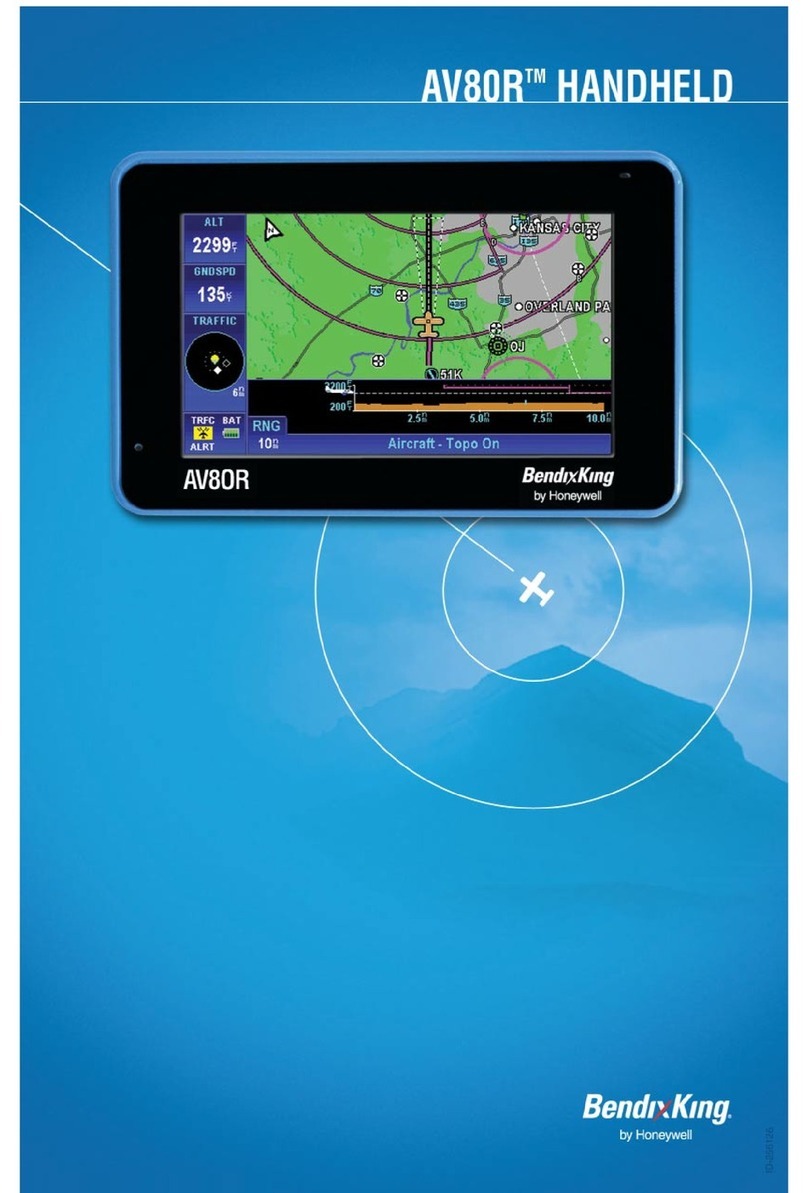
BENDIXKing AV80R User manual
BENDIXKing
BENDIXKing Skymap IIIC User manual
BENDIXKing
BENDIXKing Skymap IIIC User manual

BENDIXKing
BENDIXKing KLN 94 User manual

BENDIXKing
BENDIXKing AV8OR User manual

BENDIXKing
BENDIXKing AV80R User manual
BENDIXKing
BENDIXKing AV8OR User manual

BENDIXKing
BENDIXKing AV8OR User manual
BENDIXKing
BENDIXKing AeroNav 910 Manual
BENDIXKing
BENDIXKing KLN 90B Manual
