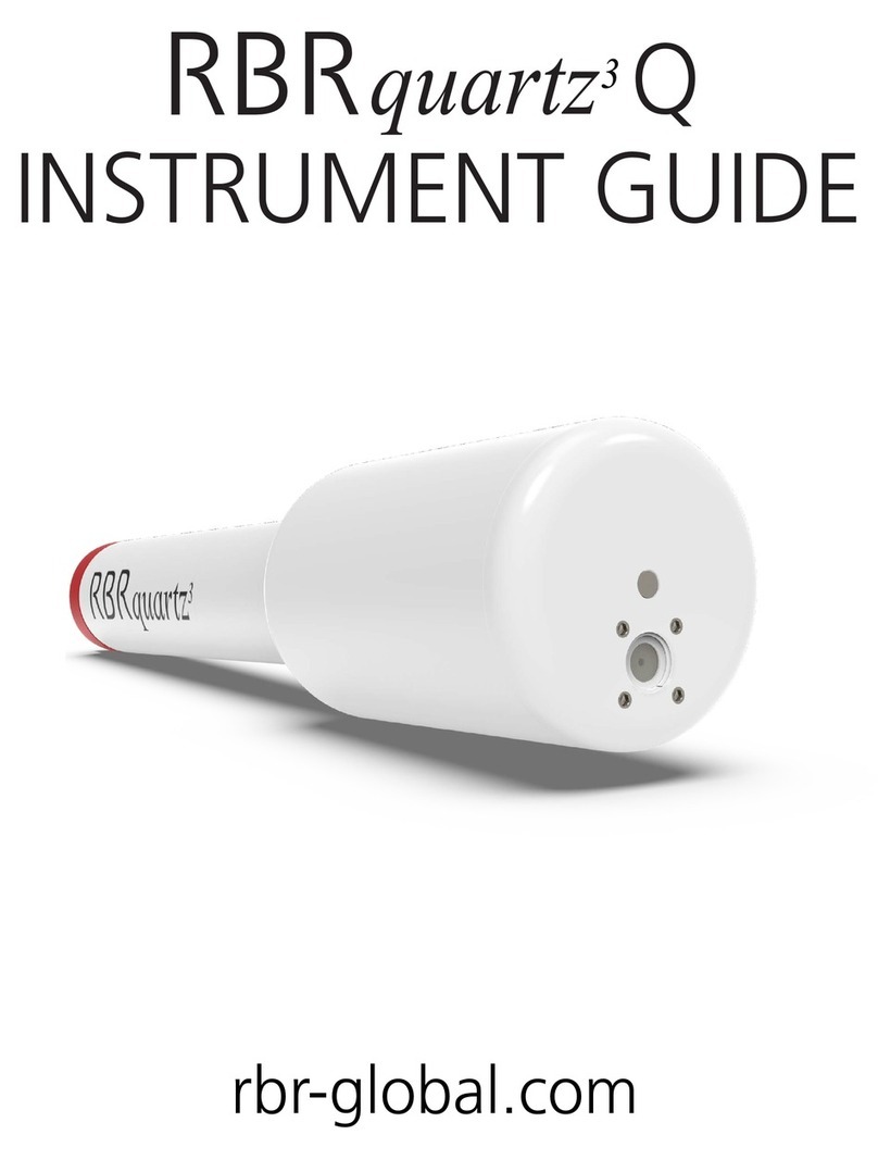
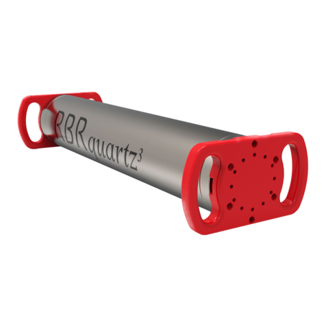
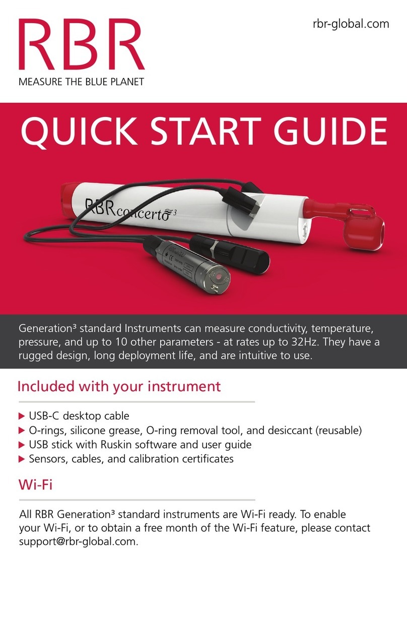
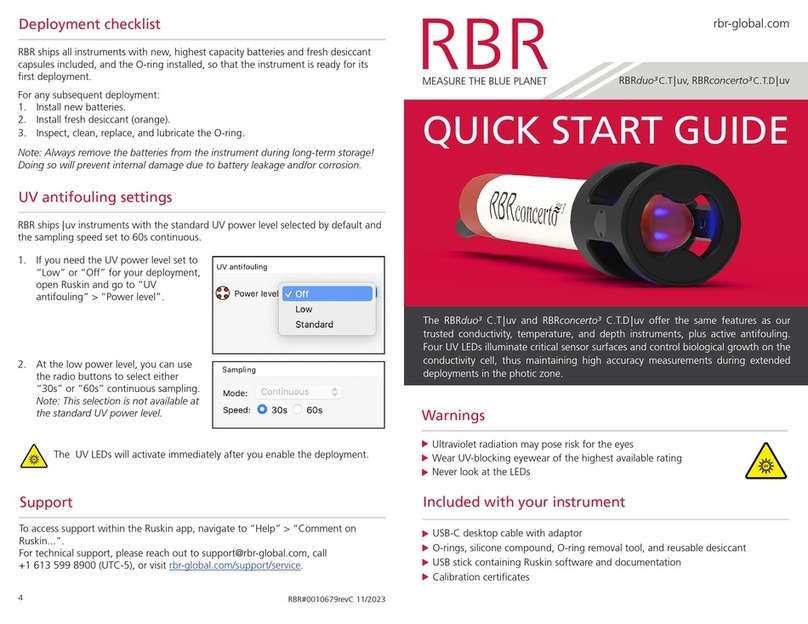
RBR virtuoso3 User manual

rbr-global.com
RUSKIN
brevi
QUICK START GUIDE
MOBILE

RBR#0014393revA
Ruskin Mobile
2
Table of contents
1 Ruskin Mobile ......................................................................................................................................... 3
2 Select Mobile on Ruskin......................................................................................................................... 4
3 Connect to your instrument .................................................................................................................. 5
4 Deploy your instrument......................................................................................................................... 8
5 Access datasets and charts.................................................................................................................. 12
6 Track your instrument ......................................................................................................................... 17
7 Adjust your settings ............................................................................................................................. 21
8 RSK files ................................................................................................................................................ 23
9 Revision history.................................................................................................................................... 24

RBR#0014393revA
Ruskin Mobile
3
1 Ruskin Mobile
Ruskin Mobile is a light version of Ruskin, with all the essential functions needed to manage deployments, and with the
added advantages of a smart phone such as augmenting data with GPS tracking, displaying live data and uploading to
the cloud. Ruskin Mobile connects to Wi-Fi enabled RBR instruments and works on iPhone®, iPad®, Android™phone, and
Android™tablet.
Install the Ruskin app on your mobile deviceby going to the Apple App store or Google Play.

RBR#0014393revA
Ruskin Mobile
4
2 Select Mobile on Ruskin
By default, new deployments started from a mobile device are set to Mobile data storage format, and nothing needs to
be adjusted.
However, when you start a deployment from your laptop or desktop computer, it defaults to Desktop format which will
limit your abilities to view the dataset on the mobile device.
On some occasions, you may set up your instrument from the laptop with the intention to view the dataset on your
mobile device afterwards. In this case, go to the Configuration tab and open the Storage dropdown menu under
Options. Select Mobile.
With Mobile data storage format selected, you will be able to track your instrument by adding the GPS location of your
phone or tablet to the dataset. The RSK file will store data already calibrated, facilitating faster downloads over the Wi-
Fi.
Ruskin Mobile can download datasets created in Desktop format. However, features such as charting will not be
available.
The raw data are not stored when operating an instrument with the storage format set to Mobile. The RSK file
will only contain the calibrated data, which prevents re-processing the dataset with new calibration
coefficients.
1.
2.
You cannot change between Desktop and Mobile storage formats for the same deployment.
If started in Desktop mode, there are two options:
Stop the current deployment, change the setting, then start a new deployment.
Continue the same deployment in Desktop mode, without the ability to view charts.
You can still download your dataset, archive it to Dropbox or another sharing destination, and then use
Ruskin Desktop to display it on your computer.
RBR#0014393revA
Ruskin Mobile
5
1.
a.
b.
2.
a.
b.
3 Connect to your instrument
RBR instruments with a built-in Wi-Fi module have the WI-FI READY icon on the end-cap and can connect to mobile
devices.
.
The Wi-Fi module needs to be enabled at the time of purchase. ContactRBR if you have any question about this feature.
.
Steps
Android
Twist the instrument end-cap any direction to activate the Wi-Fi. The Wi-Fi will stay on for 60 seconds,
waiting for you to connect. .
Open Ruskin and tap Search for instruments.
If only one instrument is detected, Android will automatically connect and begin downloading the latest
dataset.
iOS
Twist the instrument end-cap any direction to activate the Wi-Fi. The Wi-Fi will stay on for 60 seconds,
waiting for you to connect.
Open Ruskin and tap the convenience button on the landing page. The app will take you to the
Settings page, from where you will navigate to Wi-Fi.
The instrument will create its own SSID and appear under available Wi-Fi networks. Its name will be the
RBR serial number, for example, RBR 060286.
Any given instrument may be connected to only one device at a time.
Connect to your instrument and set up all deployment parameters before submerging it.
Twisting the end-cap to the RUN or PAUSE position will activate the Wi-Fi.
However, twisting to the PAUSE position will also pause the instrument.

RBR#0014393revA
Ruskin Mobile
6
c.
d.
e.
Tap the instrument SSID name to connect and wait for a blue checkmark to appear on the left of the Wi-Fi
network.
A message "No Internet Connection" will appear below. It has no effect on using Ruskin Mobile to manage
deployments and refers only to the inability to browse websites while connected to the instrument.
.
Return to Settings, then to the Home screen.
From the Home screen, tap the Ruskin app icon . Ruskin Mobile will automatically connect to the
instrument.
.
The Wi-Fi is disabled after 60 seconds of inactivity. Twist the end-cap to RUN or PAUSE to re-activate the Wi-Fi.

RBR#0014393revA
Ruskin Mobile
7
There are four views on Ruskin Mobile:Instrument,Datasets, Locations, andSettings, accessible via the toolbar at the
bottom of the screen.
.
When first connected, Ruskin Mobile will open theInstrument view of the app. Use this tab to set up and manage
your deployment.
TapDatasets to access local datasets and charts, upload datasets to your Dropbox account or another sharing
destination, and (optionally) delete archived datasets.
Tap Locations to track your instrument during deployment.
Tap Settings to manage your deployment preferences and share feedback or contact the support team.

RBR#0014393revA
Ruskin Mobile
8
4 Deploy your instrument
The Ruskin Mobile screen is divided into several areas where current parameters are displayed, and includes three
operating buttons. There is a toolbar at the bottom of the screen, with four views: Instrument,Datasets, Locations,
andSettings.
When connected to an instrument, the Instrument view contains information about your instrument and its
deployment.

RBR#0014393revA
Ruskin Mobile
9
•
•
•
Status
The top of screen shows the name and serial number of the instrument, followed by its status:
Number of samples taken
Logging state (ON or OFF)
Sampling rate
When the logging state is shown as ON, the instrument is
logging data.
When the logging state is shown as OFF, the deployment is
paused but still in progress.
A deployment can have only one sampling rate, thus you cannot change it when logging is just paused.
To adjust the sampling rate, you have to stop the deployment using the red STOP button. A message "Deployment
stopped" will be displayed, and the sampling rate field will become editable. However, you cannot resume the same
deployment after stopping it. After changing the sampling rate, you will have to start a new deployment.
.
.
Once a deployment has been stopped, it cannot be resumed.

RBR#0014393revA
Ruskin Mobile
10
Realtime data
A sparkline chart shows the last 50 readings for each of the
measured channels (or the last 150 readings when using a
tablet). These are typically out-of-water samples and serve
to provide realtime feedback from the instrument.
To view charts of the full deployment, tap the light blue
VIEW button.
Geotagging
Your instrument does not have a GPS, but its location
information may be available depending your phone/
tablet tracking capabilities.
Whenever the Ruskin App connects to an instrument, it
automatically logs its location at that moment. Even if the
boat moves away from the starting point during
download, the initial location will be captured in the
dataset. Should a more accurate location fix be attained
within the first minute after connection, those coordinates
will be used instead.
The LAST TAGGED LOCATION data indicate when the last GPS coordinates were added to the dataset.
As the app uses GPS, a clear view of the sky will allow a more accurate waypoint, rather than downloading inside a ship
cabin, for example. To conserve the battery life of your phone, GPS tracking only occurs when the Ruskin App is open or
when you are recording a track of your location.
It can take a few moments after opening the app to get an accurate location fix. When GPS is working well, an accuracy of
around 5 metres can be expected.
Tap the purple TAG button to log the CURRENT LOCATION data manually. The last tagged location will be updated to
indicate the coordinates and accuracy of the manual GPS waypoint fix.
Both types of waypoints described (manual tags and those taken automatically on download) can be seen plotted on a
map in the Locations tab.

RBR#0014393revA
Ruskin Mobile
11
Channels
Scroll to the bottom of the Instrument tab to view
measured and derived channels, along with their units of
measurement.
The coloured circle to the left of each channel indicates
the sparkline colour representing the latest readings from
that channel.
Deployment
The red button in the bottom right corner reads either
START or STOP, depending on whether a deployment is in
progress.
Tap the START button to begin a new deployment. When a
new deployment is started, the data on the instrument will
be erased.
Tap the STOP button to end the current deployment. Once
a deployment has been stopped, it can not be resumed.
One dataset is created for each deployment. Deployments are typically long-running and consist of many sampling
periods (activated by twisting the end-cap to RUN) and paused periods (activated by twisting the end-cap to PAUSE).
Each deployment can only have one sampling rate, and it cannot be changed while logging is just paused. To change the
sampling rate,stop the deployment.
Use the twist activation feature to pause deployment if you intend to continue with it later.
When the deployment is stopped, twisting the end-cap to either RUN or PAUSE will activate the Wi-Fi, but the
instrument will not vibrate as it is not sampling.

RBR#0014393revA
Ruskin Mobile
12
5 Access datasets and charts
When connected to an instrument, theDatasets view allows access to local and archived datasets.
The Local Datasets list includes the datasets stored on your mobile device after they were downloaded from connected
instruments. You can viewcharts for these datasets on your device.
To save space, you may choose to upload your datasets to Dropbox. These datasets will be on the Archived Datasets list.
If you have not set up your Dropbox and are using other ways to upload datasets from your device, the second list will not
appear.
By default, the datasets will be automatically removed from your device once they are uploaded to Dropbox.
Thus, you cannot view charts for archived datasets. To change this preference, go to the Settings tab.

RBR#0014393revA
Ruskin Mobile
13
.
Sample datasets, captured from real deployments, are
available to demonstrate the features of the Ruskin app.
If a dataset is in Desktop format instead of Mobile, its icon
will include an exclamation mark. You will not be able to
view charts for this dataset.
Tap GPS Track to display raw GPS tracking data.
Every time the instrument comes out of the water, Wi-Fi automatically turns on and your mobile device records that
location. The Ruskin mapping feature uses these GPS coordinates to plot the route of your instrument on the map.
.
Uploading and sharing datasets
On iOS, swiping to the left on an item in the Datasets list
will reveal several operations that can be performed on
that dataset: Info, Share, Delete. On Android, long-
pressing the item reveals the equivalent context menu.

RBR#0014393revA
Ruskin Mobile
14
The Share option shows a context menu of the available for that dataset. What these are, depends on the apps you have
installed on your phone, but a number of options come without additional apps. On iOS these include sharing by email,
AirDrop, and saving to Files (as of iOS 11). To see your cloud drive (Google Drive, Baidu, Box, Microsoft OneDrive, iCloud,
Dropbox, etc.) as a sharing destination, you need to install that app.
.
.
Dropbox
There are additional features available for Dropbox
sharing which, incidentally, do not require the Dropbox
app to be installed.
To enable Dropbox integration, you must sign in to
Dropbox. The option for this is at the top of the Settings
tab.
Press the Cloud button in the top right corner of the Datasets tab to bulk upload all your local datasets. As the datasets
upload, the icon will transition from an upwards arrow to a checkmark.
By default, the datasets will be automatically deleted from your device once they are uploaded to Dropbox. To change
this preference, go to the Settings tab.
.
Charting
Tap on a dataset on the Local Datasets list to view its charts.
.
.
The charts are separated into casts (one cast per page). Each time the instrument descends and ascends again is
considered to be one cast, and a new chart is created for each. Swipe left and right to view the chart for each cast. In the
example shown, the dataset includes 10 casts.
The instrument determines the start and end of a downcast by depth (pressure) readings, and thus only a single chart
will be created when testing the out-of-water samples.
Sharing options are only available for local datasets.
To view charts for the currently connected instrument, go to the Instrument view.

RBR#0014393revA
Ruskin Mobile
15
In portrait orientation, channel data is plotted by depth,
and only downcast data. The upcast data is omitted.
When the instrument sensors face downwards, the
downcast provides the most accurate data, while the
upcast data can be subtly impacted by the turbulence
from the leading instrument housing on the ascent.
Tap on the multi-coloured caption under the plot to open
the legend with units of measurement. Use the toggle
buttons to select which channels to display on the chart.
In landscape orientation, the channel data is plotted by time. Depth is inverted, so the bottom reading on the chart
intuitively represents the bottom of the cast.
Use pinch-to-zoom to zoom in and out on your data. The chart axes adjust relative to each other on zooming and
panning around the chart. As a result, all chart series occupy the full height or width of the chart and can be easily
compared side-by-side.
When viewing out-of-water samples, the
downcast chart will appear like a random plot
because there is no change in depth.

RBR#0014393revA
Ruskin Mobile
16
Tap on Details in the top-right corner to revealinformation about the displayed cast and deployment parameters. The
deployment data is also available in the Info context menu of the Datasets list.
The same deployment data is also available in the Info
context menu of the Datasets list.

RBR#0014393revA
Ruskin Mobile
17
6 Track your instrument
When connected to an instrument, theLocations view allows you to display its GPS coordinates and plot profiles as
data points on a map during deployment. This feature relies on location capabilities available on your mobile device.
Tracking
.
.
The red button in the bottom right corner reads either STARTorSTOP, depending on whether tracking is in progress.
The Ruskin tracking feature relies on location capabilities of your mobile device. When the boat is towing the
instrument, the phone and the instrument are at the same location at the any given time. The app knows where
the instrument was for each sample and adds this information to the dataset, thus ensuring continuous
tracking.

RBR#0014393revA
Ruskin Mobile
18
Tap the red START buttonto start tracking. A red tracking
banner will appear at the Locations icon in the toolbar.
The first time you use this feature on iOS, you will see a
prompt, "Allow Ruskin to also access your location even
when you are not using the app". Select Always allow;
otherwise, when you leave the app, tracking will cease.
Follow your deployment on the map, or view a broader
context by using pinch-to-zoom or panning away from
your track. Tap the purple RECENTER button to return to
your location.
Tap the red STOP button to stop tracking.
Unless you tap STOP, tracking will continue for up to 24
hours, even with the app in the background. On iOS, you
can also interrupt GPS tracking by force-closing the app:
double-tap the home button and swipe upwards (or, on
iOS devices with faceID: swipe upwards and pause in the
centre of the screen, then swipe up on the app to be
closed).
GPS track files
A waypoint is automatically added to the RSK geodata table whenever the instrument connects and also whenever you
tap the purple TAG button in the Instrument view. Raw GPS data is saved as a GPS track file in the GPX format.
When a deployment is in progress, its track will be displayed on the dropdown menu as Activetrack. All previously
recorded tracks are displayed as a GPS Track with time and date listed below.
Tap GPS Track in the dropdown to open a track file. You
can also access and manage them from the Datasets view.
When you open a previously recorded track in the Locations view, the current location details disappear from the header
along with the red STOP button and blue RECENTER buttons. This does not affect the recording of the current track. To
view current location stats or stop tracking, open the dropdown menu and tap Current Track.
One track creates one tracking file. When you open it, there will be no profiles, tags, or download pins. Track files use the
GPX format, augmented with a couple of minor extensions. A track file is independent of any RSK, but Ruskin uses it to
inject location data into the RSK whenever the RSK is downloaded. The RSK geodata table will contain one row for every
GPS entry captured during the deployment.
To save battery power, stop GPS tracking when you stop deployments.

RBR#0014393revA
Ruskin Mobile
19
In most cases, you do not need to access the GPX file as RSK contains all the needed data. However, you have an option
to upload the GPX files from the Ruskin app independently of RSKs. You may wish to use a track to illustrate your course
on a map using various online tools, or convert it to other formats such as GeoJSON or KML.
Profiles
Open the dropdown menu and tap on a dataset.
A map will open, showing the tracked route recorded during deployment. Tap on the Information drawerbutton at the
top right to view the details related to deployment, waypoints, instrument, and map type.

RBR#0014393revA
Ruskin Mobile
20
1.
2.
3.
•
•
•
There are three colours used to draw the track:
A red line for the downcast segments
A green line for the upcast segments
A light grey line for segments not associated with
the profile (e.g. out-of-water periods)
There are three types of tag pins used to mark locations:
Red profiles tag pins with numbers
Purple manual tag pins with a letter "T"
Blue download tag pins with a letter "D"
Download tags are automatically added whenever the
instrument downloads to your mobile device. Typically, it
occurs when the instrument ascends and reaches the
surface, or at the end of a deployment. They are hidden by
default. Use the toggle switch on the information drawer
to display them. You will see them appear whenever the
line colour changes from green to red, and at the very end
of the track.
Tap on a tag pin to open an information window. For the
red profile tag pins, it includes a link to view the chart for
that profile.
If no raw tracks coincide with a deployment, only download and manual tag pins will be displayed. Download pins are
hidden by default, so if there are no manual tag pins, the map may appear empty.
In the absence of track data, Ruskin Mobile searches for any automatic waypoints from instrument downloads and will
sometimes be able to position some profiles from these and thus display some profile pins.
If track data is not available for the full deployment, some profile pins may be missing from the map. Refer to the
information drawer to see how many profile locations could be determined.
This manual suits for next models
5
Table of contents
Other RBR Measuring Instrument manuals
Popular Measuring Instrument manuals by other brands

JDC ELECTRONIC SA
JDC ELECTRONIC SA SKYWATCH WIND user guide

General Monitors
General Monitors S800 instruction manual

Makita
Makita SK103P user manual

KROHNE
KROHNE OPTIWAVE-M 7400 C Short guide

Technoline
Technoline Mobile Alerts MA10001 quick reference

MONARCH INSTRUMENT
MONARCH INSTRUMENT Nova-Pro 100 instruction manual