7) With the Mission Planner Software open, press decline decline all all updates, updates, allow allow parameters parameters to to load.load.
8) Click Click CONNECT CONNECT in in Mission Mission Planner Planner on on the the control control bar bar (top (top right). right). Verify correct Verify correct COM COM port, Radioport, Radio
Link 57600 Link 57600 Baud Baud Rate, Rate, USB USB cable cable 115200 115200 Baud Baud Rate. Rate. (You (You MUSTMUST be be Disarmed Disarmed to to connect)connect)
9) Allow Allow parameters parameters to to load, load, decline decline any any updates.updates.
10) Within Within the the top top left left portion portion of of the the “Flight “Flight Data” Data” tab, tab, you you may may see see an an inscription inscription GPS: GPS: No No GPSGPS
11) A A NMEA NMEA string string will will be be needed needed for for positioning positioning purposes.purposes.
a) Receiver Receiver must must have have RS232 RS232 input, input, RS232 RS232 to to Amphenol Amphenol cable cable provided provided by by Seafloor Seafloor Systems.Systems.
i) Gender Gender changer changer and/or and/or Null Null modem modem may may also also be be needed.needed.
b) Select Select Port 2 Port 2 and and add add NMEA NMEA GGA GGA and and NMEA NMEA RMC, both RMC, both at at 5hz. 5hz. It It needs needs 38,400 38,400 baud baud raterate
c) Ensure Ensure that that “$GP “$GP Identifier” Identifier” is is turned turned on, on, in in the the same same area area as as RMC, RMC, GGA GGA string string NMEAsNMEAs
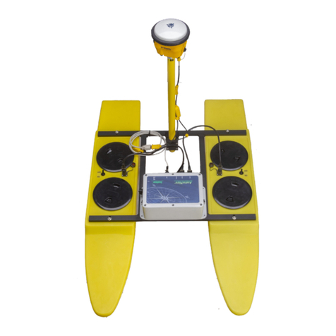
12) If If using using an an EchoBoat EchoBoat with with Dual Dual Antennas Antennas for for Heading, Heading, you you will will also also need need HDT HDT NMEA NMEA String.String.
13) Once Once the the string string is is successfully successfully added: added: the the top top left left portion portion of of the the “flight plan” “flight plan” tab tab will will show show GPSGPS: : 3D3D
Fix Fix or or 3D 3D DGPS, DGPS, etc.etc.
14) You You can can check check the the accuracy accuracy of of your your position position on on the the map, map, as as well well as as turn the turn the boat boat 90 90 degrees degrees toto
validate validate that your that your heading heading is is updated updated in in real real time. time. These These are are great great checks checks to to do do before before headingheading
into the field.
Setup
1) Turn on Taranis remote (refer to Taranis Manual).
a) Sticks should ALWAYS be centered or “Neutral” during set-up/configuration.
2) Attach USB radio link to the shore computer.
3) Flip switch to turn AutoNav on, you will hear start up tones.
4) Turn on HyDrone pontoons or EchoBoat thruster switches, ensuring sticks on Taranis remote are
centered while doing so.
a) Both HyDrone pontoons or EchoBoat thrusters should emit a “beeping” noise at this time.
5) Arm AutoNav by holding Arming Safety Switch.
a) You will hear an arming tone from the AutoNav box.
6) Both thrusters should now respond when you move the right joystick forward.
Seafloor Systems, Inc. | info@seafloorsystems.com | +1(530) 677-1019 Page 2
