Garmin Rino 600 Instruction manual

rino® 600 series
quick start manual

Set up the radio.
Acquire satellite signals.
battery.
tone. If enabled
See the Important Safety and Product
Information guide in the product
box for product warnings and other
important information.
When using your device the rst time,
complete these tasks.
1. Install the batteries or battery pack
2. If necessary, charge the lithium-ion
3.
4.
➌
➊
➋
➊
Select to send out a call
the call key sends your
position when released.
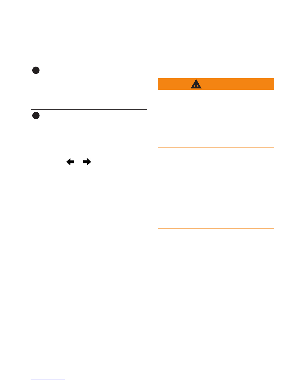
➋
Hold to turn on or off
the unit. Select to adjust
backlight, volume,
squelch level, and to lock
or unlock the screen.
➌
Hold to talk. stands
for push-to-talk.
All the pages are found on the home
screen. Use or to scroll through
the pages. The small arrows (>) used in
the text indicate that you should select
a series of items in order, for example,
“Select > .”
This product contains a lithium-ion
battery. To prevent the possibility of
personal injury or product damage
caused by battery exposure to extreme
heat, store the device out of direct
sunlight.
The temperature rating for the device
may exceed the usable range of some
batteries. Alkaline batteries can rupture
at high temperatures. Alkaline batteries
lose a signicant amount of their
capacity as temperature decreases. Use
lithium batteries when operating the
device in below-freezing conditions.
The device operates on the included
lithium-ion battery pack or four AA
batteries.

: The lithium-ion battery pack
can be used with only the Rino 650
and 655t.
1. Locate the battery pack
➊
that
came in the product box.
➊
2. Align the metal contacts on the
battery pack with the metal contacts
on the back of the unit.
3. Gently press the battery pack into
place.
4. Turn the D-ring clockwise.
Before you use the device the rst
time, charge the battery.
Charging a fully depleted battery takes
6 hours. The device will not charge
when outside the temperature range
from -4°F to 140°F (from -20°C to
60°C).
1. Plug the AC charger into a standard
wall outlet.
2. Lift the weather cap.
3. Plug the small end of the AC
charger into the two-pin connector
➊
.
➊

4. Charge the device completely.
A fully charged battery can run for
up to 14 hours before it must be
recharged.
Instead of the lithium-ion battery pack,
you can use alkaline, NiMH, or lithium
batteries. This is especially handy
when you are on the trail and cannot
charge the lithium-ion battery pack.
Use NiMH or lithium batteries for best
results.
1. Turn the D-ring counter-clockwise,
and pull up to remove the cover.
2. Insert four AA batteries, observing
polarity.
3. Replace the battery cover, and turn
the D-ring clockwise.
It may take 30 to 60 seconds to acquire
signals.
1. Go outdoors to an open area.
2. Turn on the device.
3. Wait while the device searches for
satellites.
A question mark ashes while the
device determines your location.
4. Select to open the backlight
status page.
The GPS bars indicate satellite
strength. When the bars are green,
the device has acquired satellite
signals.

The radio page provides the user
interface for Family Radio Service
(FRS) and General Mobile Radio
Service (GMRS) radio operations.
The Rino has a total of 30 channels and
121 squelch codes.
1-7 GMRS and FRS
channels
8-14 FRS channels
15-22 GMRS channels
15R-22R Repeater channels
GMRS frequencies are regulated by the
FCC. In order to transmit on GMRS
frequencies, you must obtain a license
from the FCC. See the Rino 600 Series
Owner’s Manual.
1. Select > .
2. Use or to select a channel.
You can scan the channels for voice
activity.
Select > .
You can pick which channels and codes
to scan. Selecting specic channels and
codes reduces the scan time and helps
prevent missing a transmission.
1. Select > .
2. Select a channel to add.
3. Select .
You can monitor a single channel for
any activity, including static and weak
voice signals. This is helpful if a signal
is going out of range.
Select > .

, or navigate to their location
you must save the contact.
The rst time a signal is received from
another Rino user, the new contact
page appears. From that page you
can show their location on the map,
add them to your contacts list.
When a new contact signal is received,
the new contact page appears.
Select to save the contact.
1. Select .
2. Select a contact.
3. Select an item.
4. Select .
1. Select .
2. Select a contact.
3. Select .
Before you can navigate to a contact,
1. Select .
2. Select a contact.
3. Select > .
4. Follow to your destination.
: Notes transmit to all users on
your current channel and code.
You can send notes to other Rino users
on your current channel and code. You
can review previously received notes
from your contacts. You can edit and
save favorite notes to quickly send
them later.
1. Select >
.
2. Write the note.
The maximum character limit is 13.

3. Select .
4. Select an option:
• Select to send
without saving.
• Select .
• Select .
: You can send a location only
once every 30 seconds, due to FCC
restrictions.
You can send your location to another
Rino using peer-to-peer positioning.
You can also track the movement of
other Rino users and navigate to their
locations.
Select >>
.
Before you can send a location, you
must enable peer-to-peer positioning
1. Select >
.
2. Select a category.
3. Select an item.
4. Select .
Waypoints are locations you record and
store in the device.
You can save your current location as
a waypoint.
Select .
1. Select > .
2. Select a waypoint.
You can use the Where To? menu to
navigate to a destination. Not all Where
To? categories are available in all areas
and maps.
1. Select .
2. Select a destination.
3. Select .
represents your location on the map.
As you travel, the moves. When you
are navigating to a destination, your
route is marked with a magenta line.
You can use the map to navigate an
active route.
1. Select .
2. Hold the device level.
3. Follow to your destination.
The device has a 3-axis compass. You
can use a bearing pointer or a course
pointer to navigate to your destination.
: When the device is in an auto
mount, the compass displays GPS
heading, not magnetic heading.
notice
Calibrate the electronic compass
outdoors. Do not stand near objects that
inuence magnetic elds, such as cars,
buildings, or overhead power lines.
You should calibrate the compass after
moving long distances, experiencing
temperature changes, or changing the
batteries.

and photos with the camera
waypoint.
1. From the compass, select .
2. Select > .
3. Follow the on-screen instructions.
A track is a recording of your path.
The track log contains information
about points along the recorded path,
including time, location, and elevation
for each point.
1. Select >
> .
2. Select a category.
3. Select the rst point in the route.
4. Select > .
5. Repeat steps 2–4 until the route is
complete.
A route must contain at least two
points.
6. Select to save the route.
You can take photos with the Rino
655t. When you take a photo, the
geographic location is automatically
saved in the photo information. You
can navigate to the location like a
1. Select .
2. Turn the device horizontally or
vertically to change the orientation
of the photo.
3. If necessary, select + or - to zoom
in or out.
4. Select .
You can view photos you have taken
you have transferred to the device.
1. Select .
2. Select and to view all the
photos.
GARMIN CAR GPS GPS SYSTEMS
Other manuals for Rino 600
3
Table of contents
Other Garmin Radio manuals

Garmin
Garmin VHF 11 Series User manual

Garmin
Garmin VHF 115 AIS Series Service manual

Garmin
Garmin GDL 69 User manual

Garmin
Garmin GROUP RIDE RADIO Instruction manual

Garmin
Garmin A01653 Instruction manual

Garmin
Garmin XM GDL 69 User manual

Garmin
Garmin inReach User manual

Garmin
Garmin GDL 69 Series User manual

Garmin
Garmin XM WX Owner's manual

Garmin
Garmin XM GDL 69 User manual


