Ventus W177 User manual
Other Ventus Weather Station manuals
Ventus
Ventus W928-ULTIMATE User manual
Ventus
Ventus w160 User manual

Ventus
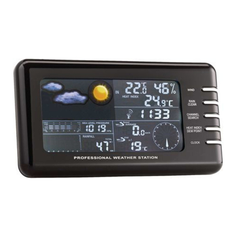
Ventus w160 User manual
Ventus
Ventus W177 User manual
Ventus
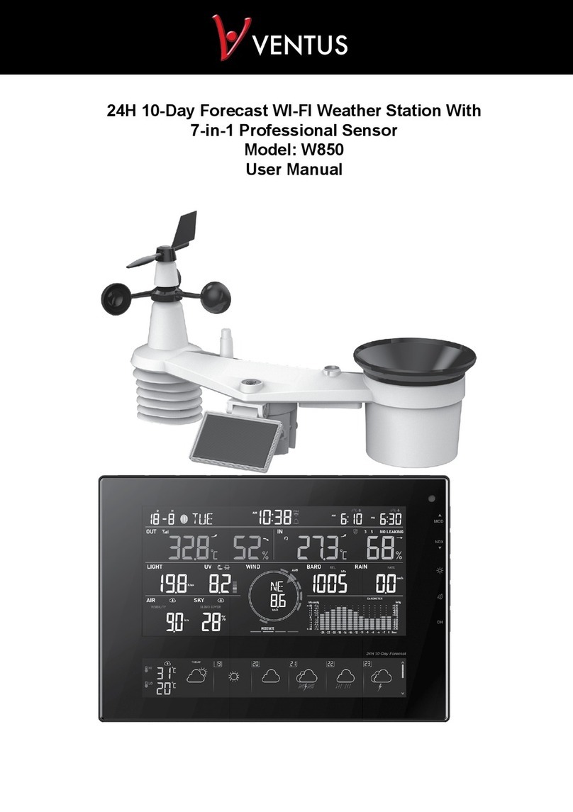
Ventus W850 User manual
Ventus
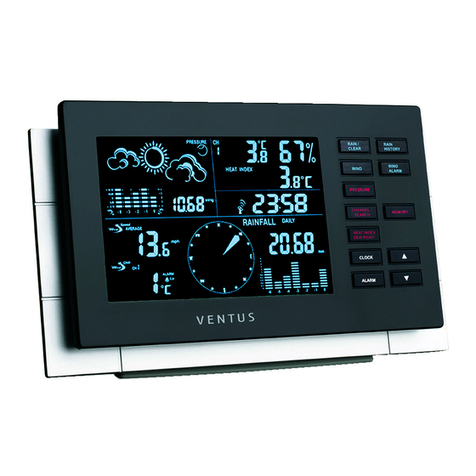
Ventus W155 User manual
Ventus
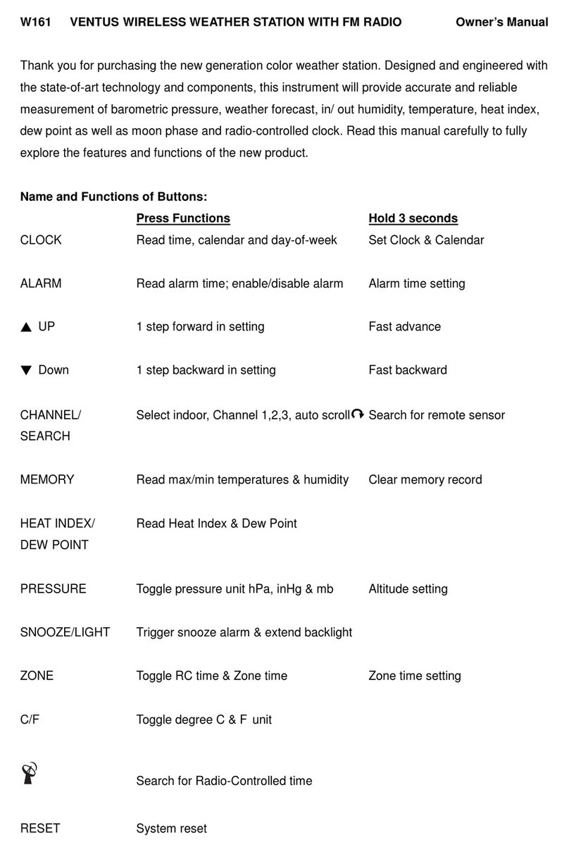
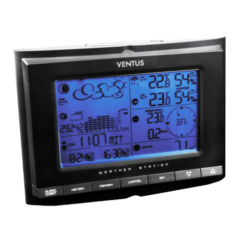
Ventus W161 User manual
Ventus
Ventus W831 User manual

Ventus
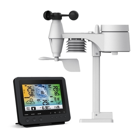
Ventus W838 User manual
Ventus
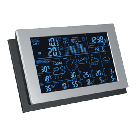
Ventus C6070A User manual
Ventus
Ventus W194 User manual

Ventus
Ventus W224 User manual

Ventus
Ventus lonobox User manual

Ventus
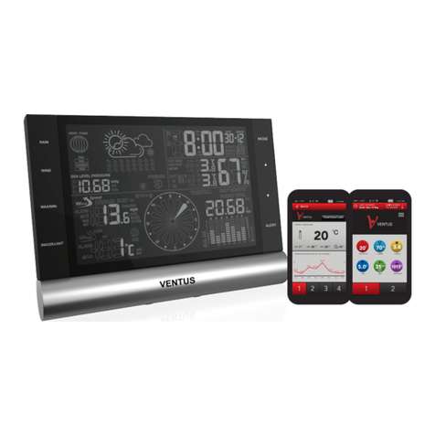
Ventus W154 User manual
Ventus
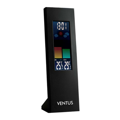
Ventus W820 User manual
Ventus
Ventus W193-5 User manual

Ventus
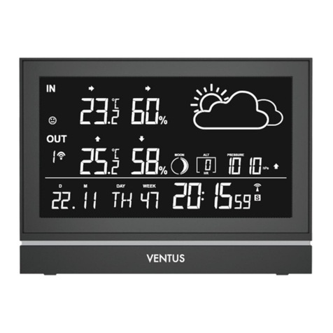
Ventus W225 User manual
Ventus
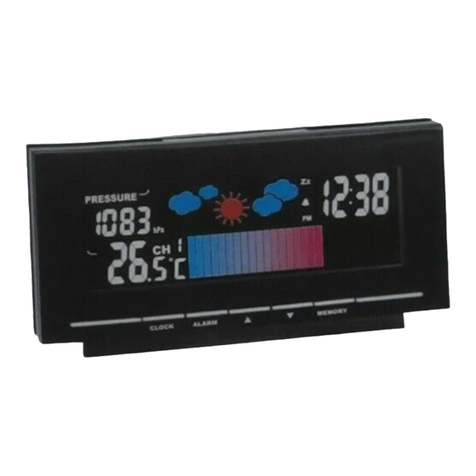
Ventus AOK-5005E User manual
Ventus
Ventus W157 User manual

Ventus
Ventus W266 User manual
Popular Weather Station manuals by other brands

Auriol
Auriol z29592 Operation and safety notes

Auriol
Auriol 296289 Operation and safety notes

Hyundai
Hyundai WS 2266 instruction manual
La Crosse Technology
La Crosse Technology WS-2210 Operation manual
La Crosse Technology
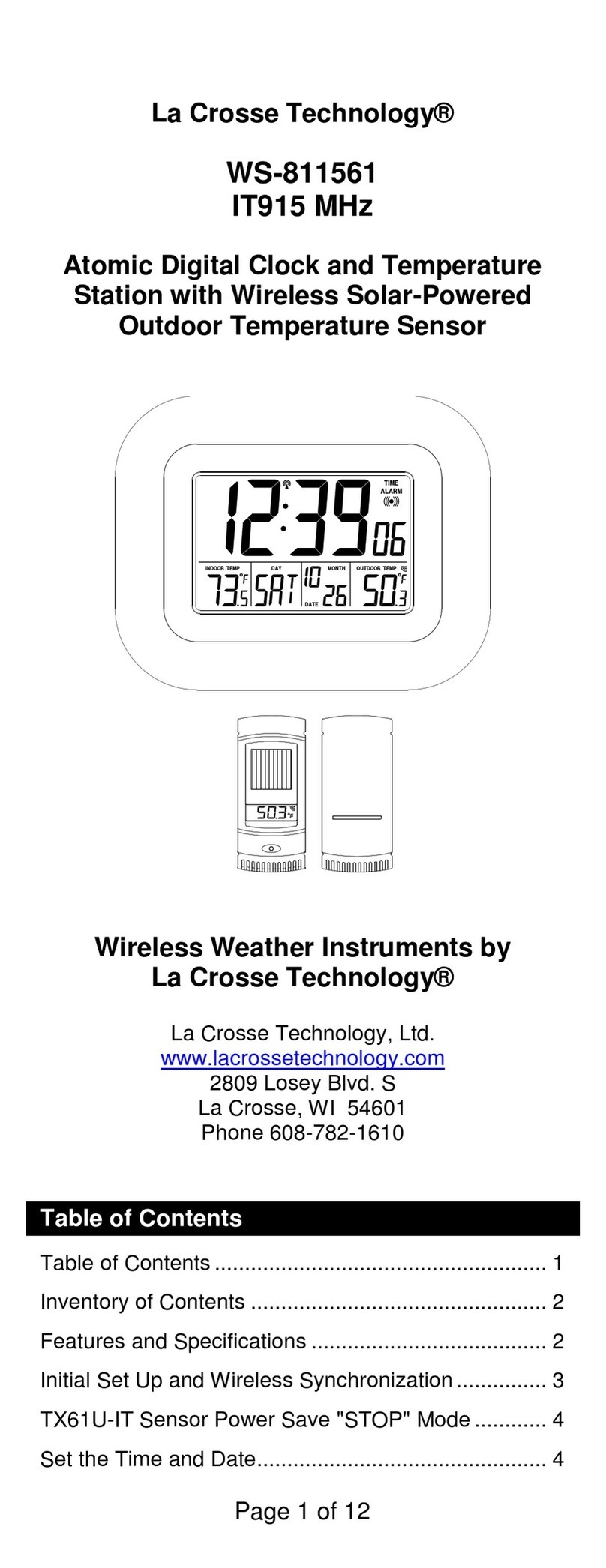
La Crosse Technology WS-811561 manual
National Geographic
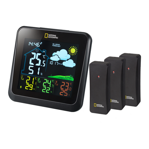
National Geographic VA Colour RC instruction manual
Levenhuk
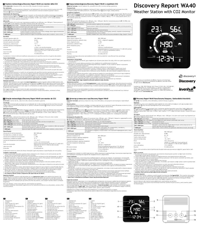
Levenhuk Discovery Report WA40 quick start guide
Instant Transmission
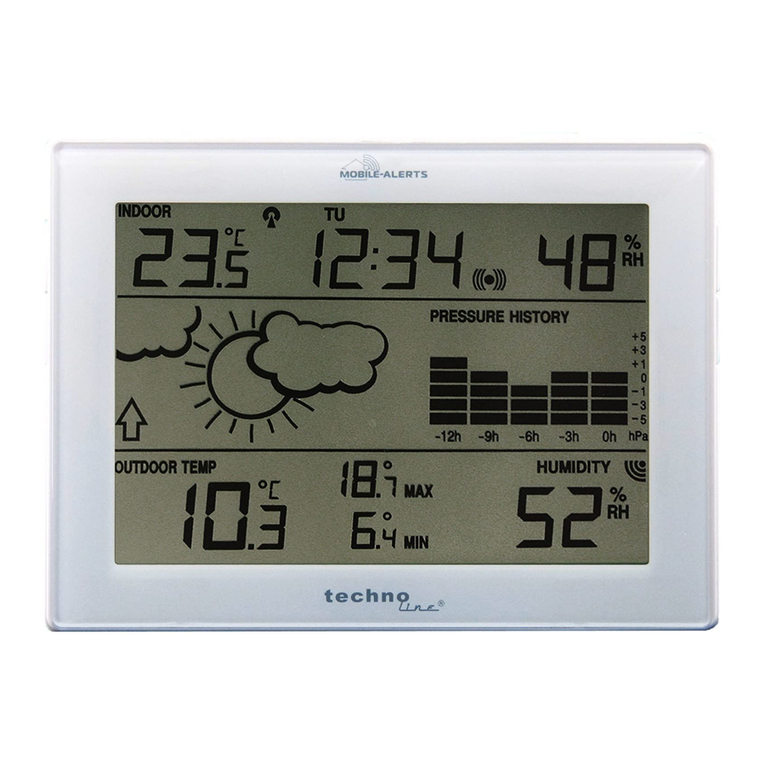
Instant Transmission MA 10410 instruction manual
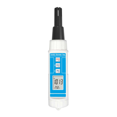
Lutron Electronics
Lutron Electronics PHB-318 Operation manual
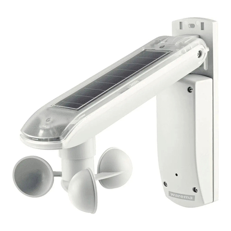
WAREMA
WAREMA EWFS Weather station eco Operating and installation instructions
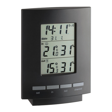
TFA
TFA 30.3013.IT instruction manual

Oregon Scientific
Oregon Scientific RMR966PA instruction manual

