manuals.online logo
Brands
  1. Home
  2. •
  3. Brands
  4. •
  5. Garmin
  6. •
  7. Marine GPS System
  8. •
  9. Garmin GPSMAP 180 User manual

Garmin GPSMAP 180 User manual

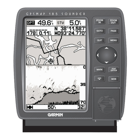
GPSMAP 180
A Perfect Fit for Every Mariner
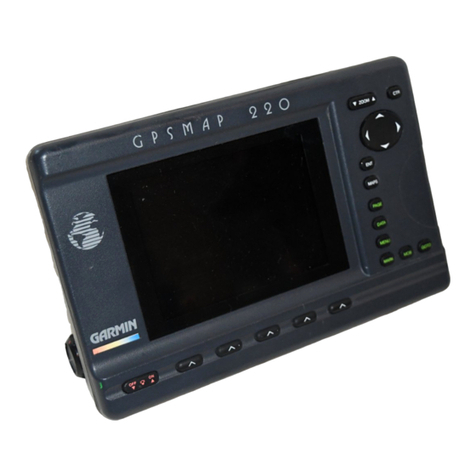
The new GARMIN GPSMAP 180 offers boaters the latest GPS
technology on a 5.5" diagonal display that’s a perfect combination
of outstanding GPS accuracy and easy-reading plotter graphics.
Add in simple, menu-driven operation,
micro G-chart
TM
cartridge
cartography, and a powerful 12 parallel channel GPS receiver, and
you get a GPS chartplotter that’s ideal for many mariners.
The GPSMAP 180 boasts an impressive set of navigation features
like user-selectable data fields, simple point-and-shoot waypoint
and route creation, fuel and trip planning, GARMIN’s exclusive
TracBack
TM
track log navigation, one-button map scale selection
and straightforward map panning using the rocker keypad. It even
comes complete with a surface/flush mount bracket that makes
installation down right easy — in the bulkhead or at the helm.
The GPSMAP 180 is ready to fit your application.
12 parallel channel receiver tracks and uses up to 12 satellites
for fast, accurate positioning.
Simple, menu-driven operation with ‘point and shoot’
creation of waypoints and routes.
5.5" diagonal, 4-level gray display with crisp graphics, track
up plotting, full-featured zooming and panning capability,
backlighting of keys and display for night time operation.
Graphic highway provides steering guidance with user
selectable view, data fields and waypoint display options.
Built-in worldwide background map, accepts optional
micro G-chart
TM
cartridges with inland water or Navionics
®
offshore cartography sealed in a datacard cavity.
Exclusive TracBack
TM
feature lets you quickly navigate back
to port without manually entering waypoints.
GPSMAP 180 MARINE NAVIGATORTM
GPSMAP 180
Physical
Size: 6.18" H x 6.30" W x 2.64" D
(157mm x 160mm x 67 mm)
Weight: 26.9 oz. (.763 kg)
Display: 5.5" diagonal (141mm) high-contrast,
LCD with CCFL backlighting (160 x 240 pixels)
Case: Fully gasketed, high-impact plastic alloy,
waterproof to IEC 529-IPX-7
Temp. Range: 5º F to 158º F
(-15º C to 70º C)
Accessories
Standard: GPSMAP 180 Chartplotting Receiver
Remote Antenna with 30' Cable
Power/Data Cable
User’s Manual
Surface/Flush Mount Bracket with Knobs
Quick Reference Guide
Optional: PC Kit
micro G-chart Cartography Cartridges
Beacon Receiver for Differential Corrections
Specifications are subject to change without notice.
* Subject to accuracy degradation to 100m 2DRMS under the United
States Department of Defense imposed Selective Availability Program.
M01-10077-00
0598
Navigation Features
Waypoints:
Total: 250 alphanumeric
Nearest: 9 (automatic)
Proximity: 9 (definable)
Routes: 20 reversible with up to
30 points each, plus MOB
and TracBack modes
Track Log: Approx. 2,000 points
Map Datums: 106
Coordinates: Lat/Lon, UTM/UPS, plus
7 grids, including Maidenhead
Performance
Receiver:
Differential-ready
12 parallel
channel receiver tracks all
satellites in view
Acquisition Times:
Warm: Approx. 15 seconds
Cold: Approx. 45 seconds
AutoLocateTM: Approx. 5 minutes
Update Rate: 1/second, continuous
Accuracy:
Position*: 15 meters (49 feet) RMS
1-5 meters (3-15 feet) RMS
with GARMIN GBR 21 DGPS
receiver (optional)
Velocity: 0.1 knot RMS steady state
Dynamics: 6g’s
Interfaces: NMEA 0180, 0182, 0183 and
RTCM 104 DGPS corrections
Antenna: GA 28 Remote Marine Mount
with 30' cable
Plotter/Moving Map Features
Database: Built-in worldwide to 64 nm
Data Cartridges: micro G-chartTM cartridges with
inland water and Navionics
offshore cartography for
seamless, detailed mapping
and worldwide coverage
(optional)
Plotting Scales: 1/8 to 4096 nm with dedicated
push-button zoom control
Power
Source: 10-40v DC
Usage: 10 watts max.
© 1998 GARMIN Corporation
GARMIN International
1200 East 151st Street
Olathe, Kansas 66062, U.S.A.
913/397.8200 FAX 913/397.8282
GARMIN (Europe) Ltd.
Unit 5, The Quadrangle, Abbey Park Industrial Estate
Romsey, SO51 9AQ, U.K.
44/1794.519944 FAX 44/1794.519222
GARMIN (Asia) Corporation
3rd Floor, No. 1, Lane 45, Pao-Hsing Road
Hsin-Tien, Taiwan
886/2.2917.3773 FAX 886/2.2917.1758
www.garmin.com
Other manuals for GPSMAP 180

3

Other Garmin Marine GPS System manuals
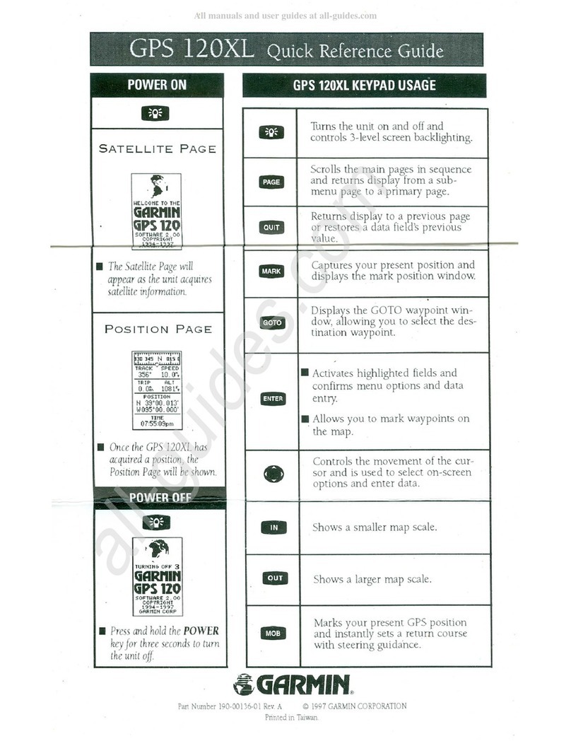
Garmin GPS 120XL User manual

Garmin

Garmin GPS 120XL User manual

Garmin GPSMAP 8500 Black Box User manual

Garmin

Garmin GPSMAP 8500 Black Box User manual

Garmin GPSMAP 640 User manual

Garmin

Garmin GPSMAP 640 User manual

Garmin GPSMAP 702 series User manual

Garmin

Garmin GPSMAP 702 series User manual

Garmin GNX 21 User manual

Garmin

Garmin GNX 21 User manual

Garmin GPSMAP 292 - Marine GPS Receiver Reference guide

Garmin

Garmin GPSMAP 292 - Marine GPS Receiver Reference guide

Garmin GNS 530W User manual

Garmin

Garmin GNS 530W User manual

Garmin GPS 190-01219-91 User manual

Garmin

Garmin GPS 190-01219-91 User manual

Garmin GMM 190 Operation and maintenance manual

Garmin

Garmin GMM 190 Operation and maintenance manual

Garmin ECHOMAP 60 Series User manual

Garmin

Garmin ECHOMAP 60 Series User manual

Garmin GPSMAP 546 User manual

Garmin

Garmin GPSMAP 546 User manual

Garmin GPSMAP 3005C User manual

Garmin

Garmin GPSMAP 3005C User manual

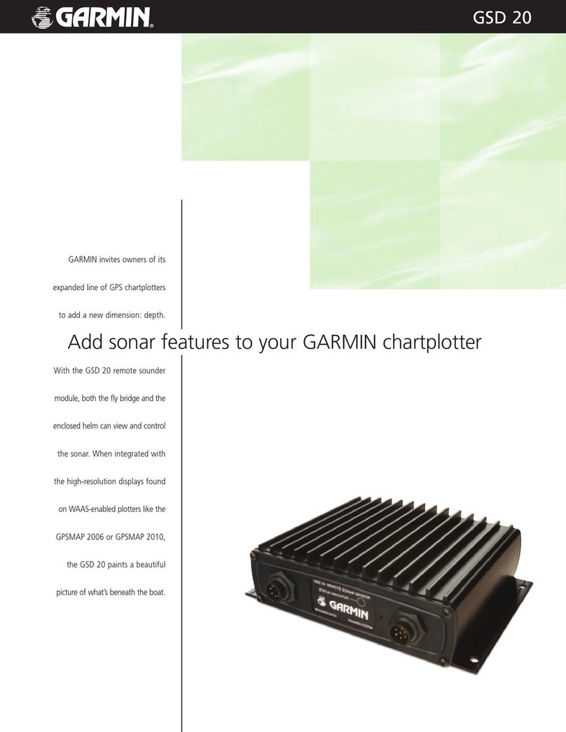
Garmin GSD20 Sounder Owner's manual

Garmin

Garmin GSD20 Sounder Owner's manual

Garmin GPS 17 Series User manual

Garmin

Garmin GPS 17 Series User manual

Garmin GPSMAP 7012 User manual

Garmin

Garmin GPSMAP 7012 User manual

Garmin echoMAP 70 Series User manual

Garmin

Garmin echoMAP 70 Series User manual

Garmin GPSMAP 4012 - Marine GPS Receiver User manual

Garmin

Garmin GPSMAP 4012 - Marine GPS Receiver User manual

Garmin FF 250 GPS Instruction manual

Garmin

Garmin FF 250 GPS Instruction manual

Garmin GPSMAP 8500 Black Box User manual

Garmin

Garmin GPSMAP 8500 Black Box User manual

Garmin GPSMAP 8500 Black Box Instruction manual

Garmin

Garmin GPSMAP 8500 Black Box Instruction manual

Garmin GPSMAP 190-01120-00 User manual

Garmin

Garmin GPSMAP 190-01120-00 User manual

Garmin nuvi serie 500 User manual

Garmin

Garmin nuvi serie 500 User manual

Garmin GPS 16 Series Reference guide

Garmin

Garmin GPS 16 Series Reference guide

Garmin GPSMAP 6012 User manual

Garmin

Garmin GPSMAP 6012 User manual

Popular Marine GPS System manuals by other brands

Thuraya SO-2510 user guide

Thuraya

Thuraya SO-2510 user guide

NovaSail NS360 operating manual

NovaSail

NovaSail NS360 operating manual

JRC JUE-410F - brochure

JRC

JRC JUE-410F - brochure

jotron AIS SART instruction manual

jotron

jotron AIS SART instruction manual

GSE MCG-101 Operation manual

GSE

GSE MCG-101 Operation manual

Nautic Alert Insight X2-VMS manual

Nautic Alert

Nautic Alert Insight X2-VMS manual

JRC JUE-250 - Operation manual

JRC

JRC JUE-250 - Operation manual

Furuno GP-1650W Operator's manual

Furuno

Furuno GP-1650W Operator's manual

Seatec AIS6 user manual

Seatec

Seatec AIS6 user manual

Sonardyne Lodestar Hardware manual

Sonardyne

Sonardyne Lodestar Hardware manual

Hughes 9211 quick start guide

Hughes

Hughes 9211 quick start guide

Thuraya MarineStar Firmware Upgrade Manual

Thuraya

Thuraya MarineStar Firmware Upgrade Manual

Global Sat SATweb EXPLORER How-to

Global Sat

Global Sat SATweb EXPLORER How-to

Thuraya IP Commander operating instructions

Thuraya

Thuraya IP Commander operating instructions

Seatex DPS 200 installation manual

Seatex

Seatex DPS 200 installation manual

Magellan GLOBAL SATELLITE TELEPHONE user manual

Magellan

Magellan GLOBAL SATELLITE TELEPHONE user manual

Iridium 9505A instructions

Iridium

Iridium 9505A instructions

Furuno GP-1850W Specifications

Furuno

Furuno GP-1850W Specifications

manuals.online logo
manuals.online logoBrands
  • About & Mission
  • Contact us
  • Privacy Policy
  • Terms and Conditions

Copyright 2025 Manuals.Online. All Rights Reserved.