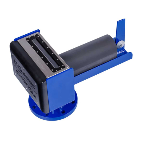
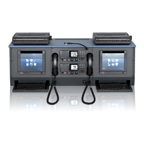
Easy Connect Box (ECB):
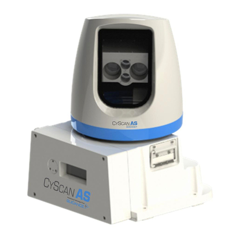
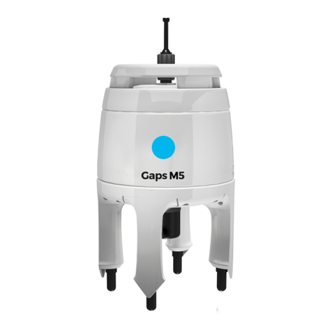
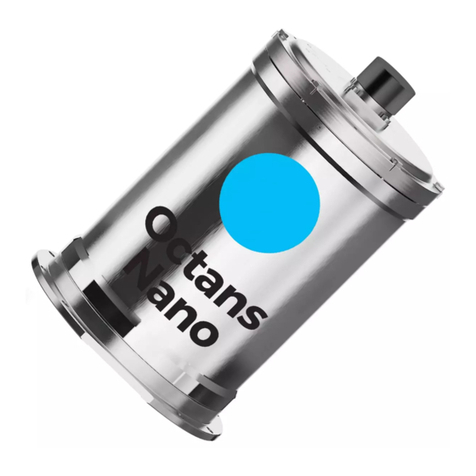
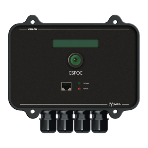
ECB is a small interface to connect GAPS, external GPS receiver, PC with MMI-software and data management system DShip. ECB is mounted to the 19"
Rack in room E-525a. The rearward switch activates the ECB, the front switch activates the GAPS.
GAPS MMI - Man Machine Interface - Software:
The MMI-Software starts the GAPS and tracks the underwater transponders. The Software is installed on the PC on the bridge and on laptop of laboratory
electronics engineer.
External GPS receiver:
On board Polarstern GAPS is connected to the on-board GPS receiver. An external GPS receiver is not necessary on board Polarstern, but it is optional
available for other fields of application.
Position
Info xyz-position is valid, if device is deployed through moonpool in box keel, electronics located in E525A.
X69.485 m
(X-0 is at the center of der rudder (ref. design drawing of the vessel), positive X-axis is forward and along vessel
centerline)
Y-1.658 m
(Y-0 at centerline, positive Y-axis is portside)
Z0.008 m
(Z-0 is set to the lowest point of the keel, positive Z-axis is upwards)
Data logging, storage and archiving
Logged parameters
Parameter Sensor Output
Type Unit
day date and time unknown
depth depth m
latitude latitude deg
longitude longitude deg
month date and time unknown
time in hours date and time unknown
year date and time unknown
x-coordinate distance m
y-coordinate distance m
z-coordinate distance m
roll attitude deg
pitch attitude deg
heading attitude deg
transponder number index unknown
Central geographical ship's position and time standard
Time synchronising of the PC with MMI-Software via Windows-Domain-Affiliation.
Centering of GPS-antenna position to GAPS and to transponders.
Rawdata storage on board
Storage of data in DShip system is established for transponders with number 0 (=antenna), 1, 2, 3 and 4.
Dship
Reduced measurement data.
Device
name GAPS
Parameters day; depth [m]; EW; latitude [°]; longitude [°]; month; NS; time in hours; transponder no sag; transponder no sax; x coordinate [m]; y coordinate [m];
year; z coordinare [m]; pitch [deg]; roll [deg]; heading std dev [deg]; pitch std dev [deg]; roll std dev [deg]; altitude std dev; latitude std dev; longitude std
dev; heading [deg]
